By Gordon McCraw, Meteorologist for the Tillamook County Pioneer
Monday, July 3, 2023
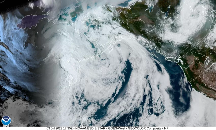
The low pressure area from last week has drifted into central Canada. The satellite picture appears to show that the low has captured some of the Canadian smoke we have heard about and sent it westward into British Columbia where the upper level northwesterly flow has pushed some of it down across our area. A look at this morning’s satellite picture shows a band of smoke just entering northwestern Oregon. We might be seeing an orange hue in the sunset tonight.
The high pressure ridge will start to intensify tonight and bring us warmer temperatures tomorrow and Wednesday. The good news for us though, the onshore flow will help to keep our temperatures moderate as compared to the valley, where the temperatures will likely be around 20 degrees warmer. Tonight, we will likely see some marine clouds returning with the winds diminishing, lows tonight near 51.
For Independence Day, look for gradual clearing with a mostly sunny afternoon, the winds becoming westerly 5-10, even with the onshore flow we still make it up to near 75. Look for mostly clear skies for all the fireworks, winds westerly 5-10 still, lows near 54. While the coast does not have any Advisories, Watches, or Warnings, there is a Heat Advisory that includes the Coast Range, that takes effect tomorrow morning, lasting through 11PM Wednesday. I also observed that the Relative Humidity yesterday was around 30% up around Lees Camp, which is pretty dry, and it should be even worse tomorrow and Wednesday. This, with the winds, will significantly increase the fire dangers so please be careful.
An upper level trough weakens the ridge Wednesday, which will also increase the westerly winds here, so not quite as warm as the previous day, we see mostly sunny skies with westerly winds 8-12 gusting to 18, the high near 72, in comes the marine layer and its clouds that thicken and give us a slight chance of patchy mist or drizzle after around midnight, light winds, lows near 55.
It appears we will be stuck under this weak trough for the rest of the week and the weekend so we should continue to see partly sunny days with the high only up near 65, thanks to the cooler sea surface temperatures just offshore and the westerly winds. The marine layer moves in each night and thickens after midnight bringing a chance of patchy fog, mist, and drizzle in the early morning hours, the lows near 52 through Sunday.
With the hot temperatures, the prolonged dry period with the very low humidity and winds, the fire danger, especially when you throw in personal fireworks, is becoming critical. I would expect to see some Red Flag Warnings issues for certain areas in the Pacific Northwest over the next few days. There have already been several small fires and Oregon currently has 14 active fires, the largest is around 43 acres in Umatilla County, and Washington is currently fighting a growing fire in the Columbia Gorge. Be extra careful and regardless of any Advisories or Warnings, check with the local fire agency for any restrictions in your area. DO NOT leave a fire unattended and DO NOT leave beach fires burning, or just cover them with sand. Put them out with water and make sure they are extinguished before you leave.
Health wise, remember to drink plenty of fluids when you are working or playing outdoors, stay out of the sun, when possible, and wear sunscreen, and DO Not leave pets or children unattended in vehicles. Know and be alert for signs and symptoms of heat exhaustion and stoke.
The final concern is water and swimming safety. The ocean temperatures are still quite cold and can cause hypothermia. There are also the ever-present Rip Current dangers. In the rivers, do not do a high dive into the river as you don’t really know how deep the water is. Boating safe, wear your lifejackets.
That’s it….all that is left is for everyone to have a happy (and safe) 4th, see all y’all Wednesday!