Menu
  • Home
  • Feature
    • Breaking News
    • Arts
    • Astrology
    • Business
    • Community
    • Employment
    • Event Stories
    • From the Pioneer
    • Government
    • Letters to the Editor
    • Non Profit News
    • Obituary
    • Public Safety
    • Podcast Interview Articles
    • Pioneer Pulse Podcast: Politics, Palette, and Planet – the Playlist
  • Guest Column
    • Perspectives
    • Don Backman Photos
    • Ardent Gourmet
    • Kitchen Maven
    • I’ve been thinking
    • Jim Heffernan
    • The Littoral Life
    • Neal Lemery
    • View From Here
    • Virginia Carrell Prowell
    • Words of Wisdom
  • Weather
  • Post Submission
  • Things to do
    • Calendar
    • Tillamook County Parks
    • Tillamook County Hikes
    • Whale Watching
    • Tillamook County Library
    • SOS Community Calendar
  • About
    • Contribute
    • Advertise
    • Subscribe
    • Opt-out preferences
  • Search...
Menu

GORDON’S UPDATE: Weather 10/13/23

Posted on October 13, 2023 by Editor

By Gordon McCraw, Meteorologist for the Tillamook County Pioneer

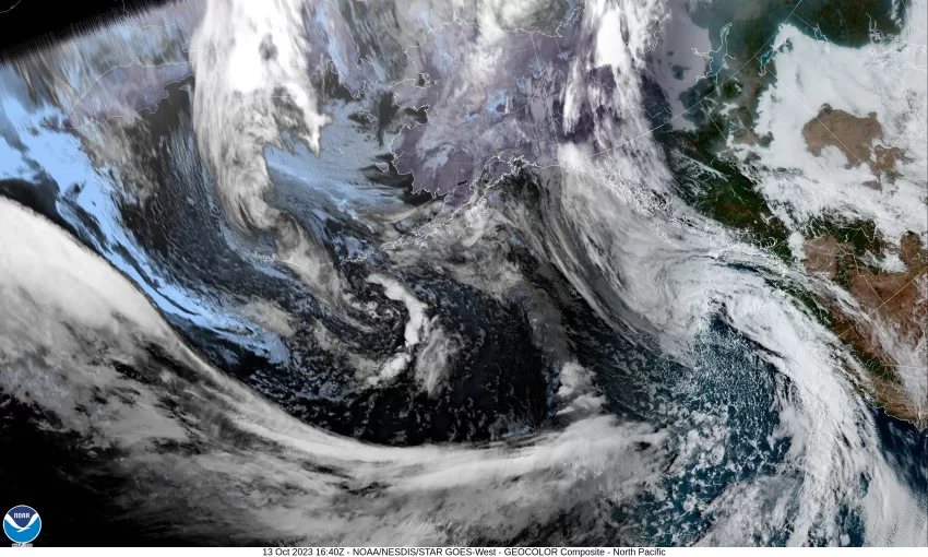
Well, the sunshine was nice but in comes another trough pushing in clouds and rain. We had a band of rain push through earlier this morning, then the main band pushes in this afternoon and will continue to bring rain through around midnight when it will transition to widely scattered showers into the early morning hours.  It looks like rainfall totals for today’s event will be less than ½”.  The winds shifted today and tonight they will continue out of the south at 5-10, the low around 51.

We have a brief rain break tomorrow morning though we still have a chance of some morning showers. This means there is a slight chance that the clouds may break up enough to catch a glimpse of the eclipse in the morning if you are lucky enough to be in a spot between showers under the mostly cloudy skies. Our friends over in the valley have about a 50/50 chance of seeing it! You will see the clouds thickening later tomorrow morning then in comes more rain by around noon, the winds southerly 4-8, highs near 63, then the rain eases and we transition to scattered showers around midnight tomorrow, winds southerly 5-10 gusting to 18, the low near 52.

Sunday is kind of the same as Saturday with showers likely in the morning then a chance of rain in the afternoon, the winds easterly 4-8, and the high near 68. Sunday night looks cloudy with a chance of rain still, light winds, lows near 54.

Monday brings yet another front and its associated rain until around noon when it transitions to scattered showers with possible afternoon thunderstorms, the high near 65, Monday night looks cloudy with the shower and thunderstorm threat, breezy also, lows near 51.

Tuesday, we see mostly cloudy skies with some showers still, the high near 63, then mostly cloudy skies Tuesday night but the shower activity becoming more widely scattered Tuesday night that diminish by around midnight, lows near 48.

By Wednesday a ridge of high pressure builds in, and we dry out with mostly sunny skies, the high climbs to near 69, and partly cloudy that night, lows near 50.


It looks like Thursday the ridge will be shifting eastward and have a disturbance riding over the top of the ridge.  This means there is a slight chance of showers returning, but the ridge will still be providing us mostly sunny skies with the high still up near 69.


Slide Slide Slide Slide Slide Slide Slide Slide Subscribe Contribute

Ads

Featured Video

Tillamook Weather

Tides

Tillamook County Pioneer Podcast Series

Tillamook Church Search

Cloverdale Baptist Church
Nestucca Valley Presbyterian
Tillamook Ecumenical Service

Archives

  • Home
  • EULA Privacy Policy
  • Contact
  • Opt-out preferences
  • Search...
Share on facebook
Facebook
Share on pinterest
Pinterest
Share on twitter
Twitter
Share on linkedin
Linkedin
Catherine

Recent Posts

  • ROCKAWAY BEACH READIES FOR JULY 4TH FESTIVITIES - HONORS VOLUNTEER OF YEAR & PARADE GRAND MARSHAL

    June 30, 2025
  • NEWS UPDATE FROM STATE REPRESENTATIVE DAVID GOMBERG: It's a Session Wrap!

    June 30, 2025
  • GORDON'S WEEKLY WEATHER UPDATE 6/30/25: Back to Normal Summer Weather This Week - Fair, Dry & Mild; Holiday Weekend Weather Looks Good

    June 30, 2025
©2025 | Theme by SuperbThemes

Manage Cookie Consent
To provide the best experiences, we use technologies like cookies to store and/or access device information. Consenting to these technologies will allow us to process data such as browsing behavior or unique IDs on this site. Not consenting or withdrawing consent, may adversely affect certain features and functions.
Functional Always active
The technical storage or access is strictly necessary for the legitimate purpose of enabling the use of a specific service explicitly requested by the subscriber or user, or for the sole purpose of carrying out the transmission of a communication over an electronic communications network.
Preferences
The technical storage or access is necessary for the legitimate purpose of storing preferences that are not requested by the subscriber or user.
Statistics
The technical storage or access that is used exclusively for statistical purposes. The technical storage or access that is used exclusively for anonymous statistical purposes. Without a subpoena, voluntary compliance on the part of your Internet Service Provider, or additional records from a third party, information stored or retrieved for this purpose alone cannot usually be used to identify you.
Marketing
The technical storage or access is required to create user profiles to send advertising, or to track the user on a website or across several websites for similar marketing purposes.
Manage options Manage services Manage {vendor_count} vendors Read more about these purposes
View preferences
{title} {title} {title}