Menu
  • Home
  • Feature
    • Breaking News
    • Arts
    • Astrology
    • Business
    • Community
    • Employment
    • Event Stories
    • From the Pioneer
    • Government
    • Letters to the Editor
    • Non Profit News
    • Obituary
    • Public Safety
    • Podcast Interview Articles
    • Pioneer Pulse Podcast: Politics, Palette, and Planet – the Playlist
  • Guest Column
    • Perspectives
    • Don Backman Photos
    • Ardent Gourmet
    • Kitchen Maven
    • I’ve been thinking
    • Jim Heffernan
    • The Littoral Life
    • Neal Lemery
    • View From Here
    • Virginia Carrell Prowell
    • Words of Wisdom
  • Weather
  • Post Submission
  • Things to do
    • Calendar
    • Tillamook County Parks
    • Tillamook County Hikes
    • Whale Watching
    • Tillamook County Library
    • SOS Community Calendar
  • About
    • Contribute
    • Advertise
    • Subscribe
    • Opt-out preferences
  • Search...
Menu

GORDON’S UPDATE: Weather 2/14/24 – Winter Weather Advisories Coast Range, Cascades; Rain continues at Coast

Posted on February 14, 2024 by Editor

By Gordon McCraw, Meteorologist for the Tillamook County Pioneer

An interesting and difficult forecast for the next couple of days as several areas are on the border of snow, no-snow! The big picture is, we had colder air push into the area yesterday and thus the Tillamook area sees freezing, or below freezing temperatures in the overnight hours. Fortunately, the marine effect heats up the area during the day, pushing the temperatures into the low 50s. The valley area is not as lucky as the colder temperatures are stuck under an inversion and trapped by the mountains. This is element one!

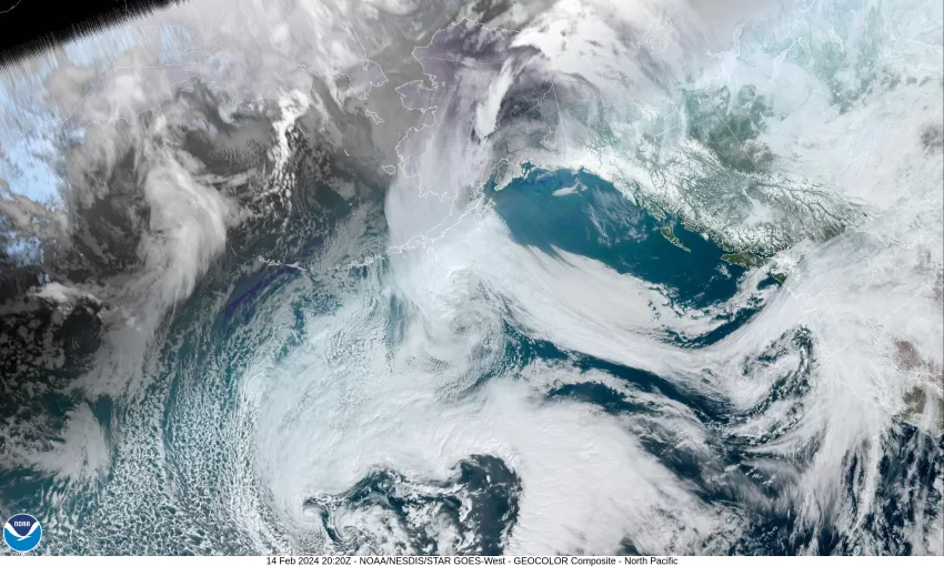
The next thing to add to the mix is a low pressure area moving to the northeast from west of northern California. This is spinning some moisture or light rain up into the area today that will affect our area around noon today. Because of the valley’s low temperatures, the Coast Range summit precipitation type will be dependent on the temperatures up across the top, which are still below freezing this morning as I write this. This explains why the National Weather Service issued a Winter Storm Advisory for the Coast Range from 10am today until 4pm tomorrow. They say there is a chance of 2-5” of snow there, with a chance of 5-10” above 2000’.

Now, if you are headed over to the Portland area, the rain will be hitting them also around noon today, where the high temperature is forecast to only reach 42. This means you will be okay during the day but then when the sun goes down, the temperatures there will also fall, and with the forecasted low of 35, and with some strong, cold, east winds pouring in from the Gorge, areas just east of Portland could see some low level snow. The Advisory is for up to 3” of snow from 8pm tonight through 4pm tomorrow. If you need to go east of that, they start talking feet of snow.

So, bringing it back over to our side of the Coast Range, obviously tonight will be rainy with the winds becoming southeasterly 10-15 gusting to 20, the low down near 40, then tomorrow more rain with southwesterly winds 8-12, the high makes it to near 49. More rain is likely tomorrow night with easterly winds 5-10, the low near 41. The Coast Range Summit is looking at more snow or a rain/snow mix tomorrow.

Friday, the rain eases some during the day, still breezy with east winds 14-18 gusting to 30 thanks to the low pressure area moving eastward through Washington and weak high pressure moving though here, the high near 48. By Friday night, we see more rain with another front pushing in from the southwest that also brings increasing easterly winds now 20-25 gusting to 35-40, the low near 40. As far as the Coast Range goes, with the warm system coming, but with the cold temperatures still hanging at the surface, there precipitation type will be changing during the day, snow in the morning, a rain/snow mix in the afternoon, then rain, or snow, or freezing rain that night.

As for the weekend, things should start to warm up enough that the Coast Range is looking at all rain finally. Here, yep, more rain, and breezy, Saturday into Sunday, highs near 53, lows near 41. And next week??? Well, you guessed it, a chance of rain still Monday and Tuesday, highs near 55, lows near 42.

My final thought is about the rivers, yes, the flow rates will increase from the rain, but no river flooding is expected, you could still see the usual Urban and Small Stream flooding that happens during the heavier rain periods, but, that is it!

Slide Slide Slide Slide Slide Slide Slide Slide Subscribe Contribute

Ads

Featured Video

Tillamook Weather

Tides

Tillamook County Pioneer Podcast Series

Tillamook Church Search

Cloverdale Baptist Church
Nestucca Valley Presbyterian
Tillamook Ecumenical Service

Archives

  • Home
  • EULA Privacy Policy
  • Contact
  • Opt-out preferences
  • Search...
Share on facebook
Facebook
Share on pinterest
Pinterest
Share on twitter
Twitter
Share on linkedin
Linkedin
Catherine

Recent Posts

  • ROCKAWAY BEACH READIES FOR JULY 4TH FESTIVITIES - HONORS VOLUNTEER OF YEAR & PARADE GRAND MARSHAL

    June 30, 2025
  • NEWS UPDATE FROM STATE REPRESENTATIVE DAVID GOMBERG: It's a Session Wrap!

    June 30, 2025
  • GORDON'S WEEKLY WEATHER UPDATE 6/30/25: Back to Normal Summer Weather This Week - Fair, Dry & Mild; Holiday Weekend Weather Looks Good

    June 30, 2025
©2025 | Theme by SuperbThemes

Manage Cookie Consent
To provide the best experiences, we use technologies like cookies to store and/or access device information. Consenting to these technologies will allow us to process data such as browsing behavior or unique IDs on this site. Not consenting or withdrawing consent, may adversely affect certain features and functions.
Functional Always active
The technical storage or access is strictly necessary for the legitimate purpose of enabling the use of a specific service explicitly requested by the subscriber or user, or for the sole purpose of carrying out the transmission of a communication over an electronic communications network.
Preferences
The technical storage or access is necessary for the legitimate purpose of storing preferences that are not requested by the subscriber or user.
Statistics
The technical storage or access that is used exclusively for statistical purposes. The technical storage or access that is used exclusively for anonymous statistical purposes. Without a subpoena, voluntary compliance on the part of your Internet Service Provider, or additional records from a third party, information stored or retrieved for this purpose alone cannot usually be used to identify you.
Marketing
The technical storage or access is required to create user profiles to send advertising, or to track the user on a website or across several websites for similar marketing purposes.
Manage options Manage services Manage {vendor_count} vendors Read more about these purposes
View preferences
{title} {title} {title}