By Gordon McCraw, Meteorologist for the Tillamook County Pioneer
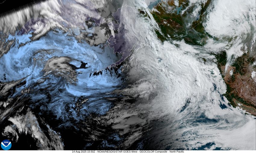
You may have been hearing rumblings of an “Atmospheric River” event being forecasted to strike the Pacific Northwest tomorrow. Well, it does appear we have a very moist front expected to move across the area tomorrow, Friday, that is a stronger system, at least for this time of year, that will bring a good shot of rain and breezy conditions to the area.
So, the forecast looks like this, we had a trough of low pressure enhance the onshore flow this morning that brought some patchy drizzle or mist with high temperatures in the upper 60s. Tonight, we could see some scattered light showers with light southerly winds, the low near 58.
Tomorrow starts out with scattered showers in the morning but then a front will push in the rain, with the winds, becoming southerly 10-15 gusting to 25 by the afternoon, the highs up around 65. The front will push through leaving scattered showers for tomorrow night, the breezy winds diminishing after around midnight, the lows near 53. Total rainfall for this event is likely between 1” to 1.5” of rain. A welcome relief for the low streams and rivers.
There could still be some scattered showers around Saturday morning, but things will start to dry out in the afternoon with any remaining showers being light and widely scattered. The winds becoming southwesterly 5-10, highs up near 68. We likely dry out Saturday night under mostly cloudy skies, some patchy early morning fog possible with calm winds, the low near 53.
Look for partly sunny skies Sunday after the patchy fog clears, highs near 68, the marine clouds move in Sunday night, lows near 53.
Summer returns for the start of next week with mostly sunny skies during the day and partly cloudy skies at night, high temperatures creeping up close to 70, nighttime lows in the low 50s.