By Gordon McCraw, Meteorologist for the Tillamook County Pioneer
We had a chilly start to the day with this morning’s low temperature dropping down to around 36 degrees that led to some patchy frost. Once the sun came up things started to improve with a ridge of high pressure building in, giving us a mostly sunny afternoon. Tonight though, we see increasing clouds associated with another approaching weather system that brings a slight chance of rain in the early morning hours, the low temperature tonight is not as chilly, only down to near 42.
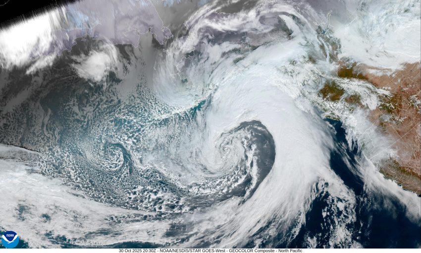
Tomorrow, Halloween, the rain chances continue to increase for the trick-or-treaters with another developing weak atmospheric river event that gives us a 50/50 chance of rain during the day with the rain likely by around 4:00 to 5:00 o’clock Friday. We will also see the winds increasing, becoming southeasterly 8-12 in the afternoon, the high near 61. The rain rates increase tomorrow night near midnight, the winds also increasing, becoming southerly 10-15 gusting to 20, with gusts to 25 to 30 at the beaches. Tomorrow’s lows temperature only near 54 and as far as expected rainfall totals, the models suggest 1 to 2” through Friday night.
The rainy, breezy conditions continue Saturday, bringing an additional ¾ to 1 ½” of rain, highs near 59, lows near 44.
By Sunday we see scattered showers, then things get a little harder to forecast, but, most of the models are showing a trough of low pressure off the coast, possibly with a low pressure area that could be impacting the coast on Monday and Tuesday, so the start of next week looks cloudy and rainy still.
A quick check of the area rivers and I see up and downs in river flow rates but none posing river flooding concerns still.
So, the trick or treaters have a chance of staying dry the earlier they go as the rain chances increase in the evening. And your final warning, don’t forget to Fall Back this weekend, set your clocks back before you go to bed Saturday. That’s it, so have a great weekend and stay safe everyone.