By Gordon McCraw, Meteorologist for the Tillamook County Pioneer
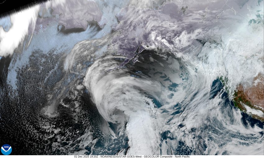
Well Tillamook, welcome to the first day of December already. You better start getting ready, there are only 24 more shopping days left until Christmas. So, we had a chilly start this morning with the temperatures here dropping to around 32 degrees, thanks to a ridge of high pressure giving some mostly clear skies, and a northerly flow that pulled in cooler air that combined with the radiational cooling overnight. After the sun came up, we saw some clouds moving in ahead of a disturbance that was dropping southeastward and bringing some misty skies. Tonight, we will have a weak cold front dropping through that will bring a chance of rain and rainshowers a little after midnight. With all the moisture and calm winds, we likely to also see some patchy early morning fog, the low only near 40.
There will be some more post frontal showers lingering around the area tomorrow, the winds becoming northwesterly 5-10, tomorrow high temperature up near 50. A decreasing chance of showers tomorrow night, the patchy fog returns with light winds, the overnight low again near 40.
High pressure returns Wednesday, and so does the northerly flow, but with mostly cloudy skies, the afternoon high is up around 51. The patchy fog returns under the mostly cloudy skies still Wednesday night, lows still near 41.
It looks like Thursday the ridge starts to flatten some as several disturbances ride over the ridge, which brings an increasing chance of rain Thursday, with rain likely Friday, and Saturday, and Sunday, the highs in the mid 50s, lows in the mid 40s.
Now, I do need to make a few remarks about the flooding potential this week from several sources. First, we have an increased Sneaker Wave hazards from tomorrow morning, Tuesday, through Wednesday evening as we could have increased swells from the incoming systems. Next, we are coming into another period of King Tides that could cause some tidal overflow flooding from Wednesday through Sunday, which peaks Thursday through Saturday. The expected tides, using the Garibaldi table, shows the tides at 10.0” Wednesday at 10:34am. This would mean there could be tidal overflow flooding in the usual spots in Nehalem, west of Tillamook along the Tillamook River, and down along Resort Drive in Pacific City, from around 9am through noon. The tides peak on Friday at around noon meaning the usual areas could see flooding from around 10am through 2pm. The peak tides lower each day with the flooding potential diminishing after Sunday.
Lastly, the models all agree that we will see rain moving in as we approach the weekend, at issue though is just how much rain we will see, this is where the models disagree. It looks like the greater amounts would be around Friday into Saturday and maybe Sunday. If the high-end rainfall models win, that would increase the odds of the rivers making it into Action or maybe even Minor Flooding stage early next week. The extended river models are not showing any flooding right now though the River Forecast folks say there is a 5-15% chance of seeing minor flooding. The message for now is just to watch for any forecast changes and take appropriate action if needed!
Lastly, a few December statistics, the average December high temperature for Tillamook is around 51, the average low is 38, and the average rainfall is about 12”, depending on which site you use as there are no “official” sites in Tillamook County. Know that there has been significant December flooding in Tillamook County in the past, from storms in 1964, 1995 that also had wind gusts to 120mph, then another major storm in 2015 and again in 2019 when we saw river flooding, down trees causing numerous power outages, with other infrastructure damage as well. The lowest temperature recorded in Tillamook County in December was on December 8th when it fell to 4 degrees, the second lowest in Tillamook’s history. So, as you can see, December is a good month to dust off that disaster emergency preparedness plan as there have been a few.
There is the good news, okay, there is the news for this week and for December. If the flooding potential increases significantly, I will update the forecast later this week. Until next time, have a great week everyone.