


Oregon is only about halfway through a normal fire season, according to Northwest Interagency Coordination Center Public Information Officer Jean Nelson-Dean. The fatigue many people are feeling in mid-August is what officials usually hear in September. Historically, the bulk of the state’s large-fire activity often continues into September and early October when drought and dry fuels persist.
By early August the state had already broken its acreage record, with roughly 2.34 million acres burned — surpassing the previous high of 2.08 million acres set in 2024.
Starts vs. Acres
The story of how fires start and how many acres they burn are not the same this year.
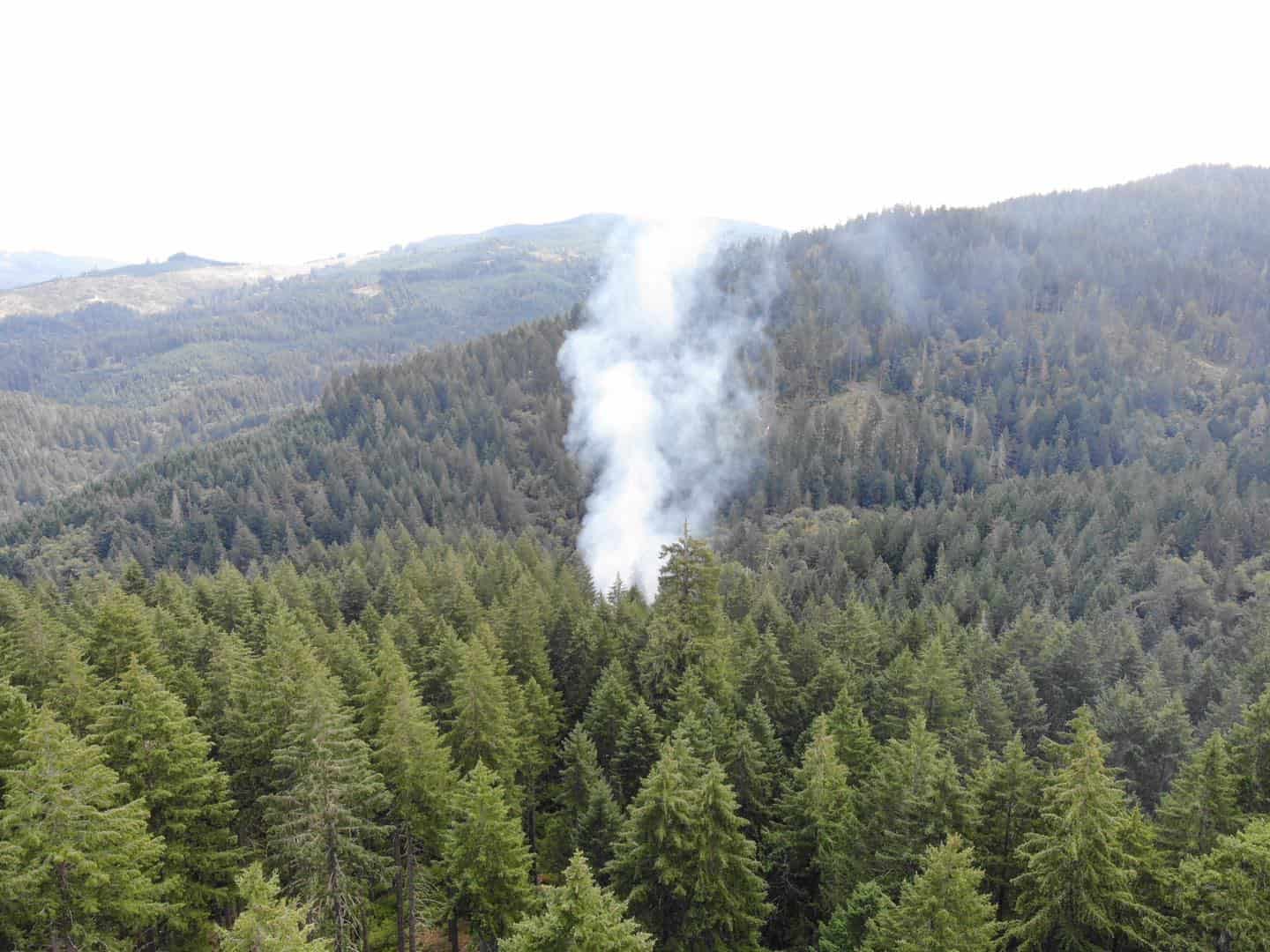
Most of the large acreage came from a burst of July lightning storms on the dry east side of the state. Complexes such as Rowe Creek (about 368,000 acres in Crook, Jefferson, and Wheeler counties), Hay Creek (more than 200,000 acres), Akawa Butte, Brewer, and others are listed as lightning-caused. One night of storms, followed by drought conditions, drove the rapid growth.
Despite that lightning activity, officials say the majority of individual fires this year have still been human-caused. That distinction matters for prevention: stopping the fires people start frees crews to respond to lightning-ignited fires that are harder to prevent.
Governor Tina Kotek has previously cited the long-term average that roughly 70 percent of Oregon fires are human-caused.
What “Arson” Actually Means in the Numbers
Arson is real, but it is not the main driver of most fires.
On Oregon Department of Forestry-protected lands, a long-term breakdown (2000–2025) shows roughly:
26% lightning
21% equipment
19% arson
12% recreation
Other human causes — debris burning, smoking, vehicles, power tools, target shooting, fireworks, and campfires — make up the rest. Investigators consistently report that the fires they respond to most often start from accidental sources rather than intentional sets.
This year’s largest fires have been lightning-driven. Accidental human starts still outnumber intentional arson.
One notable 2026 arson case on the record involves Paul Clinton Emerson, 61, of Ontario, who was charged in Malheur County with 15 counts of second-degree arson related to June–July fires, including the Lytle Fire (about 6,500 acres). Those are charges, not a conviction, and the fires occurred on eastern Oregon rangeland, not in Tillamook County.
Local Picture
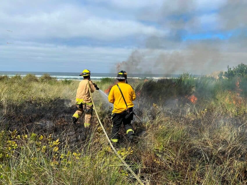
The Northwest Oregon Fire Protective Association season began June 15. A mid-July report noted more than 8,000 lightning strikes statewide, with three confirmed fires in the northwest and additional struck trees that did not ignite. Tillamook crews and South Fork Forest Camp resources were sent to help on the east and south sides of the state.
As of August 13, inland areas of Tillamook County were under High fire danger while the coastal zone remained at Moderate. Restrictions can change with the weather. Residents can check current conditions by calling the Tillamook District recorded line at 503-842-2548 or reviewing the Oregon Department of Forestry restrictions map.
Smoke from large fires in Canada and the eastern part of the state has also periodically affected air quality along the north coast this summer, adding another layer of impact even when local fire activity remains relatively limited.
For north coast residents, the takeaway remains prevention-focused. Even with most large acres burning on the east side, human-caused starts are still the majority of individual fires statewide. That means the usual rules (no debris burning, careful equipment use, fully extinguished campfires, and checking current restrictions) continue to matter here, especially while inland danger stays elevated.
Officials continue to emphasize the same point: the fires people can prevent are the ones that free resources for the ones they cannot.
