










By Gordon McCraw, Meteorologist for the Tillamook County Pioneer
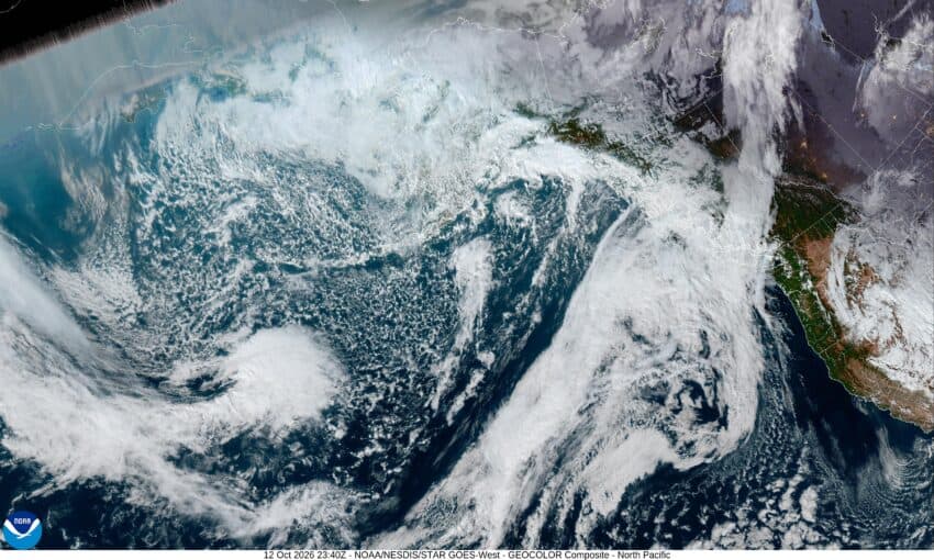
Well, it was a chilly weekend for everyone, including Tillamook, with the morning lows dipping into the low to mid 30s, even bringing some patchy fog and frost to many areas. Today we saw the upper level ridge of high pressure continuing to build in from the west as a weakening low pressure area drops southward in the eastern part of the state, into Nevada. This gave us mostly sunny skies today, but we could see some clouds riding over the ridge and pushing through the area tonight bringing increasing cloudiness. With the calm winds, tonight’s low only drops to near 41.
Tomorrow looks partly sunny as the ridge starts to flatten in response to a system pushing in to the north, and with calm winds, the afternoon high temperature is again near 61. We see mostly cloudy skies tomorrow night with calm winds still, there could be some patchy fog again, but the low temperatures only fall to near 45.
That system moves across bringing rain to Vancouver Island and the north Washington Coast Wednesday, so we start out cloudy and foggy that morning but see sunny skies in the afternoon as that ridge builds back in, and with calm winds still, the afternoon high temperature is around 64. We see some patchy fog around Wednesday night, otherwise some partly cloudy skies and a low near 49.
With the upper level ridge building in even more on Thursday, we see fair, dry, and mild conditions returning with sunny skies and a high up around 71, then a mostly clear night with a low near 50.
By Friday though, the ridge starts to get pushed east by another approaching trough of low pressure that starts to cool things back down, so with a few clouds moving through we see a high of 67, then more clouds move in Friday night, the low near 50.
Of course, it’s the weekend, so Saturday looks mostly cloudy with a chance of rain thanks to the trough moving in, the afternoon high temperature near 62. We can expect mostly cloudy skies that night with the low near 45.
And Sunday, well, mostly cloudy with a slight chance of rain still, the high near 61, the low near 45.
And lastly, the October El Nino synopsis came out on the 8th and as was expected, it had strengthened and is expected to further strengthen through the end of the year so nothing new there.
And by the way, after a two-year suspension on Facebook for something a hacker posted, GAM Weather is back up and running. Go Like and Follow if you wish, and with that, I hope to see yall again next week.
