")

By Gordon McCraw, Meteorologist for the Tillamook County Pioneer
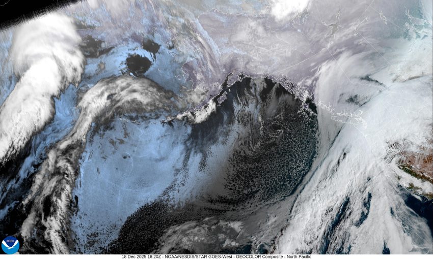
La Nina, the gift that keeps on giving this winter season. While Winter doesn’t officially begin until December the 21st, it has certainly given the Pacific Northwest a season it hasn’t seen in some time. As I write this, this morning, the National Weather Service River Forecast Division just increased the river crest levels for the Tillamook County Rivers. The new forecast, that was recently issued, changed the Wilson, Trask and Nehalem Rivers’ crests, where some were already forecasted to peak up near Minor Flood Stage, are now forecasted into Moderate, and less than a half foot from Major Flood Stage. Know that these levels can and will likely change again today as the event unfolds, and they receive new modeling results. So far, in the last 24hrs, the Tillamook area has seen about 1” of rain with plenty more expected.
So now, let’s get into the forecast. It appears we are headed into a strong, possibly severe Atmosphere River event today and tonight that will bring an increasing risk of flooding, landslides, Urban and Small Stream Flooding, power outages, and we can throw in coastal tidal overflow flooding also. There is also a chance of seeing high winds at the beaches and headlands though the greatest risk of this is south of Tillamook. As you already know the forecast…rain…about 2-3” in town and 3-5” in the Coast Range, so I will now go into each of the risks I just mentioned.
Let’s start with the flooding. A recent River Forecast just increased the cresting levels of each of the Tillamook rivers.
The Nehalem River is now forecasted to crest into Moderate Flood Stage tonight around 10pm at 21’. At this level you can expect flooding of some buildings in the town of Nehalem, with the situation worsening during the high tide, which tonight is around midnight. Also expect widespread low land flooding and numerous flooded rural roads from Foss, downstream to Nehalem.
The Wilson River is now forecasted to crest just below Major Flood Stage, cresting around 10pm tonight at 18.69’ (major is 19’). At this level you can expect the flood waters threaten the Wilson River RV Park east of Tillamook along Hwy 6 and the RV park west of Tillamook as well. Expect flooding along Hwy 101 north of Tillamook from Hoquarton Slough north to the Tillamook Creamery, especially during high tides. The most noticeable flood impacts are to low-lying roads and some buildings near Dougherty Slough and the Wilson River. Expect flooding of low lying dairy and pastureland and some rural access roads from Wilson River Loop Rd downstream to Hwy 101 and along Makinster Rd and Goodspeed Rd. The Hwy 6 underpass at the railroad bridge is usually flooded. Hwy 101 through the northern portion of Tillamook has historically been closed at this and higher stages. Again, the worst of the flooding can be expected during high tides. Know also that there is a chance that the Wilson River Loop will also be closed due to the flooding, so if you are in town, or south of town, and need to go north of town, or vice-versa you will be stuck. Something you want to consider, BEFORE they close Hwy 101!
The Trask River is forecasted to crest into Moderate Flood Stage, at 18.88’. At this level you can expect flooding along the lower Trask River. Dairy farms, buildings, and some residences adjacent to the Trask in the vicinity of Hwy 101 will be flooded. Water may be overflowing onto Long Prairie Road.
The Nestucca River is now forecasted to crest into Minor Flood stage at around 10pm tonight at 18.96’. This, combined with the tidal overflow from the high tides at around midnight, could impact some roads along the Nestucca River in Pacific City.
They do not issue a forecast for the Miami River but you can bet that it will flood also, and likely close the Miami-Foley Road just east of Garibaldi.
Now the winds, while not expected to be an impactful as the winds from the last system, they are still expecting strong winds of 35 to 45 in town, with gusts at the beaches and headlands 50-60. The winds are actually expected to be stronger from Lincoln County southward.
Now, lets talk about all the Advisories, Watches, and Warning for the Tillamook County area.
-Flood Watch from now until Saturday the 20th at 4pm
-Coastal Flood Advisory from now until 4pm this evening
-Flood Warning for the Trask River until Friday Morning
-Flood Warning for the Wilson River until Friday Morning
-Flood Warning for the Nehalem River until Friday Afternoon
Other concerns are:
-Increased risk of Sneaker Waves,
-And during periods of heavy rain, there is an increased risk of Urban and Small Stream Flooding through around 10pm tonight.
Looking down the road, it does appear things start to settle down this weekend with only some lighter rain or rainshowers expected. We could see a low pressure system causing an increase in rain with a chance of thunderstorms with gusty winds Sunday night into Monday, but other than that, I will just call it more typical rain is expected over the weekend and through the first half of next week.
It is important to realize that all this is fluid, meaning things can change between now and the end of this event. It is best to review the situation every few hours to see what has changed, and it will! Just because it says something now doesn’t mean that it won’t change in an hour or so.
The last news, good or bad, is that the Climate Prediction Center issued a forecast on the 17th that suggested we had a moderate risk of heavy precipitation, with high winds, and heavy Cascade Snow between December 23 through December 29th, though they pointed out there was uncertainty on the storm track, timing, wind speeds and precipitation amounts. I will, however, point out that their last couple of Long Range Hazard Outlook Forecasts were pretty good!
That’s all I can think of! I’ll close by just saying, good luck and Stay Safe!