Menu
  • Home
  • Breaking News
  • Feature
    • Arts
    • Astrology
    • Business
    • Community
    • Employment
    • Event Stories
    • From the Pioneer
    • Government
    • Letters to the Editor
    • Non Profit News
    • Obituary
    • Public Safety
    • Podcast Interview Articles
    • Pioneer Pulse Podcast: Politics, Palette, and Planet – the Playlist
  • Weather
  • Guest Column
    • Perspectives
    • Don Backman Photos
    • Ardent Gourmet
    • Kitchen Maven
    • I’ve been thinking
    • Jim Heffernan
    • The Littoral Life
    • Neal Lemery
    • View From Here
    • Virginia Carrell Prowell
    • Words of Wisdom
  • Things to do
    • Calendar
    • Tillamook County Parks
    • Tillamook County Hikes
    • Whale Watching
    • Tillamook County Library
    • SOS Community Calendar
  • About
    • Contribute
    • Advertise
    • Subscribe
    • Opt-out preferences
  • Post Submission Test
  • Search...
Menu

GORDON’S UPDATE: Weather 2/5/24 – Showers, Cooler Temperatures Continue

Posted on February 5, 2024February 5, 2024 by Editor

LISTEN HERE:

By Gordon McCraw, Meteorologist for the Tillamook County Pioneer

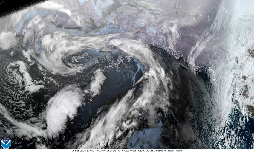
A low pressure area, and an associated trough of low pressure, extends from Northern California northeastward across Oregon into Washington, and is bringing light rain into our area into this afternoon. The trough and low will be slow to move eastward so tonight we still have a chance of rain with westerly winds 4-8, the low near 42.

The trough is still influencing our weather tomorrow so we see a chance of rain in the morning, turning to a chance of showers under partly sunny skies by the afternoon. As the trough axis drifts to our east putting us under a northwesterly flow, the winds becoming northwesterly 4-8 in the afternoon, the high near 51. Look for mostly cloudy skies tomorrow night, the shower chance ease some, the winds becoming southwesterly 4-8 and the snow level drops to around 2500’ with the overnight low temperatures down near 39.

Wednesday, the trough continues to drift eastward and pull down some cooler temperatures on the west side of the trough, so we see more rain Wednesday with mostly cloudy skies, the winds southwesterly in the morning becoming northwesterly in the afternoon 4-8, high temperatures around 48, the snow level that started out around 2000’ that morning climbs to near 2500’ in the afternoon. You still have a chance of rain Wednesday night, the snow level hangs around 2500’, the low down near 38.

So, Thursday on, the models start getting mixed, but with a large trough of low pressure to the east and a strong ridge of high pressure to the west, which reinforces the northerly flow over our area, it appears we continue with partly sunny to mostly cloudy days and mostly cloud nights with a chance of rain both Thursday and Friday as disturbances ride down into the area in the flow, high temperatures around 50, nighttime lows down around 39. It does look like there is a chance of some snow as low as the tops of the summits, and some of the models even suggest the temperatures will be even lower by Thursday that would push the snow levels even lower, possibly bringing low level accumulating snow again over in the valley and the eastern slopes of the passes. Before folks get too excited though, the odds of this are pretty low as certain conditions would have to be met for this to happen.

As for the weekend, the ridge of high pressure to the west will try to build into the area which would ease the rain threat, but for now, with the uncertainty, I will go with partly sunny to mostly cloudy skies, still a chance of some light rain, highs near 52, and the lows near 40.

Featured Video

Slide Contribute SUBSCRIBE

Tillamook Weather

Tides

Tillamook County Pioneer Podcast Series

Tillamook Church Search

Cloverdale Baptist Church
Nestucca Valley Presbyterian
Tillamook Ecumenical Service

Archives

  • Home
  • EULA Privacy Policy
  • Contact
  • Opt-out preferences
  • Search...
Share on facebook
Facebook
Share on pinterest
Pinterest
Share on twitter
Twitter
Share on linkedin
Linkedin
Catherine

Recent Posts

  • David's Chair Now Available at Rockaway Beach - Official Dedication, Blessing May 17th

    May 21, 2025
  • GORDON'S VOLCANO UPDATE 5/21/25: Volcano to Erupt West of Astoria THIS YEAR!

    May 21, 2025
  • A PERSONAL POINT OF PRIVILEGE: Hurry Up and Wait

    May 21, 2025
©2025 | Theme by SuperbThemes

Manage Cookie Consent
To provide the best experiences, we use technologies like cookies to store and/or access device information. Consenting to these technologies will allow us to process data such as browsing behavior or unique IDs on this site. Not consenting or withdrawing consent, may adversely affect certain features and functions.
Functional Always active
The technical storage or access is strictly necessary for the legitimate purpose of enabling the use of a specific service explicitly requested by the subscriber or user, or for the sole purpose of carrying out the transmission of a communication over an electronic communications network.
Preferences
The technical storage or access is necessary for the legitimate purpose of storing preferences that are not requested by the subscriber or user.
Statistics
The technical storage or access that is used exclusively for statistical purposes. The technical storage or access that is used exclusively for anonymous statistical purposes. Without a subpoena, voluntary compliance on the part of your Internet Service Provider, or additional records from a third party, information stored or retrieved for this purpose alone cannot usually be used to identify you.
Marketing
The technical storage or access is required to create user profiles to send advertising, or to track the user on a website or across several websites for similar marketing purposes.
Manage options Manage services Manage {vendor_count} vendors Read more about these purposes
View preferences
{title} {title} {title}