Menu
  • Home
  • Breaking News
  • Feature
    • Arts
    • Astrology
    • Business
    • Community
    • Employment
    • Event Stories
    • From the Pioneer
    • Government
    • Letters to the Editor
    • Non Profit News
    • Obituary
    • Public Safety
    • Podcast Interview Articles
    • Pioneer Pulse Podcast: Politics, Palette, and Planet – the Playlist
  • Weather
  • Guest Column
    • Perspectives
    • Don Backman Photos
    • Ardent Gourmet
    • Kitchen Maven
    • I’ve been thinking
    • Jim Heffernan
    • The Littoral Life
    • Neal Lemery
    • View From Here
    • Virginia Carrell Prowell
    • Words of Wisdom
  • Things to do
    • Calendar
    • Tillamook County Parks
    • Tillamook County Hikes
    • Whale Watching
    • Tillamook County Library
    • SOS Community Calendar
  • About
    • Contribute
    • Advertise
    • Subscribe
    • Opt-out preferences
  • Post Submission Test
  • Search...
Menu

GORDON’S UPDATE: Weather 3/24/23 – Unstable air, Unsettled weather continues

Posted on March 24, 2023March 24, 2023 by Editor

Friday, March 24, 2023

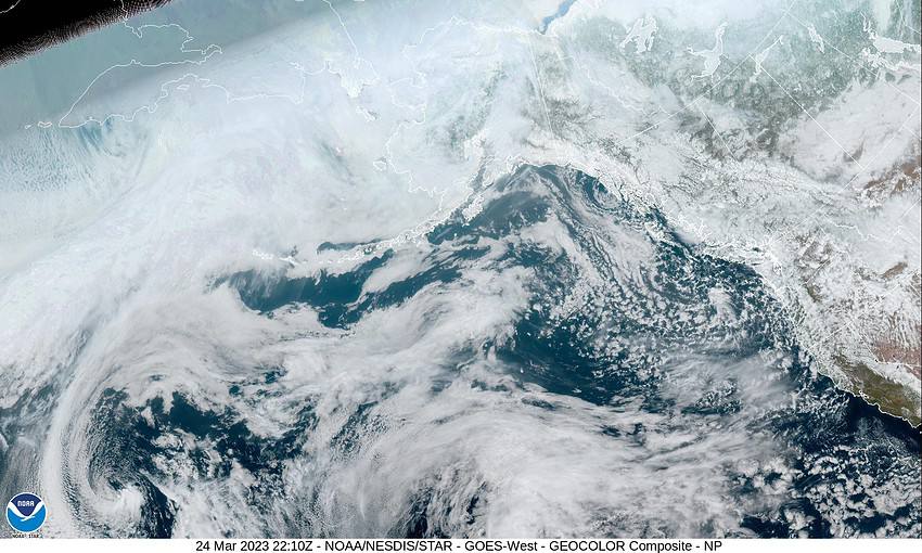
Yesterday’s front left behind an upper level trough of low pressure that gave the area some colder, unstable air which delivered some brief heavy showers with small hail, some mountain snow, and even a thunderstorm or two. Today it looked like the snow level started out at 1000’ but in the heavy showers, snow was seen down to near 500’. The snow level climbed up to near 1300’ in the afternoon with daytime heating pushing the temperatures into the mid 40s.

Tonight we can expect more of the same with the trough parked over the area, more showers with possible hail and/or thunderstorms, winds tonight westerly 8-12 gusting to 20, the low down near 33 so the snow level back down to near 1000’ though the snow could be lower in the heavier showers. This also means the Coast Range passes will continue to see accumulating snow making travel across the summit difficult at times.

With the trough still in the area, tomorrow looks much the same with scattered showers that can produce some small hail, still a chance of a thunderstorm or two, winds westerly 8-12, the high near 45, the snow level still hovering around 1300’ though snow is still possible lower in the heavier showers. Then the forecast is a repeat for tomorrow night, showers, hail, and thunderstorms with the winds northwesterly 5-10 gusting to 15, the low again drops to near 33.

By Sunday, weak high pressure builds in, so the shower activity eases some and the thunderstorm threat goes away, the high near 47, the snow level around 1500’. Then the shower activity becomes even more scattered Sunday night and the snow level around 1000’ that night, lows still near 33.

As for next week, it looks like an upper level low will be dropping down the coast towards the northern California Coast so Monday looks partly sunny and breezy with a chance of showers, highs warming to near 53, lows near 38, the snow level lifting to near 2200’.

Still partly sunny Tuesday and Wednesday with a chance of showers, highs up near 56, lows down near 38, the snow level around 2000-2500’.

Featured Video

Slide Contribute SUBSCRIBE

Tillamook Weather

Tides

Tillamook County Pioneer Podcast Series

Tillamook Church Search

Cloverdale Baptist Church
Nestucca Valley Presbyterian
Tillamook Ecumenical Service

Archives

  • Home
  • EULA Privacy Policy
  • Contact
  • Opt-out preferences
  • Search...
Share on facebook
Facebook
Share on pinterest
Pinterest
Share on twitter
Twitter
Share on linkedin
Linkedin
Catherine

Recent Posts

  • Making Waves: Western Oregonians Increasingly Support Marine Reserves

    May 31, 2025
  • ARDENT GOURMET: Don’s Favorite Foods

    May 31, 2025
  • Tillamook Coast Partners with Leave No Trace, Launches Seven Principles for Responsible Travel

    May 31, 2025
©2025 | Theme by SuperbThemes

Manage Cookie Consent
To provide the best experiences, we use technologies like cookies to store and/or access device information. Consenting to these technologies will allow us to process data such as browsing behavior or unique IDs on this site. Not consenting or withdrawing consent, may adversely affect certain features and functions.
Functional Always active
The technical storage or access is strictly necessary for the legitimate purpose of enabling the use of a specific service explicitly requested by the subscriber or user, or for the sole purpose of carrying out the transmission of a communication over an electronic communications network.
Preferences
The technical storage or access is necessary for the legitimate purpose of storing preferences that are not requested by the subscriber or user.
Statistics
The technical storage or access that is used exclusively for statistical purposes. The technical storage or access that is used exclusively for anonymous statistical purposes. Without a subpoena, voluntary compliance on the part of your Internet Service Provider, or additional records from a third party, information stored or retrieved for this purpose alone cannot usually be used to identify you.
Marketing
The technical storage or access is required to create user profiles to send advertising, or to track the user on a website or across several websites for similar marketing purposes.
Manage options Manage services Manage {vendor_count} vendors Read more about these purposes
View preferences
{title} {title} {title}