Menu
  • Home
  • Feature
    • Breaking News
    • Arts
    • Astrology
    • Business
    • Community
    • Employment
    • Event Stories
    • From the Pioneer
    • Government
    • Letters to the Editor
    • Non Profit News
    • Obituary
    • Public Safety
    • Podcast Interview Articles
    • Pioneer Pulse Podcast: Politics, Palette, and Planet – the Playlist
  • Guest Column
    • Perspectives
    • Don Backman Photos
    • Ardent Gourmet
    • Kitchen Maven
    • I’ve been thinking
    • Jim Heffernan
    • The Littoral Life
    • Neal Lemery
    • View From Here
    • Virginia Carrell Prowell
    • Words of Wisdom
  • Weather
  • Post Submission
  • Things to do
    • Calendar
    • Tillamook County Parks
    • Tillamook County Hikes
    • Whale Watching
    • Tillamook County Library
    • SOS Community Calendar
  • About
    • Contribute
    • Advertise
    • Subscribe
    • Opt-out preferences
  • Search...
Menu

GORDON’S UPDATE: Weather 6/14/23 – Showers in the forecast …

Posted on June 14, 2023 by Editor

By Gordon McCraw, Meteorologist for the Tillamook County Pioneer

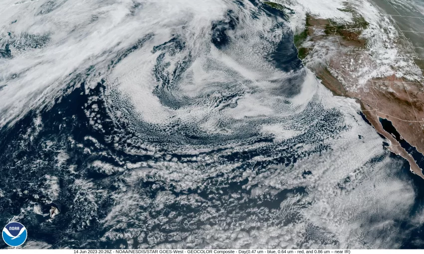
The high pressure ridge to the west is building back towards its northeast, while the low pressure area associated with the weak front that went through continues to exit to the east. All this continues to give us a strong onshore flow that pushes in the marine clouds, especially at night, along with cooler daytime temperatures. So, tonight we see the marine clouds back in again with the winds northwesterly 5-10 gusting to 18 but easing some after around midnight, the low near 48.

The onshore flow eases tomorrow which allows for more clearing in the afternoon, winds northwesterly 8-12, highs around 62. The clouds will increase again tomorrow night, winds becoming northerly 5-10, lows near 48.

Friday the ridge axis builts northeastward over northern Oregon which helps to warm us up some, so with partly sunny skies and westerly winds 5-10, the high makes it to around 65, then with mostly cloudy to cloudy skies Friday night, the low is near 50.

Saturday the ridge again flattens as a trough of low pressure moves across and drags another weak cold front towards the area which increases the clouds and gives us a slight chance of mainly light rain, the high only near 60, then we see a chance of showers behind the front, after around midnight, the low down to near 46.

Sunday, we have an upper level trough of low pressure move into the region that increases the shower chance and cools things down a little more, the afternoon high Sunday only near 57, more showers likely Sunday night, lows near 45. Just to add a little variety to this, there is a chance that the Santiam Pass could see some snow falling above around 4500’ early Sunday morning. Somewhat rare for this time of year with summer only one week away.

It looks like we will see some more showers on Monday under mostly cloudy skies, the highs still down around 59, with a chance of showers still Monday night, the lows near 48.

We will likely see the showers becoming more scattered Tuesday but still on the cooler side, the high near 58.

Slide Slide Slide Slide Slide Slide Slide Slide Subscribe Contribute

Ads

Featured Video

Tillamook Weather

Tides

Tillamook County Pioneer Podcast Series

Tillamook Church Search

Cloverdale Baptist Church
Nestucca Valley Presbyterian
Tillamook Ecumenical Service

Archives

  • Home
  • EULA Privacy Policy
  • Contact
  • Opt-out preferences
  • Search...
Share on facebook
Facebook
Share on pinterest
Pinterest
Share on twitter
Twitter
Share on linkedin
Linkedin
Catherine

Recent Posts

  • ROCKAWAY BEACH READIES FOR JULY 4TH FESTIVITIES - HONORS VOLUNTEER OF YEAR & PARADE GRAND MARSHAL

    June 30, 2025
  • NEWS UPDATE FROM STATE REPRESENTATIVE DAVID GOMBERG: It's a Session Wrap!

    June 30, 2025
  • GORDON'S WEEKLY WEATHER UPDATE 6/30/25: Back to Normal Summer Weather This Week - Fair, Dry & Mild; Holiday Weekend Weather Looks Good

    June 30, 2025
©2025 | Theme by SuperbThemes

Manage Cookie Consent
To provide the best experiences, we use technologies like cookies to store and/or access device information. Consenting to these technologies will allow us to process data such as browsing behavior or unique IDs on this site. Not consenting or withdrawing consent, may adversely affect certain features and functions.
Functional Always active
The technical storage or access is strictly necessary for the legitimate purpose of enabling the use of a specific service explicitly requested by the subscriber or user, or for the sole purpose of carrying out the transmission of a communication over an electronic communications network.
Preferences
The technical storage or access is necessary for the legitimate purpose of storing preferences that are not requested by the subscriber or user.
Statistics
The technical storage or access that is used exclusively for statistical purposes. The technical storage or access that is used exclusively for anonymous statistical purposes. Without a subpoena, voluntary compliance on the part of your Internet Service Provider, or additional records from a third party, information stored or retrieved for this purpose alone cannot usually be used to identify you.
Marketing
The technical storage or access is required to create user profiles to send advertising, or to track the user on a website or across several websites for similar marketing purposes.
Manage options Manage services Manage {vendor_count} vendors Read more about these purposes
View preferences
{title} {title} {title}