Menu
  • Home
  • Feature
    • Breaking News
    • Arts
    • Astrology
    • Business
    • Community
    • Employment
    • Event Stories
    • From the Pioneer
    • Government
    • Letters to the Editor
    • Non Profit News
    • Obituary
    • Public Safety
    • Podcast Interview Articles
    • Pioneer Pulse Podcast: Politics, Palette, and Planet – the Playlist
  • Guest Column
    • Perspectives
    • Don Backman Photos
    • Ardent Gourmet
    • Kitchen Maven
    • I’ve been thinking
    • Jim Heffernan
    • The Littoral Life
    • Neal Lemery
    • View From Here
    • Virginia Carrell Prowell
    • Words of Wisdom
  • Weather
  • Post Submission
  • Things to do
    • Calendar
    • Tillamook County Parks
    • Tillamook County Hikes
    • Whale Watching
    • Tillamook County Library
    • SOS Community Calendar
  • About
    • Contribute
    • Advertise
    • Subscribe
    • Opt-out preferences
  • Search...
Menu

GORDON’S UPDATE: Weather 6/27/23 – Warming temperatures through 4th of July holiday

Posted on June 27, 2023 by Editor

By Gordon McCraw, Meteorologist for the Tillamook County Pioneer
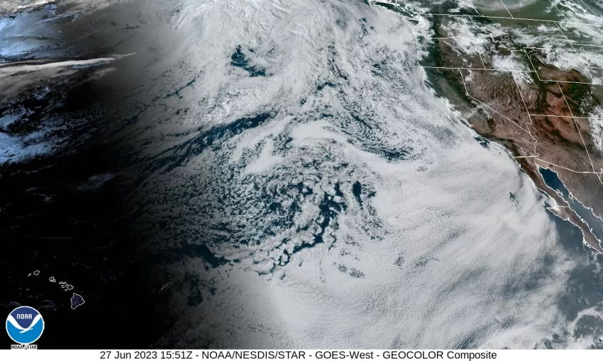
The weather picture today is a low pressure area over the eastern part of the state with the associated trough extending southwestward into central California. To our west there is the high pressure ridge that extends northeastward into Canada. The end result for us is a continued onshore flow that pushes in the marine clouds again tonight, the winds do die off with the low down near 54.

Tomorrow the low drifts eastward into Idaho as the ridge also shift southeastward toward the coast. This will allow for partial clearing of the marine clouds in the afternoon, the winds again northwesterly 5-10, highs near 67, then with the shift, we see partly cloudy skies tomorrow night, winds northerly 4-8 and diminishing, lows near 52.

Thursday, we see improving and warming conditions with mostly sunny skies, winds becoming northwesterly 5-10, highs climbing up to near 71, then some partly cloudy skies again that night, light winds, lows near 52.

The models continue to be mixed on how warm Friday on through the weekend will be. It looks like the ridge will flatten Friday as a trough of low pressure moves into British Columbia. This trough is associated with a low pressure center that moves into the Gulf of Alaska. The somewhat weaker ridge will cool us down a few degrees so look for mostly sunny skies with highs near 68, then a mostly clear but breezy night, lows near 48.

The uncertainty grows over the weekend: the question, will it be warm, or even warmer Saturday and Sunday? The variation is not as great for the coast as it will have the cooler, breezy onshore flow to help moderate the temperatures, so sunny skies for Saturday and Sunday, afternoon temperatures climbing to around 70 degrees, and mostly clear nights, lows near 50.

The indicators are that the first week of July, including the holiday on the 4th, will be sunny, hot and dry, especially over in the valley. Temperatures at the coast will likely warm into the low to mid 70s. The National Weather Service Portland highlights this pattern looks to elevate fire weather concerns down the road as it appears likely there will be a prolonged period of warming and drying of fuels above and inland from the marine layer (the coast range eastward). Throw in the expected fireworks and the dangers obviously increase. It does look like things settle down and we see cooler conditions starting the 5th.

Slide Slide Slide Slide Slide Slide Slide Slide Subscribe Contribute

Ads

Featured Video

Tillamook Weather

Tides

Tillamook County Pioneer Podcast Series

Tillamook Church Search

Cloverdale Baptist Church
Nestucca Valley Presbyterian
Tillamook Ecumenical Service

Archives

  • Home
  • EULA Privacy Policy
  • Contact
  • Opt-out preferences
  • Search...
Share on facebook
Facebook
Share on pinterest
Pinterest
Share on twitter
Twitter
Share on linkedin
Linkedin
Catherine

Recent Posts

  • TILLAMOOK PEOPLE’S UTILITY DISTRICT: July 2025 Meetings

    July 1, 2025
  • ROCKAWAY BEACH READIES FOR JULY 4TH FESTIVITIES - HONORS VOLUNTEER OF YEAR & PARADE GRAND MARSHAL

    June 30, 2025
  • NEWS UPDATE FROM STATE REPRESENTATIVE DAVID GOMBERG: It's a Session Wrap!

    June 30, 2025
©2025 | Theme by SuperbThemes

Manage Cookie Consent
To provide the best experiences, we use technologies like cookies to store and/or access device information. Consenting to these technologies will allow us to process data such as browsing behavior or unique IDs on this site. Not consenting or withdrawing consent, may adversely affect certain features and functions.
Functional Always active
The technical storage or access is strictly necessary for the legitimate purpose of enabling the use of a specific service explicitly requested by the subscriber or user, or for the sole purpose of carrying out the transmission of a communication over an electronic communications network.
Preferences
The technical storage or access is necessary for the legitimate purpose of storing preferences that are not requested by the subscriber or user.
Statistics
The technical storage or access that is used exclusively for statistical purposes. The technical storage or access that is used exclusively for anonymous statistical purposes. Without a subpoena, voluntary compliance on the part of your Internet Service Provider, or additional records from a third party, information stored or retrieved for this purpose alone cannot usually be used to identify you.
Marketing
The technical storage or access is required to create user profiles to send advertising, or to track the user on a website or across several websites for similar marketing purposes.
Manage options Manage services Manage {vendor_count} vendors Read more about these purposes
View preferences
{title} {title} {title}