Menu
  • Home
  • Breaking News
  • Feature
    • Arts
    • Astrology
    • Business
    • Community
    • Employment
    • Event Stories
    • From the Pioneer
    • Government
    • Letters to the Editor
    • Non Profit News
    • Obituary
    • Public Safety
    • Podcast Interview Articles
    • Pioneer Pulse Podcast: Politics, Palette, and Planet – the Playlist
  • Weather
  • Guest Column
    • Perspectives
    • Don Backman Photos
    • Ardent Gourmet
    • Kitchen Maven
    • I’ve been thinking
    • Jim Heffernan
    • The Littoral Life
    • Neal Lemery
    • View From Here
    • Virginia Carrell Prowell
    • Words of Wisdom
  • Things to do
    • Calendar
    • Tillamook County Parks
    • Tillamook County Hikes
    • Whale Watching
    • Tillamook County Library
    • SOS Community Calendar
  • About
    • Contribute
    • Advertise
    • Subscribe
    • Opt-out preferences
  • Post Submission Test
  • Search...
Menu

GORDON’S WEATHER UPDATE 2/28/24: Expected to turn cooler starting tonight with travel over Coast Range becoming more difficult in coming days

Posted on February 28, 2024 by Editor

LISTEN HERE:

By Gordon McCraw, Meteorologist for the Tillamook County Pioneer

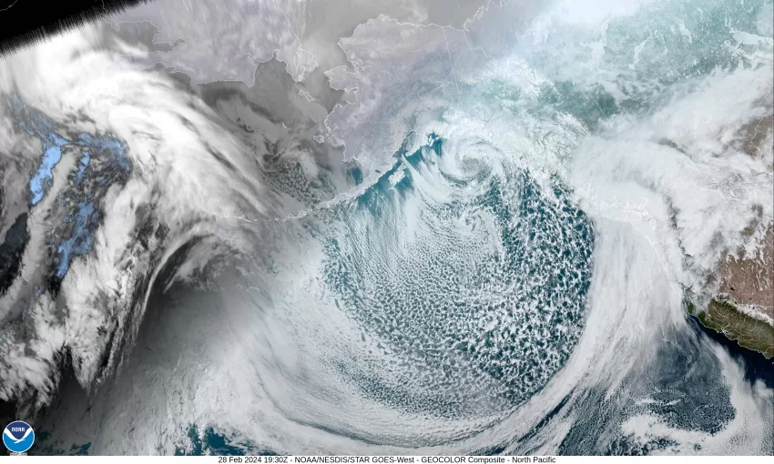
With a warm front moving in, we continue to see some warmer air, for the time being. With the front, we saw increasing rain and winds today, the afternoon high in the 50s. Tonight though, the associated cold front moves in and brings another 1-2” of rain along with some stronger southerly winds 20-25 gusting to near 45. The winds do ease after the front passes around midnight, becoming southwesterly 10-15 gusting to 20. The low drops to near 38, and the snow level that had climbed to around 4500’ yesterday, falls to near 2100’.

With the front through, the colder, more unstable air moves in, so we see showers, some heavier showers with possible hail and there is a chance of thunderstorms tomorrow. The winds still breezy 10-15 gusting to 25, the high temperature only up near 45, the snow level falling to near 1600’ by the afternoon so in the heavier showers, snow is possible at the summit. Tomorrow night, the snow level continues to fall to around 1400’ so there is snow expected below the summit pass levels as the shower and possible thunderstorm activity will continue. The winds tomorrow night southwesterly 10-15 gusting to 25, the low drops to near 35, so a lower rain/snow mix is possible at times in the heavier showers.

The colder, breezy weather continues Friday, still with the showers and possible thunderstorms, the high near 45, the snow level down to near 1100’. More of the same Friday night, and with the temperature falling overnight to around 34, we continue to see accumulating snow above around 800’ with lower snow briefly possible in the heavier showers. Remember too that with the breezy winds, the windchill will make it feel like the upper 20s at night so dress appropriately if you are outside.

Saturday morning the snow level is down around 500-700’, still the showers with possible thunderstorms, that lower snow possible that morning before things start to warm with daytime heating, the afternoon high near 44. The shower activity becomes more scattered by Saturday night, and we lose the thunderstorm threat, the lows still down around 34.

Conditions start to moderate Sunday, still some isolated showers with the snow level climbing to near 1400’ in the afternoon, so the summit is still looking at some more snow, the high near 45, Sunday night the snow level will hopefully push above 1500’, the low near 35.

It looks like things will return to our standard winter type stuff by Monday with some more rain expected but with the snow level around 2000-2500’, highs near 48, lows down near 37, maybe with some breezy winds into Tuesday.

With the snow expected in the Coast Range, the National Weather Service has issued a Winter Weather Advisory from 10pm tonight through 6am Friday for elevations above 1500’, which is around the summit level. This is for possible snow accumulation of 2-7” with 7-14” possible above 2500’. Know that travel over Hwy 6 or Hwy. 26 could be difficult at times. Also, the heavier rains will push the river levels up, but the chance of river flooding remains low.
If you must travel over the Coast Range or have travel plans in the Cascades, be sure to go to www.tripcheck.com for the latest road conditions.

Featured Video

Slide Contribute SUBSCRIBE

Tillamook Weather

Tides

Tillamook County Pioneer Podcast Series

Tillamook Church Search

Cloverdale Baptist Church
Nestucca Valley Presbyterian
Tillamook Ecumenical Service

Archives

  • Home
  • EULA Privacy Policy
  • Contact
  • Opt-out preferences
  • Search...
Share on facebook
Facebook
Share on pinterest
Pinterest
Share on twitter
Twitter
Share on linkedin
Linkedin
Catherine

Recent Posts

  • BRAVER ANGELS: Oregon Rural Urban Project Town Hall at Tillamook Library May 17th from 1 to 3pm

    May 11, 2025
  • Manzanita Citizen of the Year Nominations Open

    May 11, 2025
  • Support for Christy Kay for NCRD Board

    May 11, 2025
©2025 | Theme by SuperbThemes

Manage Cookie Consent
To provide the best experiences, we use technologies like cookies to store and/or access device information. Consenting to these technologies will allow us to process data such as browsing behavior or unique IDs on this site. Not consenting or withdrawing consent, may adversely affect certain features and functions.
Functional Always active
The technical storage or access is strictly necessary for the legitimate purpose of enabling the use of a specific service explicitly requested by the subscriber or user, or for the sole purpose of carrying out the transmission of a communication over an electronic communications network.
Preferences
The technical storage or access is necessary for the legitimate purpose of storing preferences that are not requested by the subscriber or user.
Statistics
The technical storage or access that is used exclusively for statistical purposes. The technical storage or access that is used exclusively for anonymous statistical purposes. Without a subpoena, voluntary compliance on the part of your Internet Service Provider, or additional records from a third party, information stored or retrieved for this purpose alone cannot usually be used to identify you.
Marketing
The technical storage or access is required to create user profiles to send advertising, or to track the user on a website or across several websites for similar marketing purposes.
Manage options Manage services Manage {vendor_count} vendors Read more about these purposes
View preferences
{title} {title} {title}