Menu
  • Home
  • Breaking News
  • Feature
    • Arts
    • Astrology
    • Business
    • Community
    • Employment
    • Event Stories
    • From the Pioneer
    • Government
    • Letters to the Editor
    • Non Profit News
    • Obituary
    • Public Safety
    • Podcast Interview Articles
    • Pioneer Pulse Podcast: Politics, Palette, and Planet – the Playlist
  • Weather
  • Guest Column
    • Perspectives
    • Don Backman Photos
    • Ardent Gourmet
    • Kitchen Maven
    • I’ve been thinking
    • Jim Heffernan
    • The Littoral Life
    • Neal Lemery
    • View From Here
    • Virginia Carrell Prowell
    • Words of Wisdom
  • Things to do
    • Calendar
    • Tillamook County Parks
    • Tillamook County Hikes
    • Whale Watching
    • Tillamook County Library
    • SOS Community Calendar
  • About
    • Contribute
    • Advertise
    • Subscribe
    • Opt-out preferences
  • Post Submission Test
  • Search...
Menu

GORDON’S WEATHER UPDATE 3/1/24: Hello March …. More rain on the way

Posted on March 1, 2024 by Editor

By Gordon McCraw, Meteorologist for the Tillamook County Pioneer
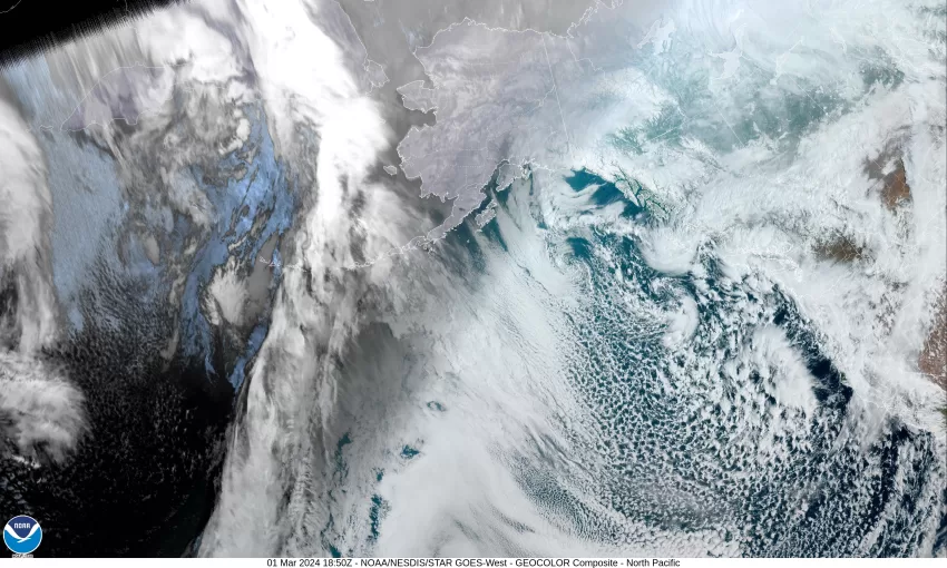
Welcome to March everyone. It looks like we are stuck in the rain mode for several more days as there is that trough of low pressure dominating the weather pattern for us that continues to push showers up across the area from the southwest. Today the activity is aided by a disturbance riding across the area in the southerly flow, then we see more showers rotating around a low up off the northern coast of Vancouver Island. I guess we can call this an active period. With the cold air in place, and more getting pushed in by the flow, we see snow showers across the Coast Range that are impacting the Hwy 6 and 26 summits. In the early morning hours when the temperatures are down in the mid to low 30s, the snow level continues to fall to around 500-900’ with accumulating snow expected above around 1000’. The snow levels are expected to climb some with daytime heating but will again lower when the sun goes down. The colder air getting pushed in is also somewhat unstable so there is that slight chance of thunderstorms. We did see a few across the region yesterday, mainly between the coast and the Coast Range. As far as the rain goes, this morning I see amounts of a half to a little over an inch across the area in the last 24 hours. Finally, we continue to have a Winter Storm Warning for the Coast Range in effect through 7am tomorrow morning for the chance of heavy snow above 1000’ that could bring another 3-8” near the summits, and 6-12” above around 2000’.

Now for that forecast, as mentioned, this evening and tonight we can expect continued shower activity with a slight chance of thunderstorms, the winds southerly 8-12 gusting to 20, the overnight low drops to near 35, the snow level down around 800’ except briefly falling in the heaver showers.

Little changes for tomorrow, we see rainshowers with some low snow or a mix possible through the early morning hours in the heavier showers, still that chance of a thunderstorm or two, accumulating snow likely above around 800’-1000’. The winds southerly 5-10 gusting to 18 that do ease some in the nighttime hours, highs tomorrow near 45, lows near 34.

On Sunday, we see rainshowers with that morning mix possible until daytime heating kicks in, still a slight chance of thunderstorms, the winds remain southerly 5-10, the snow level does lift to near 1400’ in the afternoon, highs near 45, the nighttime hours repeat the pattern of showers, low snow possible, and the slight chance of thunderstorms, it does look like we could be a little cooler with the overnight low dropping to near 33.

As for next week, it appears Monday the usual rainshowers, possibly the low snow mix to start, still a slight chance of thunderstorms that go away that evening, the afternoon snow levels 1000-1500’, highs near 45, lows near 33.

Tuesday on through at least Thursday appears to be mostly cloudy with scattered showers possible, high warming a little each day until reaching near 50 degrees by midweek, lows continue in the mid 30s.
Some of the models hint at a ridge of high pressure building in later next week, fingers crossed!

Featured Video

Slide Contribute SUBSCRIBE

Tillamook Weather

Tides

Tillamook County Pioneer Podcast Series

Tillamook Church Search

Cloverdale Baptist Church
Nestucca Valley Presbyterian
Tillamook Ecumenical Service

Archives

  • Home
  • EULA Privacy Policy
  • Contact
  • Opt-out preferences
  • Search...
Share on facebook
Facebook
Share on pinterest
Pinterest
Share on twitter
Twitter
Share on linkedin
Linkedin
Catherine

Recent Posts

  • Grove avenue closed in Tillamook for maintenance

    May 10, 2025
  • Astoria Farmers Market new, outdoor location with parking, with great Riverwalk access

    May 10, 2025
  • WORDS OF WISDOM: Boycotts and Protests in our Community Garden

    May 9, 2025
©2025 | Theme by SuperbThemes

Manage Cookie Consent
To provide the best experiences, we use technologies like cookies to store and/or access device information. Consenting to these technologies will allow us to process data such as browsing behavior or unique IDs on this site. Not consenting or withdrawing consent, may adversely affect certain features and functions.
Functional Always active
The technical storage or access is strictly necessary for the legitimate purpose of enabling the use of a specific service explicitly requested by the subscriber or user, or for the sole purpose of carrying out the transmission of a communication over an electronic communications network.
Preferences
The technical storage or access is necessary for the legitimate purpose of storing preferences that are not requested by the subscriber or user.
Statistics
The technical storage or access that is used exclusively for statistical purposes. The technical storage or access that is used exclusively for anonymous statistical purposes. Without a subpoena, voluntary compliance on the part of your Internet Service Provider, or additional records from a third party, information stored or retrieved for this purpose alone cannot usually be used to identify you.
Marketing
The technical storage or access is required to create user profiles to send advertising, or to track the user on a website or across several websites for similar marketing purposes.
Manage options Manage services Manage {vendor_count} vendors Read more about these purposes
View preferences
{title} {title} {title}