Menu
  • Home
  • Breaking News
  • Feature
    • Arts
    • Astrology
    • Business
    • Community
    • Employment
    • Event Stories
    • From the Pioneer
    • Government
    • Letters to the Editor
    • Non Profit News
    • Obituary
    • Public Safety
    • Podcast Interview Articles
    • Pioneer Pulse Podcast: Politics, Palette, and Planet – the Playlist
  • Weather
  • Guest Column
    • Perspectives
    • Don Backman Photos
    • Ardent Gourmet
    • Kitchen Maven
    • I’ve been thinking
    • Jim Heffernan
    • The Littoral Life
    • Neal Lemery
    • View From Here
    • Virginia Carrell Prowell
    • Words of Wisdom
  • Things to do
    • Calendar
    • Tillamook County Parks
    • Tillamook County Hikes
    • Whale Watching
    • Tillamook County Library
    • SOS Community Calendar
  • About
    • Contribute
    • Advertise
    • Subscribe
    • Opt-out preferences
  • Post Submission Test
  • Search...
Menu

GORDON’S WEEKEND WEATHER UPDATE 5/15/25: More showers and slight threat of thunderstorms

Posted on May 15, 2025 by Editor

By Gordon McCraw for the Tillamook County Pioneer
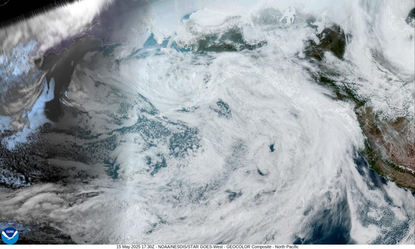
We continue to be in an active weather pattern as another system pushes in more clouds and some light scattered showers through tonight, the winds remain light and variable, tonight’s low temperature near 46.

With a stronger system expected tomorrow, we see an increase in shower coverage, but they continue to be mostly light in nature with only a tenth to a quarter of an inch of accumulation likely through tomorrow night. The afternoon winds become southerly 4-8, tomorrow’s high temperature up near 58, tomorrow night’s low near 48.

It looks like Saturday, we see more showers and with daytime heating, we also have a slight chance of afternoon thunderstorms into the evening hours, the winds becoming westerly 8-12 behind the front, the high temperature near 57. The threat of showers continues Saturday night though they become more scattered, lows near 45.

The shower activity becomes more widely scattered by Sunday morning as the front continues to push out of the area, and a ridge of high pressure starts building and moving towards the area bringing us a partly sunny and dry afternoon Sunday, the high temperature again near 57, and with mostly cloudy skies Sunday night, the low drops to near 43.

The models suggest we could see another weak disturbance for the start of next week, then they get mixed towards the middle of next week, some say warmer with more sun, some say cloudy and cooler.

Featured Video

Slide Contribute SUBSCRIBE

Tillamook Weather

Tides

Tillamook County Pioneer Podcast Series

Tillamook Church Search

Cloverdale Baptist Church
Nestucca Valley Presbyterian
Tillamook Ecumenical Service

Archives

  • Home
  • EULA Privacy Policy
  • Contact
  • Opt-out preferences
  • Search...
Share on facebook
Facebook
Share on pinterest
Pinterest
Share on twitter
Twitter
Share on linkedin
Linkedin
Catherine

Recent Posts

  • GORDON'S WEEKEND WEATHER UPDATE 5/15/25: More showers and slight threat of thunderstorms

    May 15, 2025
  • NEHALEM BAY STATE PARK TO OPEN DAY-USE AREAS, BOAT LAUNCH MAY 23, CAMPGROUND REMAINS CLOSED

    May 14, 2025
  • MANZANITA FARMERS MARKET OPENS FRIDAY MAY 16TH!!

    May 14, 2025
©2025 | Theme by SuperbThemes

Manage Cookie Consent
To provide the best experiences, we use technologies like cookies to store and/or access device information. Consenting to these technologies will allow us to process data such as browsing behavior or unique IDs on this site. Not consenting or withdrawing consent, may adversely affect certain features and functions.
Functional Always active
The technical storage or access is strictly necessary for the legitimate purpose of enabling the use of a specific service explicitly requested by the subscriber or user, or for the sole purpose of carrying out the transmission of a communication over an electronic communications network.
Preferences
The technical storage or access is necessary for the legitimate purpose of storing preferences that are not requested by the subscriber or user.
Statistics
The technical storage or access that is used exclusively for statistical purposes. The technical storage or access that is used exclusively for anonymous statistical purposes. Without a subpoena, voluntary compliance on the part of your Internet Service Provider, or additional records from a third party, information stored or retrieved for this purpose alone cannot usually be used to identify you.
Marketing
The technical storage or access is required to create user profiles to send advertising, or to track the user on a website or across several websites for similar marketing purposes.
Manage options Manage services Manage {vendor_count} vendors Read more about these purposes
View preferences
{title} {title} {title}