By Gordon McCraw, Meteorologist for the Tillamook County Pioneer
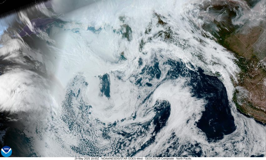
Here we are, already in the last few days of May, and it appears we are stuck in this pattern where we see a trough with a weak front and light rain, then drier and warmer with high pressure moving in. Then it repeats, with another trough and weak front, followed by another ridge. Today we had the trough and front moving across that gave us some light patchy rain. The skies cleared up behind the trough this afternoon so tonight we see mostly clear skies with calm winds, the low down around 46.
Tomorrow, we have another high pressure ridge building and that will give us a fair, dry, and warmer day with sunny skies and northerly winds 5-10, and an afternoon high of 73. Tomorrow night the ridge has been pushed eastward, and we see a few clouds moving in, with light northerly winds the low is near 49.
In comes another trough and weak low pressure area that drops down from the northwest Saturday that gives us a slight chance of some light precipitation that morning, then back to mostly sunny skies for the afternoon. We do see some breezy northwesterly winds 8-12 gusting to 20, the high near 65. Saturday night looks dry, but mostly cloudy, the winds light and variable, the low near 47.
Back to sunny skies Sunday, but with some breezy northwesterly winds, the high near 63, then a weak impulse gives us increasing clouds Sunday night, still on the breezy side, lows near 47.
By Monday we see a cut-off low pressure area down to the south, off the coast of central California as a ridge of high pressure builds into our area from the west, this slowly brings back the sunny skies that persist until the next weak system moves in the middle of next week. High temperatures remain in the mid-60s, lows in the upper 40s to near 50.
So, how is June looking? I’m glad you asked. The Climate Prediction Center’s outlook for June 5th through June 11th, that was issued yesterday, suggests we will see near normal temperatures and precipitation for that period. Welcome to June!


