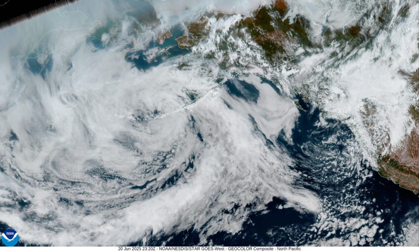
Hello Tillamook, it is looking like we are going to see some measurable precipitation moving in by tomorrow with the threat persisting through the weekend. There is a low pressure area up off the coast of British Columbia that is moving southeastward towards Vancouver Island that will spin an associated trough up across the area, bringing a threat of showers tonight, so we can expect increasing clouds with an increasing chance of showers in the early morning hours tonight, the low near 48.
We can expect to see showers tomorrow with a slight chance of afternoon and evening thunderstorms as more unstable air moves in. The winds tomorrow becoming westerly 5-10, the high near 58, the shower threat continues tomorrow with diminishing winds, the low near 47.
As for the weekend, more showers are expected Saturday with the winds becoming southwesterly 5-10, highs near 56, more showers likely Saturday night, lows near 51. The activity diminishes Sunday morning as the fair skies slowly return, the high near 65, then we see partly cloudy skies Sunday night, lows near 49.
And you ask, how much rain will we see from this? Well, with the nature of showers, your total depends on how many of these showers roll across your location. I would say you could see from around ¾” to 1 1/2” of rain over this showery period.
A ridge of high pressure brings a return to fair, dry, and mild conditions for next week with the highs in the upper 60s to near 70, overnight lows near 50.
Finally, in case you missed it, tomorrow is the official start of Summer, and the longest day of the year with just over 15 ½ hours of sunlight, which is almost 7 hours more than we will see on the shortest day of the year, on the day of the winter solace.
That’s it Tillamook, enjoy the rain and I will see yall on Monday, have a great weekend.


