By Gordon McCraw, Meteorologist for the Tillamook County Pioneer
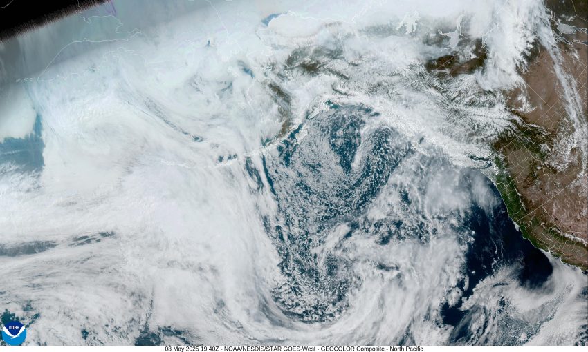
There was a weak system that moved across yesterday that did little other than to bring us some clouds and cooler temperatures with the afternoon high temperatures only in the upper 50s. Today we had another dry, mostly sunny day as a weak ridge moved across helping to push the afternoon highs into the low 60s, but tonight we can expect increasing cloudiness as the ridge is drifting to the east and a trough of low pressure is to the west which pumps some moisture towards the area, with calm winds the overnight low is around 41.
Tomorrow looks to be partly sunny with the winds becoming westerly 4-8, the high makes it to the mid 60s, then the winds die off with some clouds moving in tomorrow night, look for some patchy fog to develop after midnight, the lows in the low 40s.
We see mostly cloudy skies Saturday after that patchy morning fog burns off early, the winds becoming southwesterly 4-8 in the afternoon, highs only around 60. Saturday night we see the trough continuing to push towards the coast and this would bring more clouds and a slight chance of some showers, with light southwesterly winds, the lows in the mid 40s.
Sorry folks but it looks like we will have a good chance of some showers for Mother’s Day as that trough moves into the area with the afternoon highs in the mid to upper 50s, the shower activity continues Sunday night, the lows again in the mid 40s.
The models show the cooler, wetter weather persisting through at least the middle of next week so we can expect to see some showers Monday with the chance of showers remaining through at least Wednesday of next week, highs in the upper 50s, lows still in the mid 40s.


