")
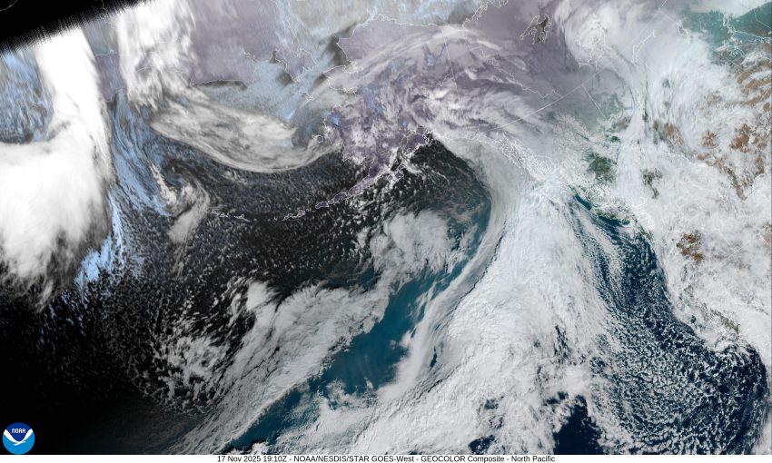

Well, an upper level low pressure area was responsible for the 1/3” of rain we had overnight. The low pressure area has since moved southward into California, leaving us with only a slight chance of a widely scattered shower, though with a weak ridge moving in tonight, that chance decreases even more. The flow is bringing in cooler air and with calm winds tonight, the low temperature drops to near 39 degrees, and there is a chance of some patchy early morning fog.
Another weak disturbance moves across tomorrow that brings us a 50/50 chance of rain again that diminishes tomorrow evening, still with some light winds, tomorrow’s high temperature is only up near 53. Another ridge quickly moves in tomorrow night, so we tend to dry out with some patchy early morning fog again, the overnight low near 38.
Wednesday starts out dry under some partly sunny skies, but in comes more clouds with the next front that pushes in some rain that evening. The winds becoming easterly 5-10, the high near 55, you can expect the rain to continue Wednesday night, the winds southeasterly 4-8, lows near 43.
Some questions arise in the models by Thursday as some show the bottom of the associated trough of low pressure pinching off and forming another low pressure area that moves into California again, similar to the most recent one. Either way, Thursday looks wet still with the high near 56, the low near 45.
Given all this, it is looking like Friday on we will continue to see rainy conditions with cool temperatures Friday, Saturday, and Sunday with highs near 56 and the lows near 46.
Lastly, a quick look at the Climate Prediction Centers Outlook, issued yesterday for the period from November 24th through the end of the month, suggest we are leaning towards having a chance of above normal precipitation and below normal temperatures through the Thanksgiving Day holiday period.