Menu
  • Home
  • Breaking News
  • Feature
    • Arts
    • Astrology
    • Business
    • Community
    • Employment
    • Event Stories
    • From the Pioneer
    • Government
    • Letters to the Editor
    • Non Profit News
    • Obituary
    • Public Safety
    • Podcast Interview Articles
    • Pioneer Pulse Podcast: Politics, Palette, and Planet – the Playlist
  • Weather
  • Guest Column
    • Perspectives
    • Don Backman Photos
    • Ardent Gourmet
    • Kitchen Maven
    • I’ve been thinking
    • Jim Heffernan
    • The Littoral Life
    • Neal Lemery
    • View From Here
    • Virginia Carrell Prowell
    • Words of Wisdom
  • Things to do
    • Calendar
    • Tillamook County Parks
    • Tillamook County Hikes
    • Whale Watching
    • Tillamook County Library
    • SOS Community Calendar
  • About
    • Contribute
    • Advertise
    • Subscribe
    • Opt-out preferences
  • Post Submission Test
  • Search...
Menu

GORDON’S WEEKLY WEATHER UPDATE 11/4/24: A couple dry days in the forecast …

Posted on November 4, 2024 by Editor

By Gordon McCraw, Meteorologist for the Tillamook County Pioneer
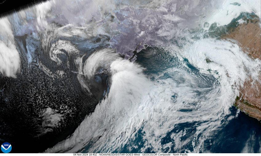
The start of another week, and in came another strong front that brought rain, winds, and high surf. The front raced through the area this morning, leaving post-frontal shower this afternoon that will persist this evening. So, we see mostly cloudy skies tonight, the showers become more scattered, the winds decreasing to westerly 5-10, tonight’s low near 44.

There was a Beach Hazard Statement though this evening for an increased Sneaker Wave threat from the higher swells of 14-16’ that were expected. I would suggest there is still a threat, it is just the threat is not as great tonight, but sneaker waves are a constant hazard at our beaches.

A strong cool northwesterly flow and a weak disturbance will keep showers in the forecast for tomorrow, winds northwesterly 5-10, the high near 56, then the showers become more widely scattered tomorrow night under mostly cloudy skies as a ridge of high pressure starts building in, calm winds, overnight lows near 40, and some late-night patchy fog possible.

With the ridge building in Wednesday we see sunny skies after any patch fog clears, light northeasterly winds, the high up near 59, but with clear skies and light winds overnight, the low drops to near 40.

Thursday also looks sunny and 60 but it looks like some disturbances will ride over the ridge starting Thursday night, which brings us a chance of rain that night with rain likely Friday, highs near 59, lows near 44.

The models show a wet weekend as well as the ridge get pushes eastward as a trough approaches from the west, so we are looking at showery and breezy conditions Saturday with rain likely on Sunday, the high down near 56, lows near 43.

Featured Video

Slide Contribute SUBSCRIBE

Tillamook Weather

Tides

Tillamook County Pioneer Podcast Series

Tillamook Church Search

Cloverdale Baptist Church
Nestucca Valley Presbyterian
Tillamook Ecumenical Service

Archives

  • Home
  • EULA Privacy Policy
  • Contact
  • Opt-out preferences
  • Search...
Share on facebook
Facebook
Share on pinterest
Pinterest
Share on twitter
Twitter
Share on linkedin
Linkedin
Catherine

Recent Posts

  • Making Waves: Western Oregonians Increasingly Support Marine Reserves

    May 31, 2025
  • ARDENT GOURMET: Don’s Favorite Foods

    May 31, 2025
  • Tillamook Coast Partners with Leave No Trace, Launches Seven Principles for Responsible Travel

    May 31, 2025
©2025 | Theme by SuperbThemes

Manage Cookie Consent
To provide the best experiences, we use technologies like cookies to store and/or access device information. Consenting to these technologies will allow us to process data such as browsing behavior or unique IDs on this site. Not consenting or withdrawing consent, may adversely affect certain features and functions.
Functional Always active
The technical storage or access is strictly necessary for the legitimate purpose of enabling the use of a specific service explicitly requested by the subscriber or user, or for the sole purpose of carrying out the transmission of a communication over an electronic communications network.
Preferences
The technical storage or access is necessary for the legitimate purpose of storing preferences that are not requested by the subscriber or user.
Statistics
The technical storage or access that is used exclusively for statistical purposes. The technical storage or access that is used exclusively for anonymous statistical purposes. Without a subpoena, voluntary compliance on the part of your Internet Service Provider, or additional records from a third party, information stored or retrieved for this purpose alone cannot usually be used to identify you.
Marketing
The technical storage or access is required to create user profiles to send advertising, or to track the user on a website or across several websites for similar marketing purposes.
Manage options Manage services Manage {vendor_count} vendors Read more about these purposes
View preferences
{title} {title} {title}