")

By Gordon McCraw, Meteorologist for the Tillamook County Pioneer
Well, last week was quite the active week, and it looks like this week will be another wet one. For now, it looks like the heavier stuff will pass to the north the first half of the week, then more to the south of our area through the end of the week. And speaking of last week, I have seen several comments on how bad the flooding was so, I thought I would give you some perspective, using the Wilson River numbers. The Wilson crested at 15.23’ on Tuesday, December the 9th and as far as historic crests for that river, it only placed 26th, meaning the river has crested higher than that 25 times over the years. The worst/highest crests in history came on November 7th, 2006 — the year I moved to Tillamook. That year it crested at 22.64’. It also crested at 20.6’ in December of 2015 and at 20.5’ in 2007. I used to joke that we were having our annual 100-year flood! Many of the old timers talk about the storm in 1996, that year the Wilson crested at 19.51’. Now what I can say is that this flood was the first significant flooding the town has seen since January of 2022 when it crested at 14.1’; then in November the year before that it crested at 14.79’. Here is where I should say that it appears that, for now anyway, we are not likely to see any flooding from the multiple systems expected this week.
So, here is where I talk about the systems for this week. We had the first in this week’s series of fronts move through this morning, giving us just under half an inch of rain. That left us with scattered showers with a slight chance of thunderstorms and some breezy southerly winds through this evening. It looks like the next system will bring in another round of rain after around midnight tonight, not as breezy, tonight’s low temperature near 50.
Tomorrow, we will see more rain until the front goes through after around lunchtime, then we transition to showers with possible thunderstorms. A low pressure center moving up into the Vancouver Island area will also cause some increasing southerly winds to reach 15-20 gusting to 30, the afternoon high temperature near 57. The rain returns tomorrow evening, the winds increasing to westerly 20-25 gusting to 45 with gusts 55 to 60 possible at the beaches. Rainfall totals for Tuesday range from ¾” to 1 ¼”.
The rain transitions to scattered showers later Wednesday morning, the winds now southwesterly 10-15 gusting to 25, the high only near 50, more showers that night, the low near 41.
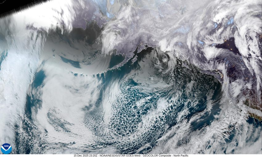
We are possibly looking at another atmospheric river developing Thursday. The current guidance suggests the greatest impact will be more into southern Oregon and will persist through Friday, though there are some mixed signals. For us, it means more rain with breezy conditions off and on, into Friday with more rain likely Saturday and Sunday as well. Daytime highs continue around 50s with the overnight lows still around 40.
As far as the flooding potential this week, the continued rain does bring an increased concern, the issue is, as always, where will that hose be pointed. For now, it looks to be more to the south. Should this change, I will push out another forecast to highlight the new numbers and concerns so, stay tuned, there may be more to follow.