Tillamook County Pioneer

News & People of Tillamook County. Every Day.

Menu
  • Home
  • Feature
    • Breaking News
    • Arts
    • Astrology
    • Business
    • Community
    • Employment
    • Event Stories
    • From the Pioneer
    • Government
    • Letters to the Editor
    • Non Profit News
    • Obituary
    • Public Safety
    • Podcast Interview Articles
    • Pioneer Pulse Podcast: Politics, Palette, and Planet – the Playlist
  • Guest Column
    • Perspectives
    • Don Backman Photos
    • Ardent Gourmet
    • Kitchen Maven
    • I’ve been thinking
    • Jim Heffernan
    • The Littoral Life
    • Neal Lemery
    • View From Here
    • Virginia Carrell Prowell
    • Words of Wisdom
    • Chuck McLaughlin – 1928 to 2025
  • Weather
  • Post Submission
  • Things to do
    • Calendar
    • Tillamook County Parks
    • Tillamook County Hikes
    • Whale Watching
    • Tillamook County Library
    • SOS Community Calendar
  • About
    • Contribute
    • Advertise
    • Subscribe
    • Opt-out preferences
  • Search...
Menu

GORDON’S WEEKLY WEATHER UPDATE 12/29/25: Mother Nature gives us a break, King Tides return

Posted on December 29, 2025 by Editor

By Gordon McCraw, Meteorologist for the Tillamook County Pioneer
Well, I hope everyone had a great Christmas, and now comes the last few days of 2025. The good news is that it looks like Mother Nature wore herself out the last few weeks and will now take a break for a few days. We can expect a ridge of high pressure to dominate the weather pattern, at least for the first half of the week anyway. The only negative side of this is we are seeing cooler nighttime temperatures with all the radiational cooling taking place. So, after a mostly sunny day today, we can expect a partly cloudy night with light offshore winds, the low down near 37.

We can see some early morning frost tomorrow morning, otherwise another sunny day with calm winds, the afternoon high temperature near 54, then another mostly clear night with calm winds, the low near 37. Now, a little meteorological lesson for the period. Cold air is heavier and denser, so it settles to the surface, and usually has an area of warmer temperatures above around 500 to 1000’ or so. This is called an inversion as the temperatures normally decrease with height, but in an inversion, it is just the opposite. This traps the low level air down close to the surface, which can lead to an Air Stagnation Advisory. So don’t be surprised if an advisory is issued soon for the region, especially over in the valley.

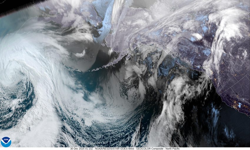
Now, Wednesday also looks mostly sunny with light winds, the high near 54, but then the models suggest we are looking at a shift in the pattern. It appears a large low pressure area in the Gulf of Alaska will have a trough of low pressure area extending southward that will push in some clouds Wednesday night, and start to give us a slight chance of rain in the early morning hours. With the warmer southwesterly flow developing, the overnight low only drops to around 40.

Thursday the water is getting a little muddy as the models are somewhat mixed, but it looks like we will have an approaching front increasing the rain chance with rain likely that evening, the high near 52, New Years Eve night is also looking rainy, the low near 43.

The forecast from Friday on through the weekend is also up for grabs as there appears to be a cutoff low pressure area developing along the coast that will be moving northward along the Oregon Coast. The trough of low pressure and that cutoff low would mean we are rainy Friday and Saturday, then transition to showers Saturday night into Sunday with highs in the low 50s and overnight lows in the low 40s.

One more, oh-by-the-way, we are slowly working our way into another King Tide period with the Garibaldi tides climbing above 9’ tomorrow morning then up to around 10’ by January 1st before peaking at above 10’ January 2nd a little before lunchtime, then slowly subside each day after that. This means there is a chance of some minor Tidal Surge Flooding in the usual spots during this period, once again.

And with that I will close my last forecast for 2025 meaning I get to say, see ya next year everyone.

Slide Slide Slide Slide Slide Slide Slide Slide Subscribe Contribute

Ads

Featured Video

Tillamook Weather

Tides

Tillamook County Pioneer Podcast Series

Tillamook Church Search

Cloverdale Baptist Church
Nestucca Valley Presbyterian
Tillamook Ecumenical Service

Archives

  • Home
  • EULA Privacy Policy
  • Contact
  • Opt-out preferences
  • Search...
Share on facebook
Facebook
Share on pinterest
Pinterest
Share on twitter
Twitter
Share on linkedin
Linkedin
Catherine

Recent Posts

  • GORDON'S WEEKLY WEATHER UPDATE 12/29/25: Mother Nature gives us a break, King Tides return

    December 29, 2025
  • United Paws’ Cats of the Week: Meet Ivy and Foxy

    December 29, 2025
  • OP/ED: A Better New Year?

    December 29, 2025
©2025 Tillamook County Pioneer | Theme by SuperbThemes

Manage Cookie Consent
To provide the best experiences, we use technologies like cookies to store and/or access device information. Consenting to these technologies will allow us to process data such as browsing behavior or unique IDs on this site. Not consenting or withdrawing consent, may adversely affect certain features and functions.
Functional Always active
The technical storage or access is strictly necessary for the legitimate purpose of enabling the use of a specific service explicitly requested by the subscriber or user, or for the sole purpose of carrying out the transmission of a communication over an electronic communications network.
Preferences
The technical storage or access is necessary for the legitimate purpose of storing preferences that are not requested by the subscriber or user.
Statistics
The technical storage or access that is used exclusively for statistical purposes. The technical storage or access that is used exclusively for anonymous statistical purposes. Without a subpoena, voluntary compliance on the part of your Internet Service Provider, or additional records from a third party, information stored or retrieved for this purpose alone cannot usually be used to identify you.
Marketing
The technical storage or access is required to create user profiles to send advertising, or to track the user on a website or across several websites for similar marketing purposes.
  • Manage options
  • Manage services
  • Manage {vendor_count} vendors
  • Read more about these purposes
View preferences
  • {title}
  • {title}
  • {title}