")

By Gordon McCraw, Meteorologist for the Tillamook County Pioneer
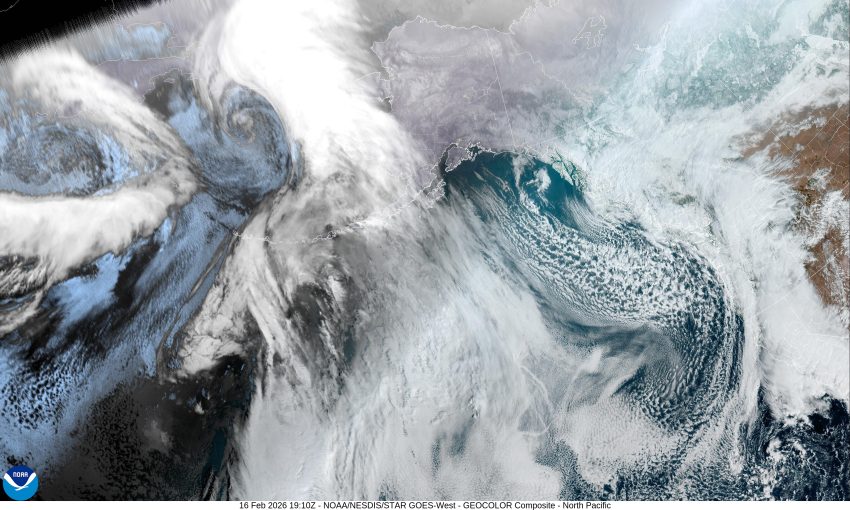
Well, it looks like winter is returning after giving us a mild period the last few weeks. Today we have a low pressure system moving south off the California coast while another low is dropping south near Vancouver Island with an associated trough and front pushing into the Oregon coast from the west. With the overnight temperatures remaining above freezing, the snow level was up around 3000’ this morning, but this is changing.
So, the cold front pushes through this afternoon and now we see the post-frontal showers, and there is a slight chance of a thunderstorm or two. The winds remain light tonight with the low dipping to near 32 in the early morning hours. This means that seeing some snow flurries is not out of the question after around midnight, but would likely melt shortly after hitting the ground. It also means that Hwy 6 and 26 could see some accumulating snow above 500’, especially in the heavier showers. These heavier showers could also bring some small hail below 500’.
Tomorrow morning, with the low temperature being near, or at freezing, the showers could bring periods of snow, or a rain/snow mix, that could make the roads slick for a brief period. This also means that travel across Hwy 6 and 26 will be more hazardous as they are looking at around 1 to 3” of snow in the overnight hours. Back down to Tillamook for tomorrow, it is possible that some areas could see about ½” of snow on the ground to start, depending on if you get hit with the heavier showers, along with the periods of hail. The temperature climbs by midmorning tomorrow, and this means the precipitation turns to all rain through the afternoon, the high up near 46. The chance of a rain/snow mix increases again after midnight tomorrow as the temperature drops down close to freezing again, then the chance of snow in the showers increases in the early morning hours Wednesday with the overnight low dropping to around 30, so there will again be periods of snow and hail possible in the shower as they move through though it looks like the shower activity will be more scattered.
Wednesday and Thursday the forecast gets a little more interesting with that low pressure area dropping south near the Oregon coast. Here is where the “ifs” come in. If we see enough modified Arctic air getting pushed in, and if the low pressure area wraps this cold air into the area, and if there is sufficient moisture, then the snow probabilities increase. For now though, we go with cloudy and rainy, with a rain/snow mix in the early morning hours Wednesday and Thursday, with afternoon highs in the mis 40s and early morning lows at or just below 30. This also means that the passes are looking at additional snow accumulation with the high temperature in the passes only in the mid to upper 30 and overnight lows up there in the mid to upper 20.
It looks like a trough of low pressure will keep the chance of rain in the forecast for Friday on through the weekend, though it will likely just be the usual light rain with the temperatures moderating a little, with the highs climbing back into the 50s and the lows in the mid to upper 30s. The snow level will be climbing some also, to above 2000’ Friday and above 2500’ for the weekend.
As you might guess, the National Weather Service has issued a Winter Weather Advisory for the North Oregon Coast Range that is in effect now through 4am Friday. Here at the coast the Sneaker Wave concern is still elevated with a Beach Hazard Statement valid through tomorrow evening.
And finally, just to add a little more excitement to the winter season, the Climate Prediction Center is now suggesting Oregon has a Moderate Risk of Heavy Rain, Heavy Cascade Snow, and High Winds at the coast between Feb 23rd and March 1st. It is way too early to know the particulars, so for now, it’s just something to watch out for in future forecasts.