By Gordon McCraw, Meteorologist for the Tillamook County Pioneer
I have a lot to talk about today, in this first forecast in February, so I’ll get right to it. First, look at January. The warmest day in January was this past Saturday, when it hit 68 degrees. The coldest day was the previous Sunday, when it bottomed out at 22.5 degrees, or officially, 23. In January, which is traditionally the wettest month, we had 8.99” of rain, of which 2.1” of it fell on January 6th. The average by the way, is 13.38” so we were a little under for the month. I got these numbers from a station in the North Main area of Tillamook so your station numbers may be a little different.
Now let’s talk forecasts. You do know what day it is, right? This was the day that the most famous forecaster in the world, Punxsutawney Phil, stepped out of his barrow and made a forecast for the next 6 weeks. Today’s Ground Hog day forecast was based on the fact that he did see his shadow, which led him to a forecast of continued cold and snowy, at least in the eastern US, for 6 more weeks. This was his 140th forecast, but unfortunately, his forecasting numbers aren’t that good, having been right only 40% of the time.
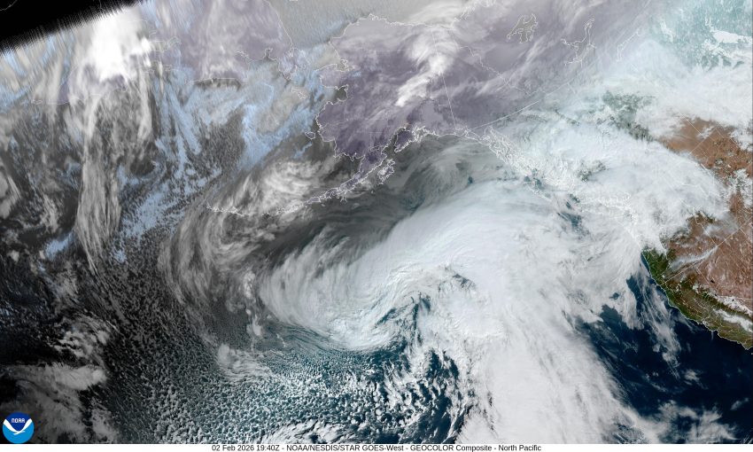
Now we will move to the west coast and my forecast, which I hope is a little more accurate than Phil’s. We had a warm front lift northward across the area yesterday that left some spotty rain today, mainly to our north. Now, with a high pressure ridge starting to building in, we can expect partly cloudy skies tonight, and with the calm winds, some patchy morning fog is possible with the overnight low temperature around 44.
The ridge will continue to build in over the area tomorrow, giving us partly sunny skies with calm winds, the high up near 65, then cloudy skies tomorrow night with some low stratus clouds, calm winds still, the low near 46.
Look for the sunny skies to return Wednesday afternoon, thanks to the persistent high pressure ridge that gives us sunny skies again Thursday, high temperatures stay in the mid 60s with overnight lows in the low to mid 40s.
Friday, on into the weekend, the models start to get mixed, some say the ridge will hang on along with the fair, dry and mild conditions, while the other bring back the rain. I’ll go with the majority and say we see a slight chance of rain starting Friday night with some rain likely by Saturday that persists into Sunday, highs dropping into the upper 50s with the low still in the mid 40s.
That’s it for this one, this is meteorologist Gordon McCraw saying I hope you all have a great week.


