")

By Gordon McCraw, Meteorologist for the Tillamook County Pioneer
Well Tillamook, that was some rain we had last week. We got nearly 5 ¼” rain from Thursday through Saturday of which 4 ¾” of it fell on Friday and Saturday. This did cause several rivers to reach flood stage. The Nehalem River reached a couple hundreds of an inch above flood stage while the Wilson crested at Minor Flood Stage a couple of times, once early Thursday morning then again early Saturday morning. This did impact the North Main area, causing some lane closures.
Now today we did get some patchy light rain from another atmospheric river that pushed the heavier rain mainly into Washington northward. Today we have a ridge of high pressure building in but look for some moisture to ride over the ridge, bringing a chance of rain tonight. Look for light southerly winds tonight with a chance of some light rain, the low near 46.
The ridge shifts eastward tomorrow, Tuesday, allowing the atmospheric river to the north to drop southward, increasing the rain chance once again that could bring another ¼” to ½” of rain to the area through tomorrow night. The winds remain light from the south, highs tomorrow near 59, lows near 47.
It looks like we will continue to see some rain on Wednesday with little change on Thursday as that ridge continues to sit to the east which keeps us under a moist, and warmer, southwesterly flow so look for some more rain, the high near 60, overnight lows near 48.
For the first day of spring on Friday, some more rain is likely and that chance remains for Saturday and Sunday as that ridge starts to weaken, with highs hanging in the mid 50s and overnight lows dropping into the 30s again over the weekend.
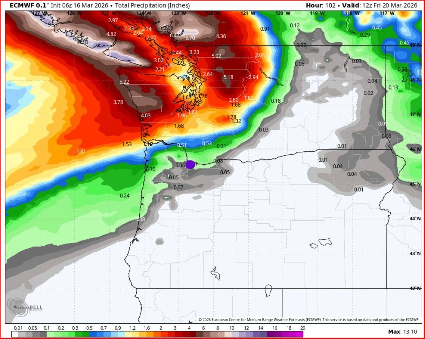
As far as any flooding, good news, the chance is less than 10% for the week.
And that’s it for this week, welcome to Spring everyone.