")

By Gordon McCraw, Meteorologist for the Tillamook County Pioneer
It’s looking like we are in store for another wet week with some breezy conditions expected midweek. There is a slight chance of seeing some snow in the early morning hours with some possible accumulating snow in the Coast Range passes.
So, we saw some post-frontal showers today that will ease some tonight as the temperatures and snow levels drop. There is a chance that in the early morning hours, with the temperature down close to freezing, we could see a rain/snow mix here, but it is not likely to stick as the road temperatures are still on the warmer side. However, areas in the Coast Range, above around 1000 to 1500’, could see up to 2” of snow including in the passes, depending on the location of the scattered shower when it pushes across. Even this snow is likely to melt between those snow showers, which tend to temporarily lower the temperatures and snow levels.
So tomorrow, Tuesday, starts out with a possible rain/snow mix in any remaining showers, that will turn to all rain later in the morning, the winds becoming southwesterly 5-10, the high near 48. Still some showers around tomorrow night, light southwesterly winds, the low near 40.
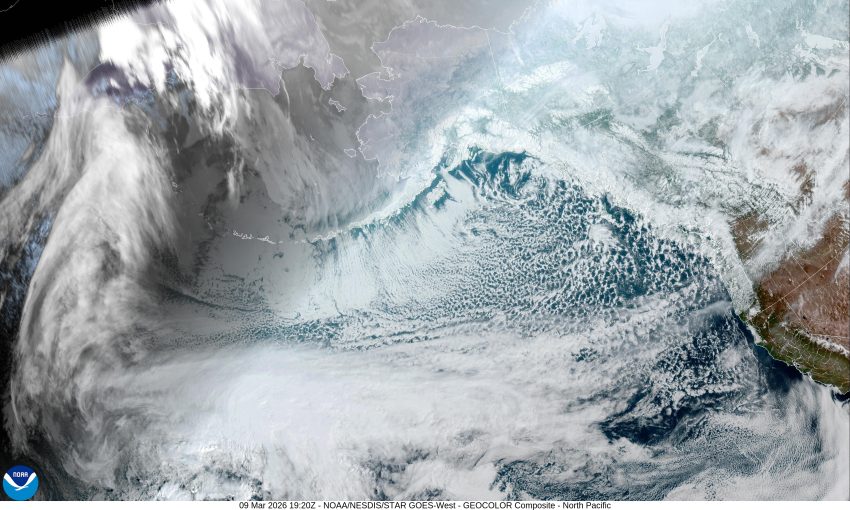
Wednesday we are looking at a west to east flow pushing in yet another atmospheric river event that will bring back the rain and some southwesterly winds 15-25 gusting to 35 with higher gusts at the beaches of 40-45. The high temperature Wednesday is back up to near 54, still rainy and breezy Wednesday night, the low near 48.
The system will be slow to push southward so Thursday also looks rainy, maybe not as breezy, the high near 52, the low near 48.
The models suggest we are stuck in that zonal flow Friday, Saturday, and possible into Sunday so we are looking at the rainy conditions to persist through the weekend with highs in the low 50s and lows in the low 40s.
The models are getting a little mixed on Sunday with some saying a ridge will make us warmer and drier while some of the others keep the flat weather pattern meaning we stay cooler and wet Sunday into Monday.
As far as any flooding concerns, all this rain will increase the flow rates by Thursday and Friday, and push the rivers up several feet, but none are forecasted to reach near Action Stage. We’ll keep an eye on it …
Be sure to check www.tripcheck.com if you have plans to travel over the Coast Range the next couple days, or if you plan to travel over the Cascades. Just a reminder that we are still in Winter.