

By Gordon McCraw, Meteorologist for the Tillamook County Pioneer
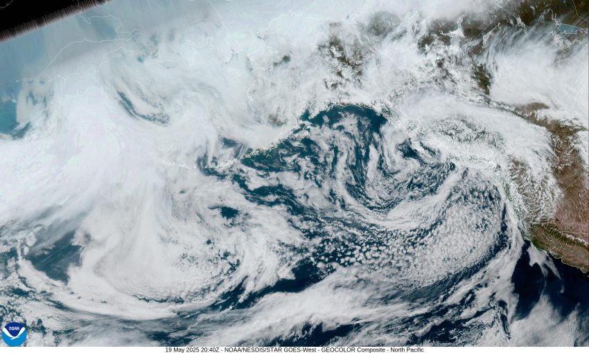
This morning, we had a low pressure area drifting towards the British Columbia coast, just north of Vancouver Island, with an associated front extending to the south that moved across the area bringing in cooler temperatures and another round of rain. The front moved rapidly across followed by a trough of low pressure that ushered in some unstable air with cooler temperatures that is causing more rainshowers across our area. The winds will diminish tonight with the low temperature down near 45.
The shower activity continues tomorrow morning, then diminishes as the trough continues to the east in the afternoon as a more zonal flow is seen over the eastern Pacific. The winds tomorrow becoming westerly 5-10 with an afternoon high near 58. Next, we see a ridge of high pressure moving in bringing us mostly cloudy, but dry, skies tomorrow night with calm winds, the low near 42.
That ridge continues to build in over the area on Wednesday, so we see partly sunny skies, the afternoon high now up near 62, but another weak system brings in a slight chance of showers again Wednesday night, overnight lows near 44.
Thursday the disturbance is moving inland so the slight shower chance diminishes by the afternoon, high temperatures near 61, and with mostly cloudy skies Thursday night, lows near 44.
The models are getting mixed by Friday, some build the ridge back in, while the others put us in a zonal flow again, which provides a road for disturbances to ride across and give us a chance of showers, off and on, through the weekend, daytime highs in the low 60s, overnight lows in the mid 40s.