")

By Gordon McCraw, Meteorologist for the Tillamook County Pioneer
It’s here already folks, we’re on the last day of June. Looking back at some of the June numbers from Tillamook Airport, the warmest day so far was yesterday when we hit 73, though today’s high is expected to top that. The coldest morning was on June 15th when we dropped down to 37 degrees. As far as the rain goes, the airport reported 0.62” of rain, which is below the June average.
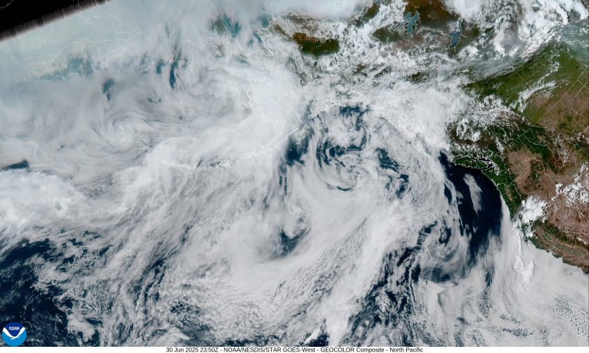
With the high pressure ridge still building over the area today, we saw the marine layer burn back this morning leaving sunny skies for the afternoon with breezy northwesterly winds, and the high into the mid 70s. The clouds will return tonight as the winds diminish, the low temperatures down to around 54.
Tomorrow looks to be another sunny and breezy day with northwesterly afternoon winds 8-12 gusting to 20, and with the weakening ridge, the high temperature is only up near 69. Partly cloudy skies with, diminishing winds tomorrow night, lows near 50.
The ridge continues to weaken and shifts eastward Wednesday, so we see a mostly sunny day with highs near 67, another partly cloudy night, lows again near 50.
The forecast for Thursday, on through the end of the week, looks to continue the fair, dry, and mild days with the highs up near 68 each day under mostly sunny skies, and with partly cloudy nights, the lows stay around 50, so the 4th of July holiday weekend is looking pretty good!
And speaking of July, the average high for July is 68, the average low around 50, so the forecast fits right in, the average July rainfall is around 1.38”. A quick look at the Climate Prediction Center’s Long-Range Forecast for July 7th through the 13th, that was issued yesterday, suggests we will see near normal precipitation probabilities with a 40-50% chance of being warmer than average. Yep, it must be summer!
That’s it for this week, I hope everyone has a fun and safe weekend, see ya next week yall.