")

By Gordon McCraw, Meteorologist for the Tillamook County Pioneer
If you like yesterday’s weather, then you’re gonna enjoy today and tomorrow as well. We have a high pressure ridge continuing to build over the region. The only negative thing I can find is the fact that, with the radiational cooling last night, the temperature dropped down to 39 degrees early this morning, chilly! With some easterly winds though, the temperatures this afternoon climbed up into the mid 70s. With clear skies and light winds tonight, the low only drops to around 43.
Tomorrow will be another fairly nice day, though the ridge is getting pushed eastward some, and the winds start to turn back to onshore. This leaves us with sunny skies with northwesterly winds 4-8, the high only climbs up to near 70. Tomorrow night we will see partly cloudy skies, diminishing winds, the low down near 46.
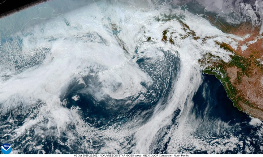
By Wednesday, we start to see a pattern shift as a trough of low pressure deepens up off the British Columbia coast, and we likely see a low pressure area developing off Vancouver Island in the trough to our north and northwest. This starts to push in some clouds with a slight chance of rain, and between the onshore flow and the cloudiness, things start to cool back down with the afternoon high temperature only up around 60. With mostly cloudy skies Wednesday night, still with about a 30% chance of rain, the low is around 45 degrees.
It looks like that low will be spinning west of Washington by Thursday and typically we see some bands of rain rotating around the low which gives us more clouds with an increasing chance of some rain by the afternoon, highs near 63, lows near 47.
The rain is likely by Friday with that low pressure area west of the Oregon Coast with more rain Friday night into Saturday, the high temperature only making it to near 58 by Saturday, then with more rain likely Sunday, the afternoon high only makes it to near 56 degrees, the overnight lows down near 45.
Now, a caveat to the weekend weather is, these low pressure areas lack strong steering currents so they just kinda drift out on their own. This messes with the forecast models sometimes and this is no exception. Some of the models push the low down quicker and east of the Cascades, making rain Sunday less likely, the others say the trough will linger and so would the rain though Sunday. Either way we are likely looking at three quarters to one inch of rain for the entire event.
The only other thing of interest is, tonightMonday October 6th, we have the first Supermoon of 2025, officially at 8:48pm tonight. This one is also commonly referred to as the Harvest Moon. Why is it called a Supermoon? Well, it is because the moon’s orbit brings the moon closest to earth, making it appear bigger and brighter. It will be most noticeable when it first begins to rise because of the way light bends in the atmosphere on the horizon. It may also appear more orange. Next, why a Harvest Moon, this is because, back in the old days, before artificial lighting, the farmers would work the crops using the light of the moon instead.
So, I hope you enjoy the Harvest Supermoon tonight and hopefully, things don’t get too weird tonight. I’ll see ya next week.