")
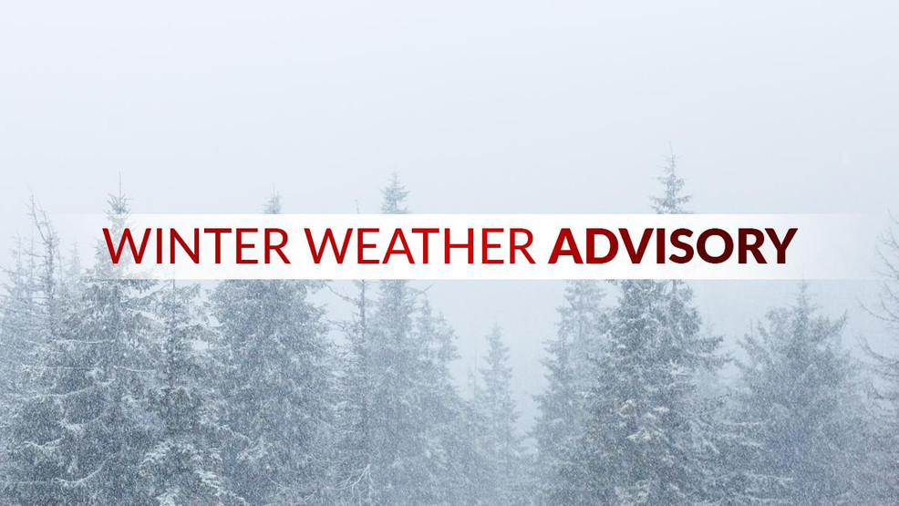

…ACCUMULATING SNOW IS EXPECTED TO CONTINUE THROUGH AT LEAST THURSDAY MORNING IN THE COAST RANGE, CASCADES, CASCADE FOOTHILLS, AND ELEVATIONS ABOVE 500 TO 1000 FEET WITHIN THE PORTLAND METRO AND WILLAMETTE VALLEY…
* WHAT…Snow. Additional snow accumulations of 1 to 6 inches, with the lowest amounts between 500-1000 feet in elevation and the highest amounts above 1000-1500 feet in elevation.
* WHERE…Foothills of the Northern and Central Oregon Cascades, North and Central Coast Range Mountains of Oregon, North Oregon Coast Range Lowlands, Portland West Hills and Chehalem Mountain, Willapa Hills, and South Washington Cascade Foothills.
* WHEN…Until noon PST Thursday.
* IMPACTS…Roads, and especially bridges and overpasses, will likely become slick and hazardous.
* ADDITIONAL DETAILS…A renewed band of snow showers is expected to move over the Coast Range between 6pm PST Wednesday and 12am PST Thursday. Some of these showers may be heavy.
* AFFECTED AREAS: NORTH OREGON COAST RANGE LOWLANDS … NORTH OREGON COAST RANGE … CENTRAL OREGON COAST RANGE … WEST HILLS AND CHEHALEM MOUNTAINS … CLACKAMAS COUNTY CASCADE FOOTHILLS … CASCADE FOOTHILLS OF MARION AND LINN COUNTIES … LANE COUNTY CASCADE FOOTHILLS … WILLAPA HILLS … SOUTH WASHINGTON CASCADE FOOTHILLS
Instructions:
Have a winter emergency driving kit readily available. Common items to include: flashlight, batteries, blankets, a shovel, water, non-perishable food items, tire chains, etc. Be aware that walking surfaces may be slick. Walk with extra care. For the latest road conditions and chain restrictions in Oregon, call 5 1 1, or visit: www.tripcheck.com. For the latest road conditions and chain restrictions in Washington, visit: wsdot.com/travel/real-time/map