By Gordon McCraw, Tillamook County Emergency Manager
Friday, December 10, 2021, 10:45am
Weather
A Gale Warning over the coastal waters, High Wind Warning over the coastal areas from tonight (Friday December 10th) thru tomorrow morning, a Wind Advisory for the valley areas during the same period, and a Winter Storm Warning for the Cascades thru tomorrow morning, and there is already some snow with patchy ice across the coastal passes. Sounds like a good time to stay inside this weekend.
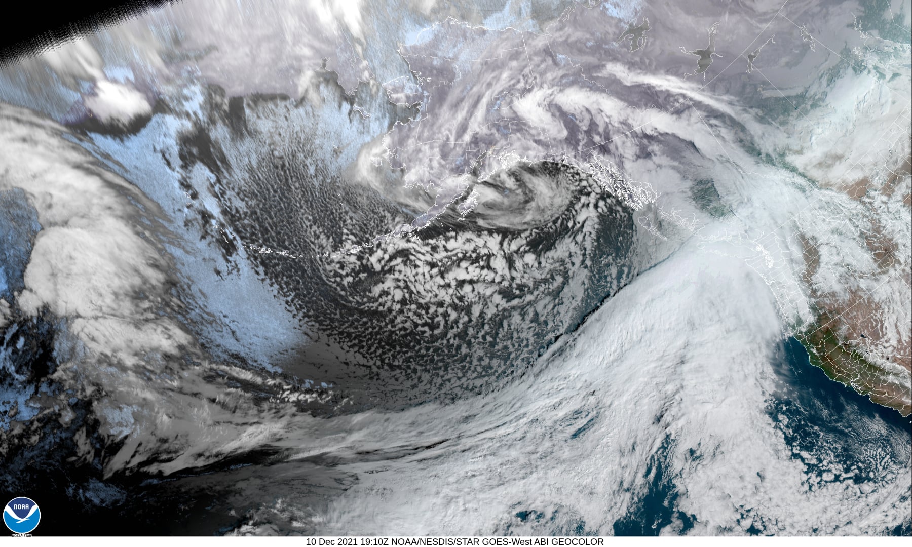
What is happening is we have a strong front approaching the area and the parent low pressure currently up near Alaska is pumping colder air down behind the front. Today we will see a few more showers from the moist westerly flow, with southwesterly winds 5-10 this afternoon, the high will be around 50.
The real active weather comes in tonight with a strong cold front bringing strong Warning Level winds and moderate, occasionally heavy rain. There is a High Wind Warning in effect from 10PM tonight thru 10AM Saturday for southwesterly winds at the beaches 35-45 gusting to 70. Winds of this strength could cause some down trees that could also cause some power outages. In town the winds will be increasing to 15-20 gusting to 35-40, the low tonight near 43. The snow level will climb, for now anyway, to up near 2500’.
UPDATE – Saturday, December 11th – 10 am
Looking at the reading around Tillamook I see winds still 20-25 gusting to 35-45 at the airport, Astoria 15-20 gusting to 30-40, Pacific City gusts to 49, Oceanside 40, up on Mt. Hebo they recently had a gust to 75. I also noted that the temperature up there was 40 degrees so the snow level is way above that. As far as rain I see reading of 2-2.5″ in and around Tillamook, up in the Coast Range a little over 3″. Looking at the radar it appears Tillamook is on the back edge of the moderate rain so conditions will start to improve some. The rain continues southeastward out of the Coast Range Tillamook County River Basins so the rivers should be cresting in the next few hours, below Action Stage, close to their forecasts.
More rain Saturday Dec. 11th, winds becoming southwesterly 10-15 gusting to 30, the high starts to fall in the afternoon to near 45. The front pushes thru tomorrow night then we see showers with possible thunderstorms in the unstable air behind the front, winds westerly 5-10, the low drops to near 38, the snow level drops to near 1800’ so in the heavier showers, the Coast Range could see snow over the top of the passes into Sunday morning again.
Sunday the scattered showers activity continues though it becomes more scattered that night, still with that chance of thunderstorms, southerly winds 5-10, gusty in and near the heavy showers, highs near 46, lows near 36. The snow level around 2000’.
As for next week, an upper level trough of low pressure sets up over the area which causes the cooler and wetter weather to remain in the forecast thru midweek. The snow levels that far out are harder to nail down, but we could see periods where the level drops down to or below the pass levels, especially at night and in the early morning hours, to as low as 1000’ with a slight chance that it could be even lower. Know before you go, look at www.tripcheck.com
Almost forgot to mention, forecasted rainfall totals for this system has trended up a little, maybe 2-3” locally, maybe near 4” in the Coast Range from tonight thru tomorrow. This has pushed the river crest forecasts up another foot or so for Saturday afternoon. The current forecast levels still keeps them 2’ or more below even Action Stage but I would still keep an eye out for any forecast changes that may slow the front down more and thus increase the rainfall totals.