


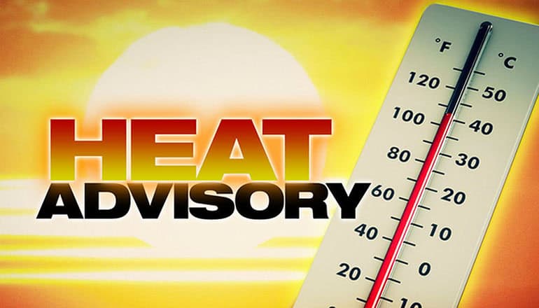
* WHAT…Afternoon high temperatures of 95 to 100 degrees and morning low temperatures of 60 to 65 degrees expected.
* WHERE…Portions of northwest and west central Oregon and southwest Washington.
* WHEN…From noon Tuesday to 11 PM PDT Wednesday.
* IMPACTS…Hot temperatures may cause heat illnesses.
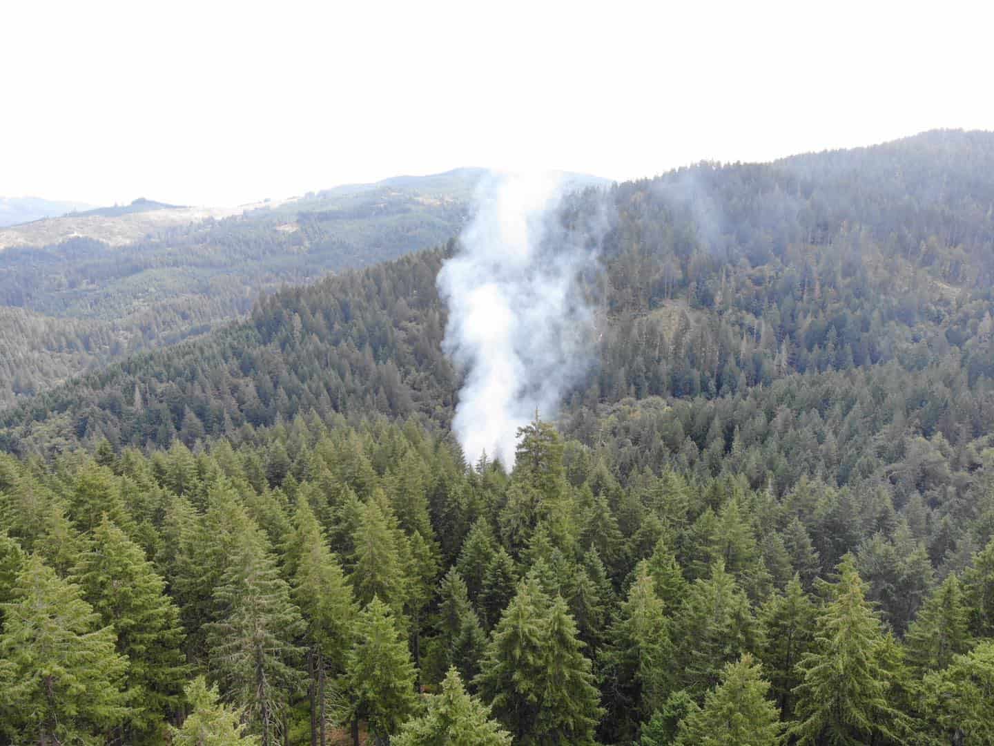
* ADDITIONAL DETAILS…Wildfire smoke is expected to increase west of the Cascades early in the week, which may limit high temperatures by approximately 1-3 degrees. However, temperatures will still be hot enough to bring an increased risk of heat-related illnesses even if temperatures are dampened a few degrees from smoke.
* AFFECTED AREAS: NORTH OREGON COAST RANGE LOWLANDS … CENTRAL OREGON COAST RANGE LOWLANDS … LOWER COLUMBIA RIVER … TUALATIN VALLEY … WEST HILLS AND CHEHALEM MOUNTAINS … INNER PORTLAND METRO … EAST PORTLAND METRO … OUTER SOUTHEAST PORTLAND METRO … WEST CENTRAL WILLAMETTE VALLEY … EAST CENTRAL WILLAMETTE VALLEY … BENTON COUNTY LOWLANDS … LINN COUNTY LOWLANDS … LANE COUNTY LOWLANDS … COWLITZ COUNTY LOWLANDS … NORTH CLARK COUNTY LOWLANDS … INNER VANCOUVER METRO … EAST CLARK COUNTY LOWLANDS … SOUTH WASHINGTON CASCADE FOOTHILLS
Instructions:
Drink plenty of fluids, stay in an air-conditioned room, stay out of the sun, and check up on relatives and neighbors.
Severity: Moderate – Possible threat to life or property
Urgency: Expected – Responsive action SHOULD be taken soon (within next hour)
Certainty: Likely (p > ~50%)
Category: MET: Meteorological (inc. flood)
Event Description: Heat Advisory
