




By Gordon McCraw, Meteorologist for the Tillamook County Pioneer
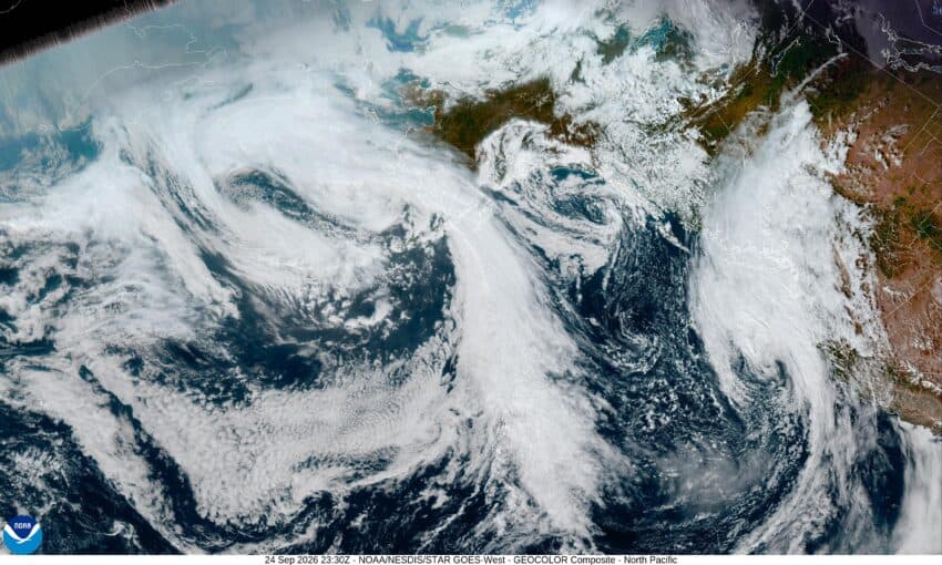
The first day of fall was Tuesday and now it appears Mother Nature wants to make it official. Today, we have a developing fall low pressure system moving in that will bring some soaking rain, gusty winds, and cooler temperatures into the area. As I write this at noon on Thursday, it looks like we have an increasing chance of rain starting this afternoon with rain likely by around 4pm today as the low pushes a front through. The winds will initially be southerly 5-10 later this afternoon, then later tonight increasing to 14-18 gusting to 30. As is usually the case, down at the beaches, tonight they are looking at southerly winds 20-25 gusting to 45. Yes, for the mariners, there is a Gale Warning in effect from 11pm tonight through 2pm Friday with seas increasing to 15-19’. This could also cause a Coastal Advisory for the high surf and the increased sneaker wave threat. As far as how much rain we can expect tonight, maybe between ¼ to ½”. Tonight, after the front pushes through, we are looking at showers that will persist into Friday. The low temperature tonight near 54.
We expect the shower activity will become more frequent tomorrow with some heavier showers possible as the air becomes more unstable, which means there is a slight chance of a thunderstorm or two also. The National Weather Service points out that given the possible low level shear this type system produces, they cannot rule out seeing a cold-core funnel cloud associated with a heavy rainshower or thunderstorm Friday. In addition to all this, the winds tomorrow are expected to be southerly 15-20, gusting to 30-35 with gust to 45 at the beaches and headlands. When you combine the movement of the stronger showers with the downburst outflow associated with the shower, there is a slight chance of seeing isolated gusts to 45-50 inland also. The high temperature tomorrow around 60. The activity eases later tomorrow afternoon then diminishes tomorrow night as the trough and low moves out of Oregon, the winds ease by sunset, the total rainfall tomorrow between ½ to 1”, dependent on how many showers move across your location.
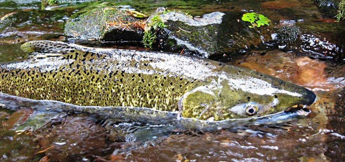
So, know that with these winds, this early in the season, with the trees still with most of their leaves, it is possible to see a limb or two break off, which means some power outages are also possible. The rivers are all pretty low, so this rain will only make the fishermen happy, but flooding is not an issue unless the leaves block the drainage causing localized street flooding.
After all that fun on Friday, the weekend is looking partly to mostly sunny with highs in the low 60s, nighttime lows in the mid 40s.
The models say we see another trough for the start of next week that gives us a chance of rain by Tuesday, then a ridge of high pressure gives us fair, dry, and somewhat cooler temperatures for the middle of the week.
And there you have it folks. Stay safe and I’ll be back Monday unless something changes!
