










By Gordon McCraw, Meteorologist for the Tillamook County Pioneer
Well Tillamook, here we are in the first week of November already. First, let’s take a look at October. The warmest day in Tillamook last month was on October 15th when it got up to around 84, the coldest day was on the 24th when the temperature dropped down to near 32. We had a dry month, getting only about 4.06” of rain when the average for October is 6.93”.
But now we are into November and the numbers for this month, the high temperatures average 56, and the lows near 40. As far as rain, it averages 13.84” but with this year’s strong El Nino, we could fall short in November also.
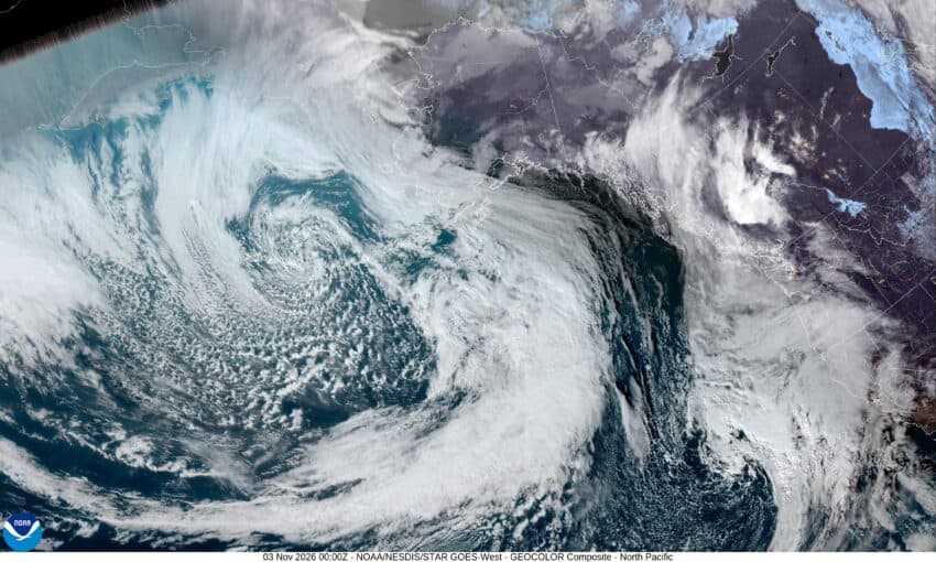
So, what can we expect this week? Well, currently we have a ridge of high pressure over the area, but it is getting pushed to the east by a deep trough currently inching eastward off the coast. Tonight we can expect the cloudy skies to continue with some calm winds, the low drops to near 43.
Tomorrow, we start out cloudy again, but with the weakening trough of low pressure moving in we should see the low clouds breaking up by the afternoon with the temperature climbing up near 61. Look for partly cloudy skies tomorrow night, still some calm winds, the lows back down near 37.
It looks like we have a front moving in on Wednesday, so after a frosty start we see cloudy skies with an increasing chance of rain in the afternoon with rain likely a little before sunset, with southerly winds 4-8, the high near 60. Still rainy Wednesday night that eases a little before midnight as a weak ridge moves across, with calm winds the low around 47.
Thursday it looks like we have a zonal, or west to east flow that will have several disturbances riding across in the flow, so with a slight chance of rain during the day Thursday, more rain is likely by Thursday night into Friday, highs near 59, lows near 44.
The models suggest a break in the rain Saturday with a ridge of high pressure over the area, the high near 63, lows near 46, then in comes another disturbance that brings a chance of rain and breezy conditions Saturday night and Sunday, highs near 60, lows near 42.
The total rainfall numbers from all this rain is somewhat mixed in the models but it appears we are only looking at an inch or so from Wednesday on through the weekend.
I’m keeping an eye on next week as some forecasts have the possibilities of a strong – read atmospheric river – event on the horizon.
Stay tuned!
