By Gordon McCraw, Meteorologist for the Tillamook County Pioneer
Say goodbye to the sunny skies after today as the rain returns and there is even a chance of seeing some low level snow into next week with accumulating snow across the Coast Range. The blocking high pressure ridge is getting pushed off to the east by a low pressure system moving eastward in the eastern Pacific. It will bring a chance of rain this afternoon with rain likely tonight. We will also see some breezy conditions developing with southerly winds 10-15 gusting to 35 starting tonight, and with the southerly winds, overnight low temperature remain around 47. We will continue to see the rain and wind tomorrow, the high near 52, lows near 35 with this weak atmospheric river event. The rivers do see an uptick in flow rates, but river flooding concerns are very low.
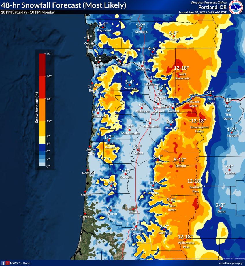
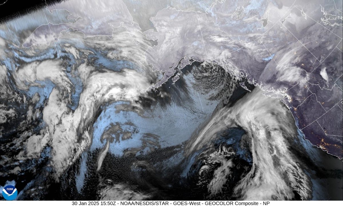 Now, this weekend we will also be watching a colder Alaskan low pressure system that dropped southward over British Columbia, that should be over the Vancouver Island area by the weekend. It is expected that this low pressure area will slow and finally stall by the beginning of next week. This low will be responsible for lowering snow levels this weekend and will likely bring some snow across the Coast Range passes and may even drop a rain/snow mix over in the valley and maybe even into Tillamook, depending on which model verifies. The local temperatures over the weekend include highs near 43 and lows near 30.
If the low does stall, as some of the models show, we will continue to see some precipitation through at least the first half of next week with highs near 41, overnight lows around the mid 20s. With lows temperatures that low, we obviously have a chance of low level snow each night and into the early morning hours, and it would also mean measurable snow across the Coast Range Passes making for hazardous travel at times.
Now the fun part of forecasting, let me cover what the model differences are. There are differences in rain timing and amounts, and also in the temperatures and snow levels. There are also some questions about the low’s exact location, strength, and duration. My recommendation is to monitor the changes in the forecasts between now and the beginning of next week as the models, hopefully, begin to come into better agreement. The question of snow requires all the right elements coming into line at the right times. It does look like most of the elements will be there, but exactly where, and when, we’ll have to wait and see. The bottom line, if you have travel plans into the valley over the weekend, and especially for next week, you will definitely want to keep an eye on the forecast, and on www.tripcheck.com.