




 By Gordon McCraw, Meteorologist for the Tillamook County Pioneer
Well Tillamook, another late week update must mean more active weather is on the way. First, if you thought it was chilly this morning, you were right, the temperature dropped down to 34. After a relatively quiet day today, tonight will again be partly cloudy, which will allow the temperatures to drop back down to near 33 tonight, which will happen to be the dewpoint, and with calm winds, we likely see some patchy early morning fog once again tomorrow.
Now, we are also coming into a period of astronomical high tides, also know as King Tides. While the highest ones are over the period of Sunday, November 22 through Friday the 26th, the issue is all these Pacific Storms have caused some higher seas that are causing positive anomalies of between 1’ to 1 ½’ to the forecasted tidal levels. This means we could see some minor tidal overflow flooding a day or two sooner, and continue a day or two after the above dates. So, many of the usual locations in Nehalem, Tillamook and Pacific City, that are routinely impacted by this, will likely see Tidal Overflow Flooding over this period that peaks on Wednesday the 25th.
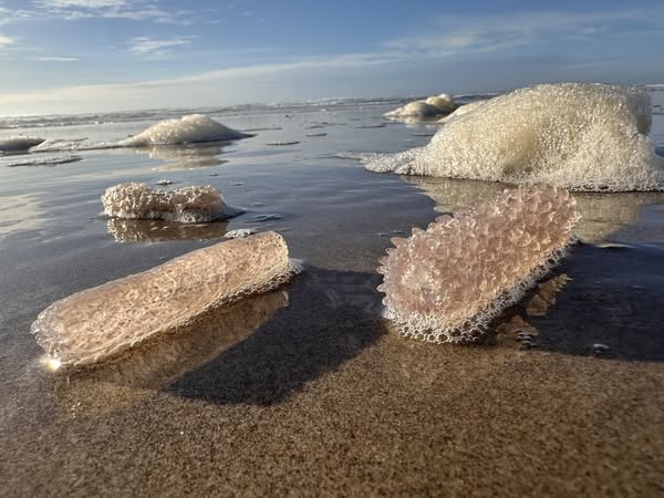
These higher tides, combining with the higher waves from the strong offshore winds, will also cause dangerous surf conditions, including an elevated risk of sneaker waves that can move logs and other heavy debris on the beaches that can, and have knocked individuals off and pin them under these objects. They can also sweep you off your feet and pull you out into the ocean, especially during high tide when the runup is further up the beach. The jetty rocks will also be dangerous during these periods. So, the bottom line, use extreme caution at the beaches the next couple of weeks.
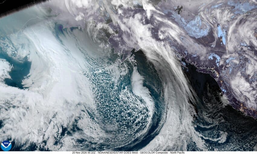
And what about the weather your ask? Well, tomorrow is another cool, dry day with the highs near 54, the lows near 36. Then Saturday and Sunday turn wet and breezy with another cold front moving in making rain likely, highs near 51, lows near 36.
As for next week, besides the Tidal Overflow issue, we likely see another trough of low pressure bringing in more rain and winds later Monday with rain Tuesday and Wednesday as well. The strength, location and timing of this is still a little uncertain with mixed signals from the models, but it does look wet and a little breezy for at least the first half of next week.
At this point, river flooding concerns remains low through the middle of next week.
