


By Gordon McCraw, Meteorologist for the Tillamook County Pioneer
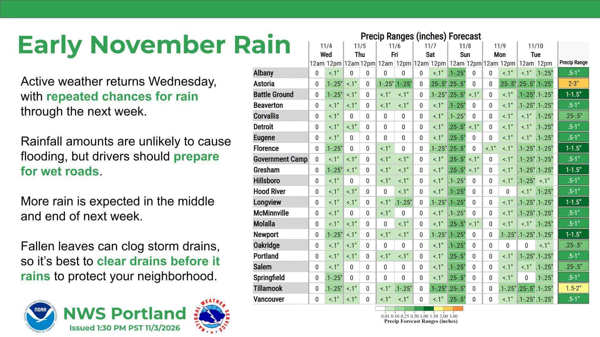
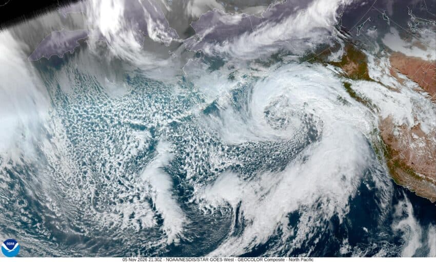
Well Tillamook, it is starting to look like the area is in for an active and wet period, with the potential for some severe weather next week. With the current system, it looks like we have had around ½” of rain.
We have a short break then another system brings in more rain tomorrow, Friday evening with the higher rainfall totals likely occurring to the north, into Clatsop County northward. We see another break before the next front pushes in another round of rain Saturday night that likely brings some moderate rain. The good news is this system will not be lingering to long. I should mention that both of these systems will bring breezy southerly winds of 8-12 gusting to 20-25 with gusts to 30-40 possible down at the beaches with higher gusts possible along the beaches to the north. There is a slight chance that the winds could be gusting to 60 in some isolated areas.
So, the chance of rain continues to ease Sunday morning, but yep, you guessed it, we can expect another system to bring an increasing chance of rain Monday afternoon with rain and breezy conditions likely Monday night.
Now comes the hard part. The long-range models continue to show another atmospheric river developing the middle of next week that could be significant. The issues are:
1. It is still pretty far out and thus the forecast can, and will change.
2. Still not sure exactly where will be under the hose.
3. Still not sure how strong the system will be.
4. And, not sure how much moisture it will carry.
So, at this point, we are in the wait and see mode, but should be preparing in case it does develop into something significant. It is still early but we should also watch the river forecasts to see what their tendencies are. Does the forecast increase the levels over time, decrease, or leave the same? Again, this far out, it is something to watch.
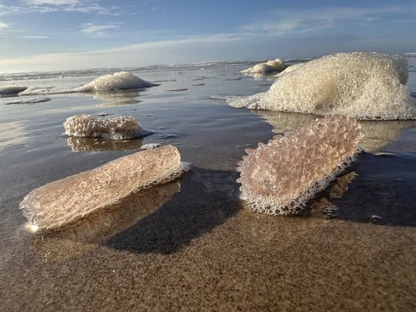
For the mariners, there are lots of Advisories, Watches and Warnings out already due to increasing sea heights, with there being a chance of 20’ seas by Sunday. In addition, there would likely be high surf conditions due to the higher waves on Sunday. This would also mean Sneaker Wave concerns would be more elevated. Here are the ones out as I write this.
-Small Craft Advisory from 7 AM this morning to 7 AM PST Friday.
-Gale Warning from 7 AM to 4 PM PST Friday.
-Small Craft Advisory until 7 AM PST Friday.
-Small Craft Advisory until 4 PM PST Friday.
-Small Craft Advisory from 7 AM this morning to 4 PM PST Friday.
-Small Craft Advisory until 4 AM PST Friday.
-Gale Warning from 4 AM to 4 PM PST Friday.
Just added – High Sneaker Wave Threat for Nov. 6-8.
Stay tuned, my next forecast on Monday should have a clearer picture as the higher resolution models will be out for this event.