By Gordon McCraw, Meteorologist for the Tillamook County Pioneer
Friday, November 4, 2022; 8:30 am
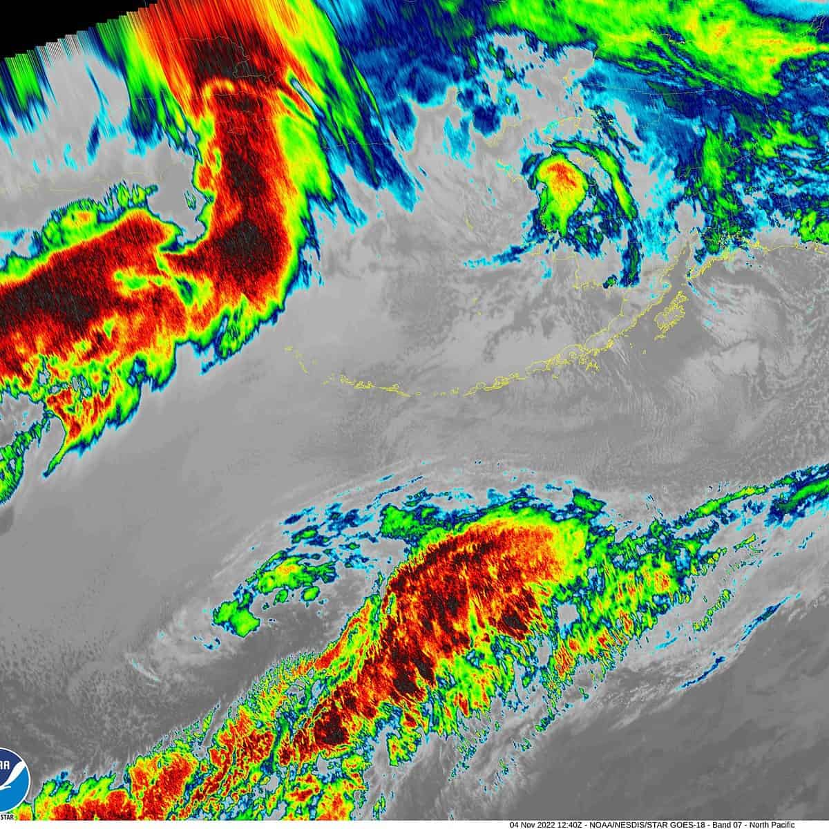
Because the weather is a bit on the crazy side today, I am writing the forecast this morning, knowing things will be changing hour-by-hour today. I just totaled up the rainfall at the Tillamook airport and see that there has been 1.91” of rain since 2AM and the winds have been gusting to 30 with gusts to 45 at the beaches. The only Warning* currently issued for the County is for a High Wind Warning for the Coast Range which is valid from 11AM this morning thru 11PM tonight for winds 20-30 gusting to 50. For now, the only river projected to reach Flood Stage is the Gray’s River in Washington. Remember though, the numbers can change as new data is fed into the models so this should all be closely monitored.
So, the area has seen the warm frontal portions of this system push thru this morning, but the cold frontal portion remains and will move in later this afternoon and finally push thru late tonight, maybe around midnight if the models are correct. The current thinking is that the area will see 4-6” of rain at the coast and the Coast Range 6-8”. All that rain will push up the flow rate of area rivers quickly, but fortunately the rivers were still on the low side so none of the area rivers are currently forecasted to even reach Action Stage.* Like I always add though, this is subject to change without notice in the next forecast. The heavy rain could still produce some localize flooding as the rain falls faster than the drains and small streams can handle it.
*EDITOR’S NOTE: Since Gordon sent this to the Pioneer, there has been a flood warning issued – for area flooding advisory at Noon today through 10 pm tonight, November 4th. See Flood Advisory.
And the forecast, well, cloudy and rainy, moderate to heavy at times, winds becoming southwesterly 25-30 gusting to 45, the high near 58. The front/atmospheric river moves through, somewhere after midnight, the winds decrease, becoming westerly 15-20 gusting to 30, lows near 43.
Tomorrow looks cloudy with showers as a trough of low pressure moves in, breezy westerly winds 10-15 gusting to 30, the high near 50. Add a chance of thunderstorms tomorrow night, still on the breezy side, lows near 38. It is possible to see another inch of rain tomorrow.
The shower and thunderstorm threat remains Sunday with winds southwesterly 10-15 gusting to 20, and the snow level starts to fall, lowering to near 2300’, highs near 47, and with colder unstable air moving in again, the shower/thunderstorm threat remains with the lows dropping to near 36, the snow level down to near 2100’.
As for next week, the concerns shift from hydrological (flooding) to travel, especially over the Coast Range passes. Monday should be okay with some showers still, highs near 47, lows down near 32 though, so the snow level could be low with accumulating snow possible near the summits.
Tuesday is when things get interesting again. Tuesday morning you could see snow or a rain snow mix in the low levels with accumulating snow in the passes as the snow level is down around 1100’. Tuesday night snow is possible in the low levels with accumulating snow down to near 700 but with the early morning low temperature expected to be in the upper 20s, you could see snow in the morning commute with some possible school delays.
Wednesday still a chance of low level morning rain or snow showers, highs near 46, lows near 31 so the passes are looking at snow and/or icy conditions into Thursday when the freezing level finally climbs up to around 3000’.
The message for next week, Know Before You Go, look at Tripcheck.com and at weather.gov/Portland to see what your travel looks like, before you head out the door!