Menu
  • Home
  • Breaking News
  • Feature
    • Arts
    • Astrology
    • Business
    • Community
    • Employment
    • Event Stories
    • From the Pioneer
    • Government
    • Letters to the Editor
    • Non Profit News
    • Obituary
    • Public Safety
    • Podcast Interview Articles
    • Pioneer Pulse Podcast: Politics, Palette, and Planet – the Playlist
  • Weather
  • Guest Column
    • Perspectives
    • Don Backman Photos
    • Ardent Gourmet
    • Kitchen Maven
    • I’ve been thinking
    • Jim Heffernan
    • The Littoral Life
    • Neal Lemery
    • View From Here
    • Virginia Carrell Prowell
    • Words of Wisdom
  • Things to do
    • Calendar
    • Tillamook County Parks
    • Tillamook County Hikes
    • Whale Watching
    • Tillamook County Library
    • SOS Community Calendar
  • About
    • Contribute
    • Advertise
    • Subscribe
    • Opt-out preferences
  • Post Submission Test
  • Search...
Menu

GORDON’S UPDATE: Weather 12/20/23 – Rain to return; Holiday travel plans – Know before you go, check TripCheck

Posted on December 20, 2023 by Editor
www.tillamookcountypioneer.net

By Gordon McCraw, Meteorologist for the Tillamook County Pioneer

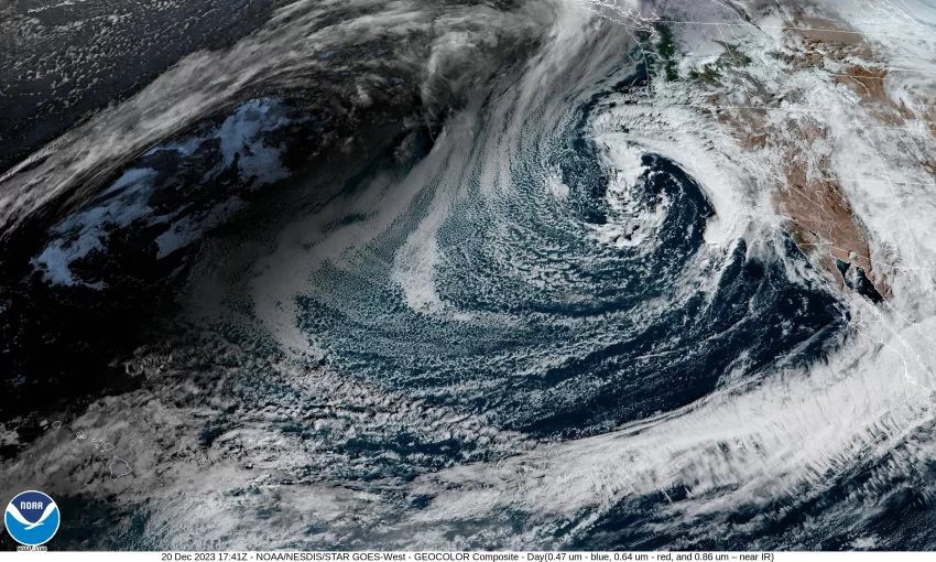
And today’s weather picture looks like this, we have a low pressure area spinning down off central California while a weak high pressure ridge builds over our area. What this means for us is a fair, mild, and dry day and tonight we can expect the low clouds and fog to return with light winds, and a low temperature near 41.

Tomorrow morning starts out cloudy and foggy, and the fog could be dense. With light winds, the fog will be slow to burn back leaving mostly cloudy skies. The fog returns by around sunset as the temperatures start to fall again, the afternoon high only near 53. With another fast moving cold front approaching, we see an increasing chance of rain starting that evening with rain likely tomorrow night, the winds becoming southerly 4-8, which helps to dissipate the fog, lows near 42.

The front pushes through around noon Friday bringing winds from the west at 10-15 gusting to 20, then we transition over to showers by the afternoon with the highs near 50. The scattered showers continue Friday night as the snow level falls to near 2500’, which is above the passes but will still put some snow in the higher Coast Range mountains, the overnight low is around 37. It looks like the front will bring somewhere between a quarter to three quarters of an inch of rain with this event, maybe an inch in the Coast Range.

It looks like a ridge tries to build on Saturday, so we see fewer showers, which is good as the snow level has dropped to around 2000’. The bad news is it appears another trough will race in and start to increase the rain chance later that night. High temperatures for Saturday are still near 50, lows down to near 34.

By Sunday it looks like we are in a zonal, or a flat west to east flow. This will provide an avenue for systems to get pushed in over our area through the holiday period and on into Tuesday. For the coast, we can expect cloudy, rainy days and cloudy, rainy, and cool nights with highs in the low 50s and lows in the upper 30s to low 40s. If you are headed east for the holidays, the Coast Range passes should be okay but east of that, travel through the Gorge and Hood River could see some travel impacts. If you are headed across the Cascades, it is very likely they will see some snow and/or freezing rain. It will be a period of, “Know Before You Go!” Look at tripcheck.com and weather.gov/Portland for all the latest weather and road information.

Featured Video

Slide Contribute SUBSCRIBE

Tillamook Weather

Tides

Tillamook County Pioneer Podcast Series

Tillamook Church Search

Cloverdale Baptist Church
Nestucca Valley Presbyterian
Tillamook Ecumenical Service

Archives

  • Home
  • EULA Privacy Policy
  • Contact
  • Opt-out preferences
  • Search...
Share on facebook
Facebook
Share on pinterest
Pinterest
Share on twitter
Twitter
Share on linkedin
Linkedin
Catherine

Recent Posts

  • OBITUARY: Judith Ann McMullen - June 25, 1942 - May 8, 2025

    May 14, 2025
  • Dramatic Dog Rescue at Cape Kiwanda Sunday May 11th Netarts Oceanside Fire District & Nestucca Rural Fire District Respond, Skilled Rope Rescue Team in Action, Brings Journey to Safety

    May 13, 2025
  • News from the Nehalem Bay Health District: Nehalem Bay Health Center and Pharmacy Update - Hospital Road Closure Wed. 5/14

    May 13, 2025
©2025 | Theme by SuperbThemes

Manage Cookie Consent
To provide the best experiences, we use technologies like cookies to store and/or access device information. Consenting to these technologies will allow us to process data such as browsing behavior or unique IDs on this site. Not consenting or withdrawing consent, may adversely affect certain features and functions.
Functional Always active
The technical storage or access is strictly necessary for the legitimate purpose of enabling the use of a specific service explicitly requested by the subscriber or user, or for the sole purpose of carrying out the transmission of a communication over an electronic communications network.
Preferences
The technical storage or access is necessary for the legitimate purpose of storing preferences that are not requested by the subscriber or user.
Statistics
The technical storage or access that is used exclusively for statistical purposes. The technical storage or access that is used exclusively for anonymous statistical purposes. Without a subpoena, voluntary compliance on the part of your Internet Service Provider, or additional records from a third party, information stored or retrieved for this purpose alone cannot usually be used to identify you.
Marketing
The technical storage or access is required to create user profiles to send advertising, or to track the user on a website or across several websites for similar marketing purposes.
Manage options Manage services Manage {vendor_count} vendors Read more about these purposes
View preferences
{title} {title} {title}