Wednesday, March 22, 2023
We saw increasing clouds today ahead of an approaching disturbance that increased the onshore flow and gave us a slight chance of showers. The disturbance will move across the area tonight giving us an increased chance of showers and starts to bring the snow level down, falling from 3700’ down to near 2300’. It also pushes the westerly winds to become more southerly after midnight, the lows down near 39.
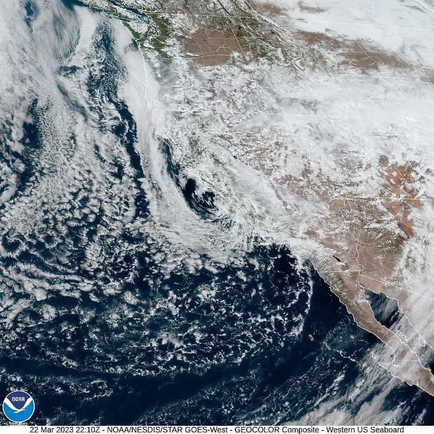
A more significant change starts tomorrow as we see an approaching colder and more unstable trough of low pressure pushing a cold front across the area bringing showers with breezy westerly winds 14-18 gusting to 25, the highs near 46, and the snow level continues to lower, falling to near 1900’. Tomorrow night we see more showers, some could produce small hail and there is a slight chance of thunderstorms, still breezy, the low drops to near 35 so the snow level is down around 1300’ which puts some snow in the higher parts of the passes up near the summit, with lower snow possible in the heavier showers.
The shower activity continues Friday, still with the chance of hail and the slight chance of thunderstorms, with westerly winds 10-15 gusting to 20, the high near 44, the snow level around 1200. Friday night looks showery and breezy, still with that chance of thunderstorms; the snow level down to near 1000’, again it could briefly drop lower in heavier showers, but with the low temperatures near 34, any lower level snow is not likely to stay long.

With the low pressure trough still parked over the area, we can expect continued scattered showers around the area over the weekend, the thunderstorm threat diminishes by Saturday night though, and the snow level starts to slowly rise, up to near 1300’ Saturday and up to around 1600’ Sunday. As I always say though, timing is everything, and this holds true for the low level snow chances over the weekend as Saturday’s low is forecasted to fall to around 32, and down to near 34 on Sunday. The daytime highs do warm up to around 48.
I should also mention that not only is there a chance of hail in the heavier showers Friday thru the weekend, but there is a chance of accumulating hail and/or graupel in the heavier showers which could briefly make the roads more hazardous until it melts.
The trough, though still present, does start to weaken some starting Monday so though we do still see some showers around Monday, the snow level begins to climb, up to around 2100’ during the day Monday and up to near 2700’ Tuesday with daytime highs climbing into the low to mid 50s, and nighttime lows dropping into the mid to upper 30s. The showers start to ease some on Tuesday.
Though this is the latest we have seen snow in a while, there have been some record snow events in April also, not to mention measurable snow in Portland in 1953 on May 8th, and even once on June 11th back in 2008 over near Diamond Lake.