Menu
  • Home
  • Breaking News
  • Feature
    • Arts
    • Astrology
    • Business
    • Community
    • Employment
    • Event Stories
    • From the Pioneer
    • Government
    • Letters to the Editor
    • Non Profit News
    • Obituary
    • Public Safety
    • Podcast Interview Articles
    • Pioneer Pulse Podcast: Politics, Palette, and Planet – the Playlist
  • Weather
  • Guest Column
    • Perspectives
    • Don Backman Photos
    • Ardent Gourmet
    • Kitchen Maven
    • I’ve been thinking
    • Jim Heffernan
    • The Littoral Life
    • Neal Lemery
    • View From Here
    • Virginia Carrell Prowell
    • Words of Wisdom
  • Things to do
    • Calendar
    • Tillamook County Parks
    • Tillamook County Hikes
    • Whale Watching
    • Tillamook County Library
    • SOS Community Calendar
  • About
    • Contribute
    • Advertise
    • Subscribe
    • Opt-out preferences
  • Post Submission Test
  • Search...
Menu

GORDON’S WEATHER UPDATE 2/27/24: Expected Snow in Passes, Travel Could be Difficult Rest of Week

Posted on February 27, 2024 by Editor

By Gordon McCraw, Meteorologist for the Tillamook County Pioneer

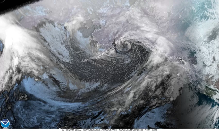
It looks like the active winter weather will continue the rest of the week. Today’s rain is from a warm front pushing across the area that will bring us some stronger southerly winds tonight 14-18 gusting to 30, the overnight low only down to near 47, the snow level rises to near 3000’.

We see more rain tomorrow, still with the breezy southerly winds 15-20 gusting to near 35, the high near 53, the snow level climbs to above 4000’. We have the associated cold front pushing in tomorrow night, the winds increasing to southwesterly 20-25 gusting to near 40, then the front passes and the temperatures and snow level starts dropping, the winds becoming westerly 14-18 gusting to 25, the low drops to near 38, the snow level falling to near 2000’.

We transition to showers again Thursday, and like the last system, with daytime heating, we have a slight chance of thunderstorms. The winds southwesterly 10-15 gusting to 25, the high temperature only up to near 47, the snow level falling to near 1700’ so in the heavier showers, the Hwy 6 summit could be seeing some snow again. Thursday night the showers or thunderstorms with possible hail continue, still breezy, and the overnight low drops to near 35. The snow level drops to near 1300’ which would possibly put several more inches of snow in the tops of the passes, and in any heavier showers in the early morning hours, a lower level mix is possible.

Friday, we see a large low pressure trough off the coast that will continue to give us showers with possible thunderstorms along with the persistent breezy winds. The snow level continues to fall, down to near 1000’, the high temperature only around 44. Friday night the low drops to near 33, and this could spell some low level snow with little to no accumulation. Obviously, the passes are looking at several inches of snow again.

Saturday looks to pretty much be a repeat, some scattered showers. The snow level starts out around 700’ then climbs to near 1100’ in the afternoon with the high near 45, then falls again Saturday night to 900’ with the low near 33, still the low level mix possible in the heavier showers, and more snow for the Coast Range.

Sunday the models get mixed on if and when the trough starts to move, but either way we likely see rain or rainshowers for Sunday and Monday with the highs climbing up to around 49 by Monday, the overnight lows in the mid 30s.

A couple of extras here, if you are planning to go across the Coast Range passes from tomorrow evening on through the rest of the week, I suggest you go prepared for wintery weather that makes travel difficult. With the snow and winds, down trees are possible also. Speaking of winds, the beaches could be seeing winds 25-30 gusting to near 50-55 Wednesday night. With these winds, power outages are again possible. And lastly, with all the snow and rain, the rivers will climb with increasing flow rates through the end of the week, but for now, it does not look like we will see any river flooding.
Be sure to check www.tripcheck.com.

Featured Video

Slide Contribute SUBSCRIBE

Tillamook Weather

Tides

Tillamook County Pioneer Podcast Series

Tillamook Church Search

Cloverdale Baptist Church
Nestucca Valley Presbyterian
Tillamook Ecumenical Service

Archives

  • Home
  • EULA Privacy Policy
  • Contact
  • Opt-out preferences
  • Search...
Share on facebook
Facebook
Share on pinterest
Pinterest
Share on twitter
Twitter
Share on linkedin
Linkedin
Catherine

Recent Posts

  • ARDENT GOURMET: Stunning Szechuan Garden in Hillsboro

    May 19, 2025
  • South County Candidates Forum: Nestucca Valley School District Candidates say, “Get Out the Vote!”

    May 19, 2025
  • REPRESENTATIVE CYRUS JAVADI TOWN HALL MAY 21ST IN TILLAMOOK AT TBCC

    May 19, 2025
©2025 | Theme by SuperbThemes

Manage Cookie Consent
To provide the best experiences, we use technologies like cookies to store and/or access device information. Consenting to these technologies will allow us to process data such as browsing behavior or unique IDs on this site. Not consenting or withdrawing consent, may adversely affect certain features and functions.
Functional Always active
The technical storage or access is strictly necessary for the legitimate purpose of enabling the use of a specific service explicitly requested by the subscriber or user, or for the sole purpose of carrying out the transmission of a communication over an electronic communications network.
Preferences
The technical storage or access is necessary for the legitimate purpose of storing preferences that are not requested by the subscriber or user.
Statistics
The technical storage or access that is used exclusively for statistical purposes. The technical storage or access that is used exclusively for anonymous statistical purposes. Without a subpoena, voluntary compliance on the part of your Internet Service Provider, or additional records from a third party, information stored or retrieved for this purpose alone cannot usually be used to identify you.
Marketing
The technical storage or access is required to create user profiles to send advertising, or to track the user on a website or across several websites for similar marketing purposes.
Manage options Manage services Manage {vendor_count} vendors Read more about these purposes
View preferences
{title} {title} {title}