Menu
  • Home
  • Breaking News
  • Feature
    • Arts
    • Astrology
    • Business
    • Community
    • Employment
    • Event Stories
    • From the Pioneer
    • Government
    • Letters to the Editor
    • Non Profit News
    • Obituary
    • Public Safety
    • Podcast Interview Articles
    • Pioneer Pulse Podcast: Politics, Palette, and Planet – the Playlist
  • Weather
  • Guest Column
    • Perspectives
    • Don Backman Photos
    • Ardent Gourmet
    • Kitchen Maven
    • I’ve been thinking
    • Jim Heffernan
    • The Littoral Life
    • Neal Lemery
    • View From Here
    • Virginia Carrell Prowell
    • Words of Wisdom
  • Things to do
    • Calendar
    • Tillamook County Parks
    • Tillamook County Hikes
    • Whale Watching
    • Tillamook County Library
    • SOS Community Calendar
  • About
    • Contribute
    • Advertise
    • Subscribe
    • Opt-out preferences
  • Post Submission Test
  • Search...
Menu

GORDON’S WEATHER UPDATE 3/7/24: One more sunny day, Rain moves in tomrorrow, Friday through weekend

Posted on March 7, 2024 by Editor
www.tillamookcountypioneer.net

By Gordon McCraw, Meteorologist for the Tillamook County Pioneer

Another cold, frosty start this morning with the low down around 27 degrees thanks to the high pressure ridge giving us another mostly clear night. After a slightly warmer, sunny day today, tonight we see increasing clouds ahead of the next approaching system. This will also bring easterly winds 5-10, the low tonight not quite as cold, only dropping down to near 36.

We pick up a slight chance of rain early tomorrow morning with a slightly better chance of rain later in the morning, approaching lunchtime, the winds becoming southwesterly 5-10 in the afternoon, high temperatures climbing up to around 58 degrees. Tomorrow night looks rainy with the front moving in, winds becoming southerly 10-15 gusting to near 25, gusting to 35 at the beaches, with those southerly winds the overnight low only makes it to near 43.

The front pushes across Saturday morning leaving showers with possible thunderstorms late morning, the winds increasing to southerly 15-20 gusting to 30, the high near 50. More showers with possible thunderstorms Saturday night, the winds now southeasterly 15-20 gusting to around 35-40 with gust to 45-55 possible at the beaches, lows near 42.

The front will still be influencing the weather Sunday with rain and rainshowers with possible thunderstorms, still on the windy side also with southwesterly winds 15-20 gusting to 30-35, highs near 49, more showers and possible thunderstorms Sunday night, still breezy, lows near 40.

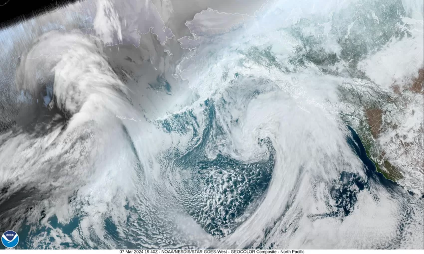
Next week it looks like we have a trough of low pressure over the area with a strong jet stream over the top of us running from southeast to northwest, and all this equals more clouds and rain along with breezy to windy conditions for Monday into Tuesday then it appears things will slowly start settling down Tuesday night into Wednesday. The long range models put us under a strong ridge of high pressure by Thursday that could push the temperature up to or even above 60 degrees. This is still pretty far out and can obviously change between now and then.

Featured Video

Slide Contribute SUBSCRIBE

Tillamook Weather

Tides

Tillamook County Pioneer Podcast Series

Tillamook Church Search

Cloverdale Baptist Church
Nestucca Valley Presbyterian
Tillamook Ecumenical Service

Archives

  • Home
  • EULA Privacy Policy
  • Contact
  • Opt-out preferences
  • Search...
Share on facebook
Facebook
Share on pinterest
Pinterest
Share on twitter
Twitter
Share on linkedin
Linkedin
Catherine

Recent Posts

  • BREAKING NEWS: Successful Rescue Mission at Sheriff’s Office Today, May 23rd

    May 23, 2025
  • CIVIC SATURDAYS WITH JIM HEFFERNAN – Sermon #14 – Become America; Transcript from “Which Dream Do You Dream”

    May 23, 2025
  • A shout out for Community Building in North Tillamook County last weekend May 16-18

    May 23, 2025
©2025 | Theme by SuperbThemes

Manage Cookie Consent
To provide the best experiences, we use technologies like cookies to store and/or access device information. Consenting to these technologies will allow us to process data such as browsing behavior or unique IDs on this site. Not consenting or withdrawing consent, may adversely affect certain features and functions.
Functional Always active
The technical storage or access is strictly necessary for the legitimate purpose of enabling the use of a specific service explicitly requested by the subscriber or user, or for the sole purpose of carrying out the transmission of a communication over an electronic communications network.
Preferences
The technical storage or access is necessary for the legitimate purpose of storing preferences that are not requested by the subscriber or user.
Statistics
The technical storage or access that is used exclusively for statistical purposes. The technical storage or access that is used exclusively for anonymous statistical purposes. Without a subpoena, voluntary compliance on the part of your Internet Service Provider, or additional records from a third party, information stored or retrieved for this purpose alone cannot usually be used to identify you.
Marketing
The technical storage or access is required to create user profiles to send advertising, or to track the user on a website or across several websites for similar marketing purposes.
Manage options Manage services Manage {vendor_count} vendors Read more about these purposes
View preferences
{title} {title} {title}