Menu
  • Home
  • Breaking News
  • Feature
    • Arts
    • Astrology
    • Business
    • Community
    • Employment
    • Event Stories
    • From the Pioneer
    • Government
    • Letters to the Editor
    • Non Profit News
    • Obituary
    • Public Safety
    • Podcast Interview Articles
    • Pioneer Pulse Podcast: Politics, Palette, and Planet – the Playlist
  • Weather
  • Guest Column
    • Perspectives
    • Don Backman Photos
    • Ardent Gourmet
    • Kitchen Maven
    • I’ve been thinking
    • Jim Heffernan
    • The Littoral Life
    • Neal Lemery
    • View From Here
    • Virginia Carrell Prowell
    • Words of Wisdom
  • Things to do
    • Calendar
    • Tillamook County Parks
    • Tillamook County Hikes
    • Whale Watching
    • Tillamook County Library
    • SOS Community Calendar
  • About
    • Contribute
    • Advertise
    • Subscribe
    • Opt-out preferences
  • Post Submission Test
  • Search...
Menu

GORDON’S WEATHER UPDATE 3/8/24: The rains returns & Spring forward on Sunday

Posted on March 8, 2024 by Editor

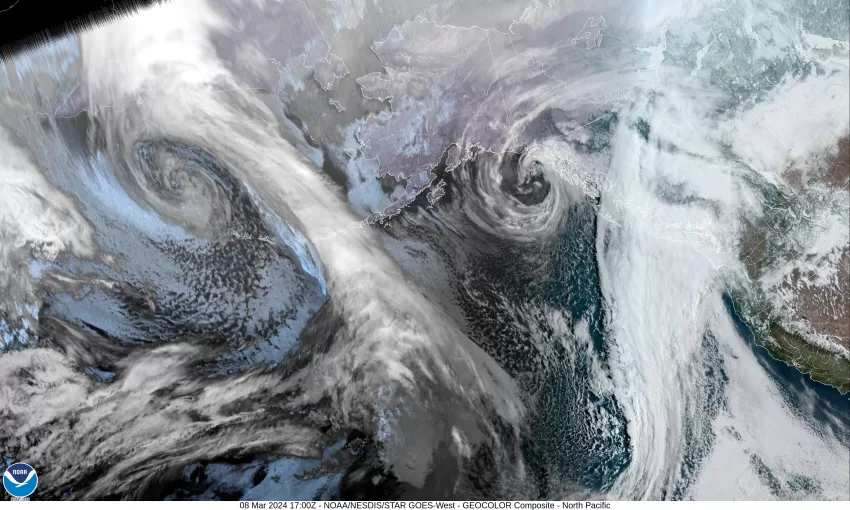
An interesting start to the morning, late last night when the skies were only partly cloudy, the temperature dropped to around 32. Then, in the early morning hours the clouds rolled in and with some light southerly winds, the temperatures started climbing and by sunrise we were at 37 degrees. The clouds are associated with an approaching frontal system that is already giving Astoria some light rain.

So, it looks like we will likely see some patchy light rain this evening with rain likely tonight as the warm frontal portion of the system moves across, the winds becoming easterly 5-10 gusting to 20, tonight’s low temperature only down to near 43.

The front pushes through in the morning hours tomorrow leaving showers, and there is a chance of thunderstorms starting in the afternoon on Saturday, winds becoming southwesterly 15-20 gusting to 30, the high near 50. Tomorrow night the associated cold front pushes in the rain, the winds increasing, becoming southerly 18-24 gusting to 40 with higher gusts at the beaches, the low near 41, and the snow level drops to around 2500-3500’.

The rain continues Sunday morning, then the front moves across around midday leaving showers with possible thunderstorms, still the breezy winds, becoming easterly 10-15 gusting to 25, highs near 49. The shower/thunderstorm threat continues Sunday night, and still breezy, lows near 41.

Monday looks cloudy, rainy, and breezy, with more showers and possible thunderstorms Monday night into Tuesday, highs near 50, lows near 41. It continues to look like a ridge of high pressure starts to build in later Wednesday, capping the shower activity and with the ridge continuing to build, Thursday looks mostly sunny, dry, and warming with the afternoon high possible reaching around 60.

And don’t forget folks, we Spring Forward and lose an hour of sleep this weekend, officially at 2am Sunday morning. If you are like me, I reset the clocks Saturday night before I go to bed. Don’t forget or you will be late to whatever Sunday!

Featured Video

Slide Contribute SUBSCRIBE

Tillamook Weather

Tides

Tillamook County Pioneer Podcast Series

Tillamook Church Search

Cloverdale Baptist Church
Nestucca Valley Presbyterian
Tillamook Ecumenical Service

Archives

  • Home
  • EULA Privacy Policy
  • Contact
  • Opt-out preferences
  • Search...
Share on facebook
Facebook
Share on pinterest
Pinterest
Share on twitter
Twitter
Share on linkedin
Linkedin
Catherine

Recent Posts

  • AN OCEANSIDER EDITORIAL: An Opportunity to Protect a Village in Transition

    May 17, 2025
  • U.S. Coast Guard Auxiliary to Conduct Courtesy Vessel Safety Checks in Conjunction with 2025 National Safe Boating Week; Flotilla 63 - Tillamook Bay Vessel Checks Sat. May 31st at Port of Garibaldi

    May 17, 2025
  • OREGON DEPT. OF FORESTRY: ADULTS IN CUSTODY AT SOUTH FORK FOREST CAMP TRAINED AND READY TO HELP FIGHT OREGON’S WILDFIRES (PHOTO)

    May 17, 2025
©2025 | Theme by SuperbThemes

Manage Cookie Consent
To provide the best experiences, we use technologies like cookies to store and/or access device information. Consenting to these technologies will allow us to process data such as browsing behavior or unique IDs on this site. Not consenting or withdrawing consent, may adversely affect certain features and functions.
Functional Always active
The technical storage or access is strictly necessary for the legitimate purpose of enabling the use of a specific service explicitly requested by the subscriber or user, or for the sole purpose of carrying out the transmission of a communication over an electronic communications network.
Preferences
The technical storage or access is necessary for the legitimate purpose of storing preferences that are not requested by the subscriber or user.
Statistics
The technical storage or access that is used exclusively for statistical purposes. The technical storage or access that is used exclusively for anonymous statistical purposes. Without a subpoena, voluntary compliance on the part of your Internet Service Provider, or additional records from a third party, information stored or retrieved for this purpose alone cannot usually be used to identify you.
Marketing
The technical storage or access is required to create user profiles to send advertising, or to track the user on a website or across several websites for similar marketing purposes.
Manage options Manage services Manage {vendor_count} vendors Read more about these purposes
View preferences
{title} {title} {title}