Menu
  • Home
  • Breaking News
  • Feature
    • Arts
    • Astrology
    • Business
    • Community
    • Employment
    • Event Stories
    • From the Pioneer
    • Government
    • Letters to the Editor
    • Non Profit News
    • Obituary
    • Public Safety
    • Podcast Interview Articles
    • Pioneer Pulse Podcast: Politics, Palette, and Planet – the Playlist
  • Weather
  • Guest Column
    • Perspectives
    • Don Backman Photos
    • Ardent Gourmet
    • Kitchen Maven
    • I’ve been thinking
    • Jim Heffernan
    • The Littoral Life
    • Neal Lemery
    • View From Here
    • Virginia Carrell Prowell
    • Words of Wisdom
  • Things to do
    • Calendar
    • Tillamook County Parks
    • Tillamook County Hikes
    • Whale Watching
    • Tillamook County Library
    • SOS Community Calendar
  • About
    • Contribute
    • Advertise
    • Subscribe
    • Opt-out preferences
  • Post Submission Test
  • Search...
Menu

GORDON’S WEEKEND WEATHER UPDATE: Light rain through weekend; Active weather coming next week

Posted on March 7, 2025 by Editor

By Gordon McCraw, Meteorologist for the Tillamook County Pioneer
Well, Sunday was nice, so far, this week’s high temperature was on Sunday when it peaked at 54, then Tuesday into Wednesday we had that front push through that pushed the overnight lows down into the 30s. with the temperature dropping to 30 Thursday morning.

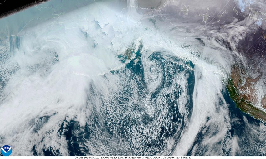
The high pressure ridge moving over did give us a sunny day Thursday after the fog cleared, then some clouds started moving in overnight so the low only dropped to near 35 degrees. Now we see a partly sunny day Friday with the ridge continuing to get pushed eastward as a trough and front try to push in, without much success, though we do have a slight chance of some light precipitation late Friday night associated with a weak atmospheric river taking aim at Vancouver Island. High temperatures on Friday around 54, lows near 38.

We have a better chance of seeing some light precipitation on Saturday associated with that front to our northwest that could cause some rain to make it into the coast. With some increasing southerly winds, we likely see the high temperature climb to near 57, still a slight chance of rain that night, lows near 43.

It looks like by Sunday we see a split flow develop with that front still stalled offshore. This causes a low pressure area to develop off of northern California coast with another bit of energy pushing inland to the north, but still likely causing some rain here by Sunday evening that persists onto the start of next week. High temperatures this weekend remain in the upper 50s, lows in the low 40s.

Just a heads up, some of the models show more active weather in store for the second half of next week that may bring some gusty winds as well, thanks to a low pressure area just off the coast. More on this in my Monday forecast.

This is meteorologist Gordon McCraw hoping you all have a great weekend. See ya next week!

Featured Video

Slide Contribute SUBSCRIBE

Tillamook Weather

Tides

Tillamook County Pioneer Podcast Series

Tillamook Church Search

Cloverdale Baptist Church
Nestucca Valley Presbyterian
Tillamook Ecumenical Service

Archives

  • Home
  • EULA Privacy Policy
  • Contact
  • Opt-out preferences
  • Search...
Share on facebook
Facebook
Share on pinterest
Pinterest
Share on twitter
Twitter
Share on linkedin
Linkedin
Catherine

Recent Posts

  • David's Chair Now Available at Rockaway Beach - Official Dedication, Blessing May 17th

    May 21, 2025
  • GORDON'S VOLCANO UPDATE 5/21/25: Volcano to Erupt West of Astoria THIS YEAR!

    May 21, 2025
  • A PERSONAL POINT OF PRIVILEGE: Hurry Up and Wait

    May 21, 2025
©2025 | Theme by SuperbThemes

Manage Cookie Consent
To provide the best experiences, we use technologies like cookies to store and/or access device information. Consenting to these technologies will allow us to process data such as browsing behavior or unique IDs on this site. Not consenting or withdrawing consent, may adversely affect certain features and functions.
Functional Always active
The technical storage or access is strictly necessary for the legitimate purpose of enabling the use of a specific service explicitly requested by the subscriber or user, or for the sole purpose of carrying out the transmission of a communication over an electronic communications network.
Preferences
The technical storage or access is necessary for the legitimate purpose of storing preferences that are not requested by the subscriber or user.
Statistics
The technical storage or access that is used exclusively for statistical purposes. The technical storage or access that is used exclusively for anonymous statistical purposes. Without a subpoena, voluntary compliance on the part of your Internet Service Provider, or additional records from a third party, information stored or retrieved for this purpose alone cannot usually be used to identify you.
Marketing
The technical storage or access is required to create user profiles to send advertising, or to track the user on a website or across several websites for similar marketing purposes.
Manage options Manage services Manage {vendor_count} vendors Read more about these purposes
View preferences
{title} {title} {title}