Menu
  • Home
  • Breaking News
  • Feature
    • Arts
    • Astrology
    • Business
    • Community
    • Employment
    • Event Stories
    • From the Pioneer
    • Government
    • Letters to the Editor
    • Non Profit News
    • Obituary
    • Public Safety
    • Podcast Interview Articles
    • Pioneer Pulse Podcast: Politics, Palette, and Planet – the Playlist
  • Weather
  • Guest Column
    • Perspectives
    • Don Backman Photos
    • Ardent Gourmet
    • Kitchen Maven
    • I’ve been thinking
    • Jim Heffernan
    • The Littoral Life
    • Neal Lemery
    • View From Here
    • Virginia Carrell Prowell
    • Words of Wisdom
  • Things to do
    • Calendar
    • Tillamook County Parks
    • Tillamook County Hikes
    • Whale Watching
    • Tillamook County Library
    • SOS Community Calendar
  • About
    • Contribute
    • Advertise
    • Subscribe
    • Opt-out preferences
  • Post Submission Test
  • Search...
Menu

GORDON’S WEEKLY WEATHER UPDATE 3/10/25: Calm today, Rains, Storms Return later this Week

Posted on March 10, 2025 by Editor

Good Monday morning, Tillamook. While we did have a front push through that gave us almost ½” of rain last night, today looks to be the calm day before the storm, or storms return, thanks to a strong trough moving in later this week that will being gusty winds and lowering snow levels through the weekend.
So, there is still a slight chance of a widely scattered shower overnight tonight that diminishes after midnight as a weak ridge of high pressure moves across, and with calm winds and all the moisture, patchy fog is possible in the early morning hours, the low temperatures down to near 37.
Tomorrow the rain returns, associated with a trough and weak warm front that pushes in some rain again by the afternoon, the winds becoming southerly 4-8, the high near 50, more rain tomorrow night, the winds southerly 5-10, lows near 40.

The rain continues Wednesday with the approach of the cold front, winds southerly 4-8, the afternoon high temperature near 50. The front pushes through Wednesday night and the rain transitions to showers, the low drops to near 36.
With a colder and more unstable airmass pushing in behind the front Thursday, we can expect more showers with possible thunderstorms starting in the afternoon, the high temperature only up to near 48. The showers with the slight thunderstorm threat remain Thursday night as the lows drop to near 34. This means there is a slight chance of some snow across the summit of Hwy 6 and 26 in the early morning hours with accumulating snow possible above 2000’.
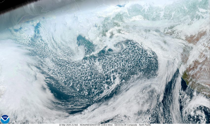
Friday is highlighted by the chance of morning snowshowers across the summit. There is also a slight chance of strong winds developing along the beaches later Friday as a low pressure area moves towards the coast causing increased rain and breezy conditions that persist into Saturday and Sunday. This low pressure area also presents a chance of Storm Force Winds and elevated seas Friday and Saturday. All this is still pretty far out and can change as the models get a better handle on exactly where the low will go and just how strong it will get. My Thursday report will have a better view on the impacts of this system locally. High temperatures over the weekend around 50, lows around 38.
Until my Thursday update, this is meteorologist Gordon McCraw wish everyone a great and safe week. By yall!

Featured Video

Slide Contribute SUBSCRIBE

Tillamook Weather

Tides

Tillamook County Pioneer Podcast Series

Tillamook Church Search

Cloverdale Baptist Church
Nestucca Valley Presbyterian
Tillamook Ecumenical Service

Archives

  • Home
  • EULA Privacy Policy
  • Contact
  • Opt-out preferences
  • Search...
Share on facebook
Facebook
Share on pinterest
Pinterest
Share on twitter
Twitter
Share on linkedin
Linkedin
Catherine

Recent Posts

  • TILLAMOOK COUNTY PIONEER WEEK IN REVIEW 5/22/25

    May 22, 2025
  • Rockaway Beach Resort Named Oregon Private Employer of the Year by Oregon Resource Association

    May 22, 2025
  • MANZANITA FARMERS MARKET READIES FOR WEEK #2

    May 22, 2025
©2025 | Theme by SuperbThemes

Manage Cookie Consent
To provide the best experiences, we use technologies like cookies to store and/or access device information. Consenting to these technologies will allow us to process data such as browsing behavior or unique IDs on this site. Not consenting or withdrawing consent, may adversely affect certain features and functions.
Functional Always active
The technical storage or access is strictly necessary for the legitimate purpose of enabling the use of a specific service explicitly requested by the subscriber or user, or for the sole purpose of carrying out the transmission of a communication over an electronic communications network.
Preferences
The technical storage or access is necessary for the legitimate purpose of storing preferences that are not requested by the subscriber or user.
Statistics
The technical storage or access that is used exclusively for statistical purposes. The technical storage or access that is used exclusively for anonymous statistical purposes. Without a subpoena, voluntary compliance on the part of your Internet Service Provider, or additional records from a third party, information stored or retrieved for this purpose alone cannot usually be used to identify you.
Marketing
The technical storage or access is required to create user profiles to send advertising, or to track the user on a website or across several websites for similar marketing purposes.
Manage options Manage services Manage {vendor_count} vendors Read more about these purposes
View preferences
{title} {title} {title}