








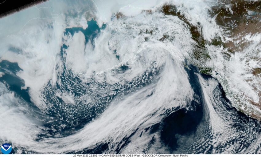
Well, I hope you don’t mind but I took the holiday off and so here is your Tuesday weekly update. It looks like we had a cold front move through yesterday which lowered the daily high temperature down by about 10 degrees, from the mid 60s Sunday to the mid 50s yesterday, with today straining to get to around 60. We saw a few post frontal showers across the region last night that diminished during the day today, as the associated low pressure area moved across the area and down into California. Things start to mellow out tonight as high pressure starts to build in over the area again, capping and bringing an end to any remaining showers. There is a chance of some patchy early morning fog after the winds start to die off around midnight tonight, the low near 47.
Becoming mostly sunny tomorrow thanks to the building high pressure ridge, the winds becoming northwesterly 8-12, tomorrow high temperature up near 66. Partly cloudy skies tomorrow night bring another threat of some patchy fog after midnight, the low near 49.
Thursday starts out mostly sunny with northwesterly winds 5-10, the high near 65. Thursday night though, there is a slight chance of seeing some wrap-around showers from the low sitting in California still, the low near 51.
The shower threat ends by noon Friday, the high drops to near 59, then it looks like high pressure starts to return under mostly cloudy skies Friday night, the low near 45.
Conditions continue to improve with Saturday looking partly sunny and 59, while Sunday looks mostly sunny and 61, and the fair, dry and mild conditions continue into the start of next week with Monday becoming sunny with the afternoon high up near 70.
It must be Spring still!
