










By Gordon McCraw, Meteorologist for the Tillamook County Pioneer
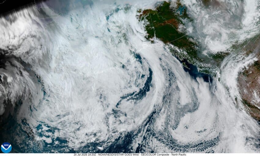
Hello Tillamook, it was another cloudy, foggy, and misty morning today that gave us some breaks in the afternoon as we continue to see a trough of low pressure off to the west, and a large high pressure ridge off to the east. This pattern is pulling lots of upper level clouds, as well as some smoke, up from the southwest. The high pressure ridge will still result in warming temperatures across the region at least through midweek when some increasing moisture could bring us a chance of showers. Overall though, the summerlike fair, dry, and mild conditions will continue over the region again this week. So tonight, look for the fog and clouds to return around midnight with the calm winds, tonight’s lows around 56.
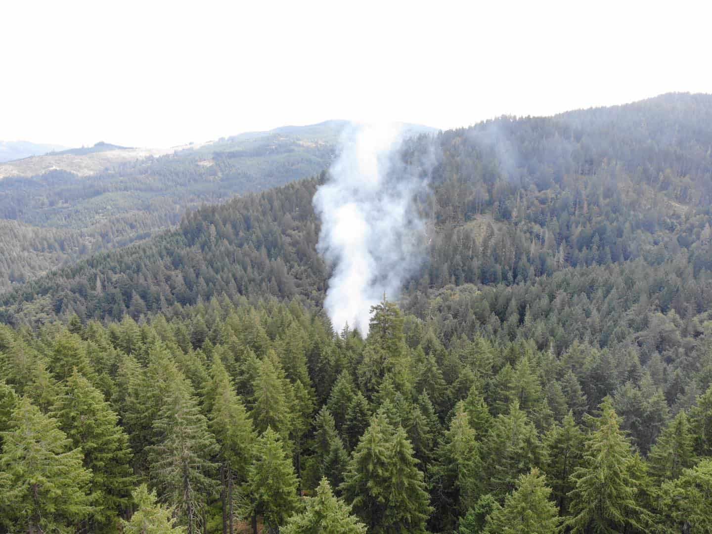
We start out cloudy again tomorrow, Tuesday, with the morning fog and clouds that burn back some, leaving a partly to mostly sunny afternoon. With light winds, tomorrow’s high temperature will be up near 74. The fog and clouds roll in again tomorrow night, with calm winds, the low near 59. Just a heads up, if you need to head over the Coast Range tomorrow, they are looking at a Heat Advisory with the high temperatures there possible reaching into the mid and upper 90s, tomorrow and Wednesday, causing a moderate to major heat risk from Salem north through the Portland area. The only catch is, with the stronger southwesterly flow, just how thick the smoke from the south Oregon wildfires becomes which could lead to suppressing these really high temperatures.
At any rate, back over here on our side of the Coast Range, Wednesday starts out cloudy and foggy, but this should burn off leaving a mostly sunny afternoon with the high temperatures climbing back into the mid 70s. We see more clouds and maybe some patchy fog that night associated with that trough to the west drifting a little closer to the coast that gives us a slight chance of showers later Wednesday night, the low near 58.
The slight shower chance ends later Thursday morning under partly sunny skies, the afternoon highs again up near 70, then the clouds roll in again that night as the ridge weakens some, lows near 56.
Friday on through the weekend, the fair, dry and mild conditions return with partly to mostly sunny days and partly to mostly cloudy nights, highs in the upper 60s, lows in the mid 50s.
Some weather trivia for July, just in case you think we are seeing some real hot temperatures lately, on July 10, 1913, Death Valley’s temperature peaked up at 134 degrees, which is the hottest recorded temperature anywhere. In second place is the 131 degrees recorded in Kebili, Tunisia in 1931. Now the 70s here and the 90s over in the valley don’t seem so bad. And that’s it for this week everyone, stay safe all.
