Menu
  • Home
  • Breaking News
  • Feature
    • Arts
    • Astrology
    • Business
    • Community
    • Employment
    • Event Stories
    • From the Pioneer
    • Government
    • Letters to the Editor
    • Non Profit News
    • Obituary
    • Public Safety
    • Podcast Interview Articles
    • Pioneer Pulse Podcast: Politics, Palette, and Planet – the Playlist
  • Weather
  • Guest Column
    • Perspectives
    • Don Backman Photos
    • Ardent Gourmet
    • Kitchen Maven
    • I’ve been thinking
    • Jim Heffernan
    • The Littoral Life
    • Neal Lemery
    • View From Here
    • Virginia Carrell Prowell
    • Words of Wisdom
  • Things to do
    • Calendar
    • Tillamook County Parks
    • Tillamook County Hikes
    • Whale Watching
    • Tillamook County Library
    • SOS Community Calendar
  • About
    • Contribute
    • Advertise
    • Subscribe
    • Opt-out preferences
  • Post Submission Test
  • Search...
Menu

GORDON’S WEEKLY WEATHER UPDATE 8/12/24: Marine clouds, patchy morning fog with some afternoon clearing, cool temperatures — sounds kinda like summer on the North Oregon Coast

Posted on August 12, 2024 by Editor

By Gordon McCraw, Meteorologist for the Tillamook County Pioneer
There were some showers overnight, just not rainshowers, but instead, the Perseid Meteor Showers. Considered the best show of the year, and the peak is likely tonight. Unfortunately, many areas will have their visibility restricted by clouds and/or smoke. Don’t give up though, the “season” technically runs from July 14th through September 1st. So, what is this shower’s debris? It is the earth’s orbit taking it through the debris left by the Swift-Tuttle asteroid, debris that was left during its last trip around the sun in 1992. I went out last night at around 11:00pm and didn’t see any, but I did catch some of the Northern Lights that were once again visible.

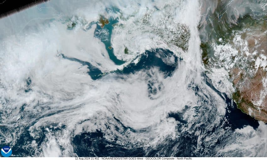
Moving back down closer to the earth’s surface, there is an upper level trough of low pressure just off the coast that is enhancing the onshore flow, which in turn has pushed in and thickened the marine layer today. It will burn off a little before returning this evening and thicken once again tonight, possibly bringing some mist or light drizzle overnight along with some patchy fog. The winds will be light and variable tonight, the low down near 54.

We continue with a cloudy and drizzly morning tomorrow that starts to thin out mid-morning, then becomes partly to mostly sunny in the afternoon, the winds becoming westerly 4-8, also in the afternoon, with the high temperature near 66. Some clouds and fog return tomorrow night, the winds die off, lows near 52.

It looks like we have a zonal, or west to east flow Wednesday, so the onshore flow continues, and means we start out with those clouds and patchy fog in the morning. The fog and clouds will burn back to or near the coast leaving a partly to mostly sunny afternoon, winds becoming westerly 4-8, the high up near 68. Look for partly cloudy skies with that patchy fog possible Wednesday night, calm winds, lows near 54.

By Thursday, another trough is developing along the coast, so we see partly sunny skies, the high near 66, in comes the marine clouds Thursday night, some patchy fog possible again, lows near 53.

As for Friday on through the weekend, the models suggest we will see several weak disturbances ride the flow into the area, that brings a slight chance of showers from time to time under mostly cloudy to partly sunny skies with highs near 65, and some mostly cloudy nights that also have a chance of patchy early morning fog with the lows near 52.

By-the-way, some good news, with this persistent westerly flow, at the surface and aloft, much of the wildfire smoke will continue to get pushed eastward but I would still expect to see some hazy skies as it thins out.

Featured Video

Slide Contribute SUBSCRIBE

Tillamook Weather

Tides

Tillamook County Pioneer Podcast Series

Tillamook Church Search

Cloverdale Baptist Church
Nestucca Valley Presbyterian
Tillamook Ecumenical Service

Archives

  • Home
  • EULA Privacy Policy
  • Contact
  • Opt-out preferences
  • Search...
Share on facebook
Facebook
Share on pinterest
Pinterest
Share on twitter
Twitter
Share on linkedin
Linkedin
Catherine

Recent Posts

  • GORDON'S WEEKEND WEATHER UPDATE 5/15/25: More showers and slight threat of thunderstorms

    May 15, 2025
  • NEHALEM BAY STATE PARK TO OPEN DAY-USE AREAS, BOAT LAUNCH MAY 23, CAMPGROUND REMAINS CLOSED

    May 14, 2025
  • MANZANITA FARMERS MARKET OPENS FRIDAY MAY 16TH!!

    May 14, 2025
©2025 | Theme by SuperbThemes

Manage Cookie Consent
To provide the best experiences, we use technologies like cookies to store and/or access device information. Consenting to these technologies will allow us to process data such as browsing behavior or unique IDs on this site. Not consenting or withdrawing consent, may adversely affect certain features and functions.
Functional Always active
The technical storage or access is strictly necessary for the legitimate purpose of enabling the use of a specific service explicitly requested by the subscriber or user, or for the sole purpose of carrying out the transmission of a communication over an electronic communications network.
Preferences
The technical storage or access is necessary for the legitimate purpose of storing preferences that are not requested by the subscriber or user.
Statistics
The technical storage or access that is used exclusively for statistical purposes. The technical storage or access that is used exclusively for anonymous statistical purposes. Without a subpoena, voluntary compliance on the part of your Internet Service Provider, or additional records from a third party, information stored or retrieved for this purpose alone cannot usually be used to identify you.
Marketing
The technical storage or access is required to create user profiles to send advertising, or to track the user on a website or across several websites for similar marketing purposes.
Manage options Manage services Manage {vendor_count} vendors Read more about these purposes
View preferences
{title} {title} {title}