







Tillamook County Pioneer

News & People of Tillamook County. Every Day.

Menu
  • Home
  • Feature
    • Breaking News
    • Arts
    • Astrology
    • Business
    • Community
    • Employment
    • Event Stories
    • From the Pioneer
    • Government
    • Letters to the Editor
    • Non Profit News
    • Obituary
    • Public Safety
    • Podcast Interview Articles
    • Pioneer Pulse Podcast: Politics, Palette, and Planet – the Playlist
  • Guest Column
    • Perspectives
    • Don Backman Photos
    • Ardent Gourmet
    • Kitchen Maven
    • I’ve been thinking
    • Jim Heffernan
    • The Littoral Life
    • Neal Lemery
    • View From Here
    • Virginia Carrell Prowell
    • Words of Wisdom
    • Chuck McLaughlin – 1928 to 2025
  • Weather
  • Post Submission
  • Things to do
    • Calendar
    • Tillamook County Parks
    • Tillamook County Hikes
    • Whale Watching
    • Tillamook County Library
    • SOS Community Calendar
  • About
    • Contribute
    • Advertise
    • Subscribe
    • Opt-out preferences
  • Search...
Menu

GORDON’S WEEKLY WEATHER UPDATE 8/3/26: First half of the week sunny, hot, smoky, and dry; Improving the second half of the week, returning to normal by weekend

Posted on August 3, 2026August 3, 2026 by Editor


By Gordon McCraw, Meteorologist for the Tillamook County Pioneer
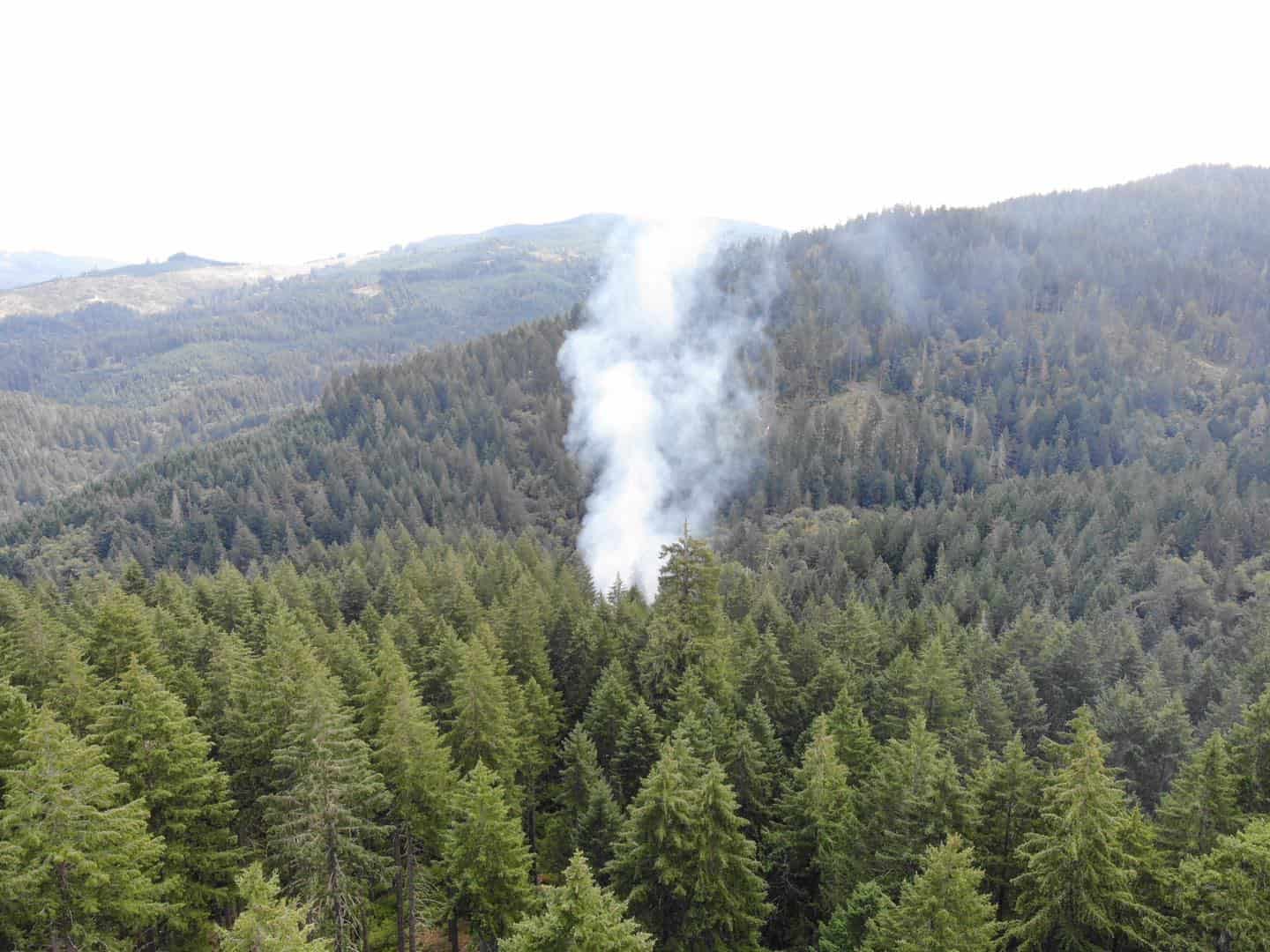
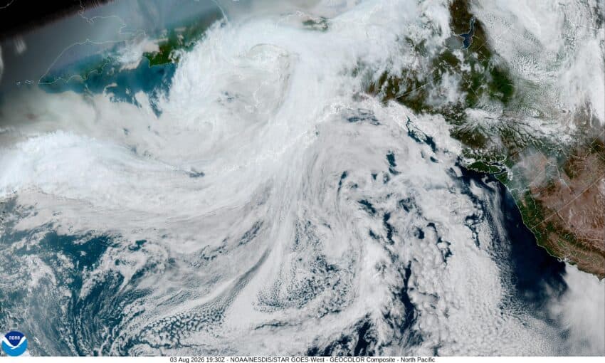
After a couple of rather nice days over the weekend, things started changing today, and now we can expect some sunny, dry, and smoky days ahead thanks to a building high pressure ridge over the area causing some easterly winds that will push the hot and smoky air towards the west.  The only caveat is the smoke.  There is a slight chance that it could push the high temperatures down a few degrees, but it will still be hot. So, after a sunny and breezy day today that started warming up, tonight we see that smoke blowing in with the winds becoming northeasterly 8-12, the low near 59.

Tomorrow looks sunny, smoky, and hotter, with northerly winds 5-10, the high climbs to near 86. Then look for a mostly clear skies night, with light northeasterly winds, the low only drops to near 62.

Wednesday looks to be another sunny and hot day with the strong ridge of high pressure still over the area. The afternoon winds are relatively light from the north, that high again climbs to near 84.

Things start to moderate Thursday as an upper level trough of low pressure moves across.  This will bring cooler temperatures with the afternoon high only up around 73.  We also see the beginning of improving smoke conditions as the winds become more westerly across the region.  Thursday night looks partly cloudy, with the low around 57.

The cooling trend continues Friday thanks to the westerly winds, the afternoon high temperature is only around 71 degrees, and with the mostly clear nighttime skies still, the low drops to near 56 degrees.

The onshore flow strengthens over the weekend so Saturday we see a few clouds, mainly in the morning, the high near 69, then the marine layer moves in Saturday night, the low near 55.

Sunday becomes sunny again in the afternoon, the high near 67, the clouds return that night, the low back down to near 55.

Now, before I go, I should mention a few things, first, there is a Heat Advisory that covers much of the valley, but includes the Coast Range as well.  They are expecting the temperatures in those areas to climb to near 95, maybe even up to or near the triple digits.  This advisory is valid from noon Tuesday through 11pm Wednesday.  There are also a few areas in the Valley, including through the Gorge and the southern end of the valley, that are under a Red Flag Warning due to the very hot and dry conditions combining with the increased winds and very dry fuels, causing some conditions that could lead to rapid fire development.  I would say these conditions are present to some degree in Tillamook County as well, especially in the grassy area along the beaches, so extra care should be observed all through the area.  Lastly, there will likely be some Air Quality issues for the next few days, especially over in the valley, so you may want to keep an eye on that as well.

And that’s it for this week, try to stay cool, drink plenty of fluids, and check on you relatives and neighbors for any heat related issues. With that, I’ll see ya next week.

Ads

Featured Video

Tillamook Weather

Tides

Tillamook Church Search

Cloverdale Baptist Church
Nestucca Valley Presbyterian
Tillamook Ecumenical Service

Tillamook County Pioneer Podcast Series

Archives

  • Home
  • EULA Privacy Policy
  • Contact
  • Opt-out preferences
  • Search...
Share on facebook
Facebook
Share on pinterest
Pinterest
Share on twitter
Twitter
Share on linkedin
Linkedin
Catherine

Recent Posts

  • GORDON'S WEEKLY WEATHER UPDATE 8/3/26: First half of the week sunny, hot, smoky, and dry; Improving the second half of the week, returning to normal by weekend

    August 3, 2026
  • OREGON DEPT. OF ENVIRONMENTAL QUALITY (DEQ): Air quality advisory for Portland metro area, Baker, eastern Clackamas, Crook, Deschutes, Harney, Jefferson, northern Klamath, northern Lake, Malheur, Umatilla, Union, Wallowa, and southern Wasco counties [Aviso sobre la calidad del aire]

    August 3, 2026
  • City of Rockaway Beach July Update

    August 3, 2026
©2026 Tillamook County Pioneer | Theme by SuperbThemes

Manage Cookie Consent
To provide the best experiences, we use technologies like cookies to store and/or access device information. Consenting to these technologies will allow us to process data such as browsing behavior or unique IDs on this site. Not consenting or withdrawing consent, may adversely affect certain features and functions.
Functional Always active
The technical storage or access is strictly necessary for the legitimate purpose of enabling the use of a specific service explicitly requested by the subscriber or user, or for the sole purpose of carrying out the transmission of a communication over an electronic communications network.
Preferences
The technical storage or access is necessary for the legitimate purpose of storing preferences that are not requested by the subscriber or user.
Statistics
The technical storage or access that is used exclusively for statistical purposes. The technical storage or access that is used exclusively for anonymous statistical purposes. Without a subpoena, voluntary compliance on the part of your Internet Service Provider, or additional records from a third party, information stored or retrieved for this purpose alone cannot usually be used to identify you.
Marketing
The technical storage or access is required to create user profiles to send advertising, or to track the user on a website or across several websites for similar marketing purposes.
  • Manage options
  • Manage services
  • Manage {vendor_count} vendors
  • Read more about these purposes
View preferences
  • {title}
  • {title}
  • {title}

Powered by
►
Necessary cookies enable essential site features like secure log-ins and consent preference adjustments. They do not store personal data.
None
►
Functional cookies support features like content sharing on social media, collecting feedback, and enabling third-party tools.
None
►
Analytical cookies track visitor interactions, providing insights on metrics like visitor count, bounce rate, and traffic sources.
None
►
Advertisement cookies deliver personalized ads based on your previous visits and analyze the effectiveness of ad campaigns.
None
►
Unclassified cookies are cookies that we are in the process of classifying, together with the providers of individual cookies.
None
Powered by